


Cedar River Reservoir Report
Last Updated: May 12, 2026
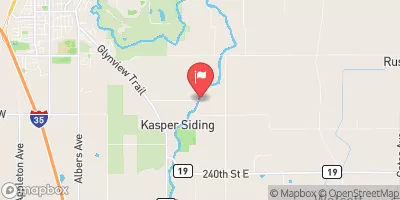
Nearby: Dobbins Creek Ramsey
°F
°F
mph
Wind
%
Humidity
Located in Mower County, Minnesota, the Cedar River is a hydroelectric dam with a primary purpose of generating energy.
Summary
Built in 1853, this gravity dam stands at a height of 15 feet and spans 220 feet in length. With a normal storage capacity of 152 acre-feet and a maximum discharge of 11,675 cubic feet per second, the Cedar River plays a vital role in managing water resources in the region.
Managed by the local government and regulated by the Minnesota Department of Natural Resources, the Cedar River dam boasts a low hazard potential and a satisfactory condition assessment. Despite its age, the dam continues to operate efficiently, showcasing its enduring engineering and design. The dam's location in Austin, Minnesota, makes it a critical infrastructure for both water management and renewable energy production in the area.
As climate change continues to impact water resources across the globe, the Cedar River serves as a symbol of sustainable energy production and water management practices. With its historical significance and ongoing operational success, the Cedar River dam stands as a testament to the importance of balancing environmental conservation with the need for clean energy generation in a changing climate.
Regional Streamflow Levels
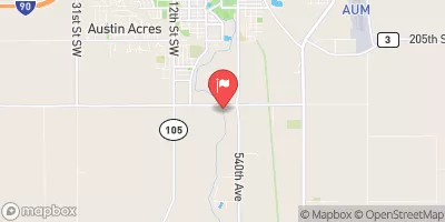 Cedar River Near Austin
|
191cfs |
 Winnebago River At Mason City
|
363cfs |
 South Fork Zumbro River At Rochester
|
175cfs |
 Straight River Near Faribault
|
172cfs |
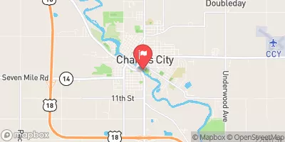 Cedar River At Charles City
|
589cfs |
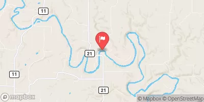 Root River Near Pilot Mound
|
410cfs |
15-Day Long Term Forecast
Year Completed |
1853 |
Dam Length |
220 |
Dam Height |
11 |
River Or Stream |
CEDAR RIVER |
Primary Dam Type |
Gravity |
Surface Area |
20 |
Drainage Area |
204 |
Nid Storage |
209 |
Structural Height |
15 |
Hazard Potential |
Low |
Foundations |
Unlisted/Unknown |
Nid Height |
15 |
Seasonal Comparison
5-Day Hourly Forecast Detail
Dam Data Reference
Condition Assessment
SatisfactoryNo existing or potential dam safety deficiencies are recognized. Acceptable performance is expected under all loading conditions (static, hydrologic, seismic) in accordance with the minimum applicable state or federal regulatory criteria or tolerable risk guidelines.
Fair
No existing dam safety deficiencies are recognized for normal operating conditions. Rare or extreme hydrologic and/or seismic events may result in a dam safety deficiency. Risk may be in the range to take further action. Note: Rare or extreme event is defined by the regulatory agency based on their minimum
Poor A dam safety deficiency is recognized for normal operating conditions which may realistically occur. Remedial action is necessary. POOR may also be used when uncertainties exist as to critical analysis parameters which identify a potential dam safety deficiency. Investigations and studies are necessary.
Unsatisfactory
A dam safety deficiency is recognized that requires immediate or emergency remedial action for problem resolution.
Not Rated
The dam has not been inspected, is not under state or federal jurisdiction, or has been inspected but, for whatever reason, has not been rated.
Not Available
Dams for which the condition assessment is restricted to approved government users.
Hazard Potential Classification
HighDams assigned the high hazard potential classification are those where failure or mis-operation will probably cause loss of human life.
Significant
Dams assigned the significant hazard potential classification are those dams where failure or mis-operation results in no probable loss of human life but can cause economic loss, environment damage, disruption of lifeline facilities, or impact other concerns. Significant hazard potential classification dams are often located in predominantly rural or agricultural areas but could be in areas with population and significant infrastructure.
Low
Dams assigned the low hazard potential classification are those where failure or mis-operation results in no probable loss of human life and low economic and/or environmental losses. Losses are principally limited to the owner's property.
Undetermined
Dams for which a downstream hazard potential has not been designated or is not provided.
Not Available
Dams for which the downstream hazard potential is restricted to approved government users.
Area Campgrounds
| Location | Reservations | Toilets |
|---|---|---|
 Camping
|
||
 Adams City Park Campgrounds
|
||
 Otranto County Park Campground
|
||
 Backpack #5
|
||
 Backpack #4
|
||
 Backpack #3
|
 Clear Lake At Clear Lake
 Oakland Place Northeast Austin
 The Minnesota-Iowa State Border To Ends Near The Town Of Bluffton, Iowa
 The Town Of Bluffton To The "Lower" Dam, Near The Confluence Of Coon Creek