
Tobacco Branch Dam Reservoir Report
Nearby: Maness Dam Crimmins Dam
Last Updated: December 13, 2025
Tobacco Branch Dam, also known as Mitchell Dam, is a private dam located in Bryson City, North Carolina.
°F
°F
mph
Wind
%
Humidity
Summary
The dam is regulated by the North Carolina Department of Environmental Quality's Dam Safety Program and is designed by the USDA NRCS. Its primary purpose is for recreation, with a hydraulic height of 16.2 feet and a structural height of 22.2 feet, creating a reservoir with a normal storage capacity of 15 acre-feet.
With a hazard potential rated as high and a condition assessment deemed fair as of November 2018, the dam poses a moderate risk that is being managed through appropriate measures. The dam has an uncontrolled spillway and outlet gates, with a maximum discharge capacity of 2,106 cubic feet per second. The surrounding area has a drainage area of 434 square miles, making it essential for water resource and climate enthusiasts to monitor its risk and condition closely.
Overall, Tobacco Branch Dam serves as a vital recreational structure in Graham County, North Carolina, offering opportunities for outdoor activities and water-based leisure. Its location on the Tobacco Branch stream adds to its ecological significance, and ongoing inspections and risk assessments help ensure the safety of the surrounding community and environment. For enthusiasts interested in water resource management and climate resilience, Tobacco Branch Dam presents a compelling case study in balancing recreational benefits with the need for careful dam operation and maintenance.
Dam Length |
204 |
River Or Stream |
Tobacco Branch |
Primary Dam Type |
Earth |
Surface Area |
5 |
Hydraulic Height |
16.2 |
Drainage Area |
434 |
Nid Storage |
48 |
Structural Height |
22.2 |
Outlet Gates |
Uncontrolled |
Hazard Potential |
High |
Foundations |
Soil |
Nid Height |
22 |
Seasonal Comparison
Weather Forecast
Nearby Streamflow Levels

Dam Data Reference
Condition Assessment
SatisfactoryNo existing or potential dam safety deficiencies are recognized. Acceptable performance is expected under all loading conditions (static, hydrologic, seismic) in accordance with the minimum applicable state or federal regulatory criteria or tolerable risk guidelines.
Fair
No existing dam safety deficiencies are recognized for normal operating conditions. Rare or extreme hydrologic and/or seismic events may result in a dam safety deficiency. Risk may be in the range to take further action. Note: Rare or extreme event is defined by the regulatory agency based on their minimum
Poor A dam safety deficiency is recognized for normal operating conditions which may realistically occur. Remedial action is necessary. POOR may also be used when uncertainties exist as to critical analysis parameters which identify a potential dam safety deficiency. Investigations and studies are necessary.
Unsatisfactory
A dam safety deficiency is recognized that requires immediate or emergency remedial action for problem resolution.
Not Rated
The dam has not been inspected, is not under state or federal jurisdiction, or has been inspected but, for whatever reason, has not been rated.
Not Available
Dams for which the condition assessment is restricted to approved government users.
Hazard Potential Classification
HighDams assigned the high hazard potential classification are those where failure or mis-operation will probably cause loss of human life.
Significant
Dams assigned the significant hazard potential classification are those dams where failure or mis-operation results in no probable loss of human life but can cause economic loss, environment damage, disruption of lifeline facilities, or impact other concerns. Significant hazard potential classification dams are often located in predominantly rural or agricultural areas but could be in areas with population and significant infrastructure.
Low
Dams assigned the low hazard potential classification are those where failure or mis-operation results in no probable loss of human life and low economic and/or environmental losses. Losses are principally limited to the owner's property.
Undetermined
Dams for which a downstream hazard potential has not been designated or is not provided.
Not Available
Dams for which the downstream hazard potential is restricted to approved government users.
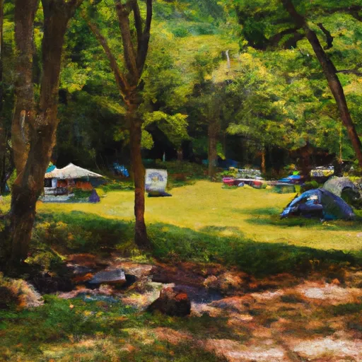
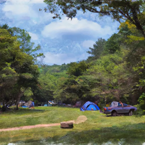
Area Campgrounds
| Location | Reservations | Toilets |
|---|---|---|
 Tsali Recreation Area
|
||
 Tsali
Tsali
|
||
 Tsali Campground
|
||
 #78 Double Island
|
||
 Turkey Creek Campground
|
||
 #73 Lone Pine
|
 Tobacco Branch Dam
 Cable Cove Road, Fontana Dam
 Natahala Powerhouse To Lake Fontana (River Mile 4)