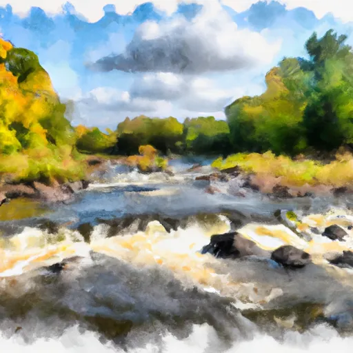
Plant Site Settling Dam

Plant Site Settling
Plant Site Settling is a private water resource infrastructure located in Virginia, Minnesota, along the Sand River-OS. Built in 1950, this earthen dam stands at a height of 15 feet and has a length of 2400 feet, providing storage capacity for tailings with a maximum storage of 463 acre-feet. The dam is under the regulatory oversight of the Minnesota Department of Natural Resources, ensuring that it is inspected, permitted, and enforced to maintain its structural integrity.
With a significant hazard potential and a satisfactory condition assessment as of the last inspection in 2013, Plant Site Settling plays a crucial role in managing water resources in the area. The dam is designed to handle a maximum discharge of 295 cubic feet per second and has a drainage area of 0.1 square miles. Despite its age, the dam continues to serve its primary purpose effectively, with a normal storage capacity of 297 acre-feet and a surface area of 40 acres.
As water resource and climate enthusiasts, understanding the vital role of infrastructure like Plant Site Settling is essential for sustainable water management. By ensuring proper regulation, inspection, and maintenance of such structures, we can protect communities and the environment from potential hazards while maintaining the efficient storage and control of water resources in the region.
Plan around the weather
Same NOAA / yr.no feed Snoflo's iOS app uses. Watch the precipitation column on the meteogram -- rain on the basin upstream typically lifts inflow 24-72 hours later.
Next 5 days, hour by hour
Temperature line with weather symbols on top, snow + rain accumulation as columns, humidity as a dotted line.
5-day forecast table
Every 3 hours, broken out across temperature, snow, rain, humidity, and wind. Each cell is colour-coded relative to the column min/max.
| Time | Condition | Temp (°F) | Snow (in) | Rain (in) | Humidity (%) | Wind (mps) | Wind dir |
|---|---|---|---|---|---|---|---|
| Loading detailed forecast… | |||||||
15-day temperature & precipitation
Daily temperatures, snow, and rain projected over the next two weeks.
Nearby streamflow gauges
USGS streamgauges around Plant Site Settling -- inflows here typically show up in storage 24-72 hours later.
| Streamgauge | Discharge | View |
|---|---|---|
| South Kawishiwi R Abv White Iron Lake Nr Ely | 101 cfs | → |
| Prairie River Near Taconite | 33 cfs | → |
| South Kawishiwi River Near Ely | 81 cfs | → |
| Vermilion River Nr Crane Lake | 134 cfs | → |
| Mississippi River At Grand Rapids | 209 cfs | → |
| Kawishiwi River Near Ely | 47 cfs | → |


About Plant Site Settling
Where does the data for Plant Site Settling come from?
Structural and regulatory data come from the U.S. Army Corps of Engineers' National Inventory of Dams (NID). Weather forecast comes from NOAA / yr.no -- the same feed Snoflo's iOS app uses.
How often is the report updated?
NID structural data refreshes annually as the Corps publishes updated assessments. The weather forecast refreshes throughout the day.
What does the Significant hazard rating mean?
The Corps of Engineers' hazard potential classification grades probable consequences if the dam fails: High = probable loss of human life; Significant = no probable loss of human life but possible economic loss / environmental damage; Low = no probable loss of human life, only minor economic / environmental losses. See the Dam Data Reference card below for the full definitions.
What's "% of normal"?
The current storage value compared to the historical average storage on this calendar day. 100% = right on average; values above 100% mean above-normal storage (wet year); values below mean below-normal (dry year or drought).
Can I get alerts when storage crosses a threshold?
Yes -- alerts are managed in the Snoflo iOS app. Favorite this dam, set a threshold, and you'll get a push the moment conditions cross.
Dam data reference
Condition Assessment
- Satisfactory
- No existing or potential dam safety deficiencies are recognized. Acceptable performance is expected under all loading conditions (static, hydrologic, seismic) in accordance with the minimum applicable state or federal regulatory criteria or tolerable risk guidelines.
- Fair
- No existing dam safety deficiencies are recognized for normal operating conditions. Rare or extreme hydrologic and/or seismic events may result in a dam safety deficiency. Risk may be in the range to take further action.
- Poor
- A dam safety deficiency is recognized for normal operating conditions which may realistically occur. Remedial action is necessary. POOR may also be used when uncertainties exist as to critical analysis parameters which identify a potential dam safety deficiency.
- Unsatisfactory
- A dam safety deficiency is recognized that requires immediate or emergency remedial action for problem resolution.
- Not Rated
- The dam has not been inspected, is not under state or federal jurisdiction, or has been inspected but, for whatever reason, has not been rated.
Hazard Potential Classification
- High
- Dams assigned the high hazard potential classification are those where failure or mis-operation will probably cause loss of human life.
- Significant
- Dams assigned the significant hazard potential classification are those dams where failure or mis-operation results in no probable loss of human life but can cause economic loss, environmental damage, disruption of lifeline facilities, or impact other concerns. Significant hazard potential classification dams are often located in predominantly rural or agricultural areas but could be in areas with population and significant infrastructure.
- Low
- Dams assigned the low hazard potential classification are those where failure or mis-operation results in no probable loss of human life and low economic and/or environmental losses. Losses are principally limited to the owner's property.
- Undetermined
- Dams for which a downstream hazard potential has not been designated or is not provided.