Archer #2 Dam

Archer #2
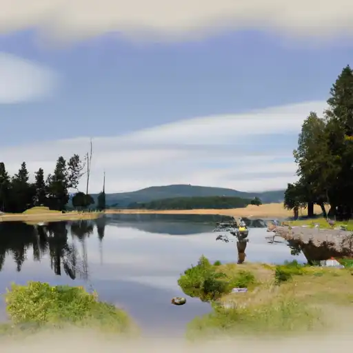
Archer #2 is a privately owned irrigation dam located in Fergus County, Montana, along the TR-North Fork Elk Creek. Built in 1964 by the USDA NRCS, this Earth-type dam stands at 33 feet high and spans 150 feet in length, providing a storage capacity of 65 acre-feet for agricultural water supply. The dam is regulated and inspected by the DNRC, ensuring its safe operation and compliance with state jurisdictional requirements.
With a low hazard potential and a condition assessment of "Not Rated," Archer #2 serves as a crucial water resource for the surrounding area, supporting irrigation activities and contributing to the local agricultural economy. Despite lacking specific data on surface area and drainage, the dam's maximum discharge of 100 cubic feet per second and spillway width of 20 feet indicate its ability to effectively manage water flow and prevent flooding. The dam's location in a remote area near Mosby, Montana, underscores its importance in sustaining water availability for local farmers and landowners.
As a key infrastructure for water management in the region, Archer #2 represents a partnership between private ownership, federal design by the Natural Resources Conservation Service, and state regulatory oversight by the DNRC. With a history of responsible operation and maintenance, this dam plays a vital role in ensuring water security and supporting agricultural productivity in Fergus County. Its strategic placement along TR-North Fork Elk Creek highlights the significance of efficient water resource management in the face of changing climate conditions and increasing demands on water supply.
Plan around the weather
Same NOAA / yr.no feed Snoflo's iOS app uses. Watch the precipitation column on the meteogram -- rain on the basin upstream typically lifts inflow 24-72 hours later.
Next 5 days, hour by hour
Temperature line with weather symbols on top, snow + rain accumulation as columns, humidity as a dotted line.
5-day forecast table
Every 3 hours, broken out across temperature, snow, rain, humidity, and wind. Each cell is colour-coded relative to the column min/max.
| Time | Condition | Temp (°F) | Snow (in) | Rain (in) | Humidity (%) | Wind (mps) | Wind dir |
|---|---|---|---|---|---|---|---|
| Loading detailed forecast… | |||||||
15-day temperature & precipitation
Daily temperatures, snow, and rain projected over the next two weeks.
Nearby streamflow gauges
USGS streamgauges around Archer #2 -- inflows here typically show up in storage 24-72 hours later.
| Streamgauge | Discharge | View |
|---|---|---|
| Flatwillow Creek Near Mosby Mt | 1 cfs | → |
| Musselshell River At Mosby Mt | 366 cfs | → |
| Musselshell River Near Roundup Mt | 274 cfs | → |
| Musselshell River At Musselshell Mt | 327 cfs | → |
| Missouri River Near Landusky Mt | 6,550 cfs | → |
Make a day of it
Boat launches, lakeside camping, fishing access, and other reservoirs near Archer #2.
Campgrounds
See all →


About Archer #2
Where does the data for Archer #2 come from?
Structural and regulatory data come from the U.S. Army Corps of Engineers' National Inventory of Dams (NID). Weather forecast comes from NOAA / yr.no -- the same feed Snoflo's iOS app uses.
How often is the report updated?
NID structural data refreshes annually as the Corps publishes updated assessments. The weather forecast refreshes throughout the day.
What does the Low hazard rating mean?
The Corps of Engineers' hazard potential classification grades probable consequences if the dam fails: High = probable loss of human life; Significant = no probable loss of human life but possible economic loss / environmental damage; Low = no probable loss of human life, only minor economic / environmental losses. See the Dam Data Reference card below for the full definitions.
What's "% of normal"?
The current storage value compared to the historical average storage on this calendar day. 100% = right on average; values above 100% mean above-normal storage (wet year); values below mean below-normal (dry year or drought).
Can I get alerts when storage crosses a threshold?
Yes -- alerts are managed in the Snoflo iOS app. Favorite this dam, set a threshold, and you'll get a push the moment conditions cross.
Dam data reference
Condition Assessment
- Satisfactory
- No existing or potential dam safety deficiencies are recognized. Acceptable performance is expected under all loading conditions (static, hydrologic, seismic) in accordance with the minimum applicable state or federal regulatory criteria or tolerable risk guidelines.
- Fair
- No existing dam safety deficiencies are recognized for normal operating conditions. Rare or extreme hydrologic and/or seismic events may result in a dam safety deficiency. Risk may be in the range to take further action.
- Poor
- A dam safety deficiency is recognized for normal operating conditions which may realistically occur. Remedial action is necessary. POOR may also be used when uncertainties exist as to critical analysis parameters which identify a potential dam safety deficiency.
- Unsatisfactory
- A dam safety deficiency is recognized that requires immediate or emergency remedial action for problem resolution.
- Not Rated
- The dam has not been inspected, is not under state or federal jurisdiction, or has been inspected but, for whatever reason, has not been rated.
Hazard Potential Classification
- High
- Dams assigned the high hazard potential classification are those where failure or mis-operation will probably cause loss of human life.
- Significant
- Dams assigned the significant hazard potential classification are those dams where failure or mis-operation results in no probable loss of human life but can cause economic loss, environmental damage, disruption of lifeline facilities, or impact other concerns. Significant hazard potential classification dams are often located in predominantly rural or agricultural areas but could be in areas with population and significant infrastructure.
- Low
- Dams assigned the low hazard potential classification are those where failure or mis-operation results in no probable loss of human life and low economic and/or environmental losses. Losses are principally limited to the owner's property.
- Undetermined
- Dams for which a downstream hazard potential has not been designated or is not provided.