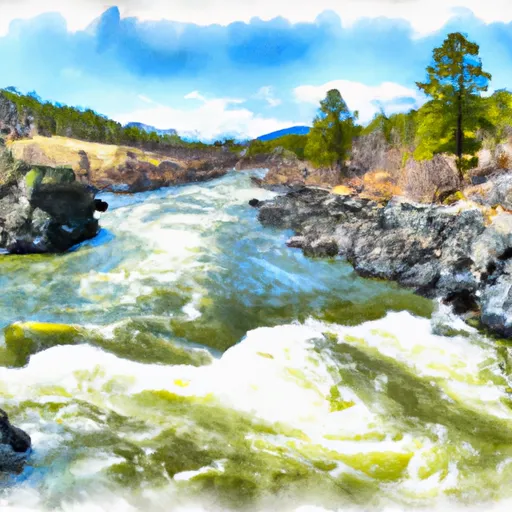
Stauffer Chemical #1 Dam

Stauffer Chemical #1
Stauffer Chemical #1, also known as Rhone Poulenc, is a privately owned earth dam located in Silver Bow, Montana. Completed in 1954, this dam on TR-Silverbow Creek has a height of 47 feet and a storage capacity of 815 acre-feet. With a low hazard potential and a condition assessment of "Not Rated," this dam plays a crucial role in water resource management in the region.
Managed by the Montana Department of Natural Resources and Conservation (DNRC), Stauffer Chemical #1 is equipped with state permitting, inspection, and enforcement protocols to ensure its safety and compliance with regulations. Located in the congressional district represented by Greg Gianforte, this dam serves a primary purpose of "Other" and has not undergone any major modifications since its construction.
While the dam's specific risk assessment and emergency preparedness details are currently unavailable, its presence along TR-Silverbow Creek highlights the importance of maintaining and monitoring water resources in the face of changing climate conditions. Water resource and climate enthusiasts will find Stauffer Chemical #1 to be a fascinating case study in dam infrastructure and its role in supporting sustainable water management practices in Montana.
Plan around the weather
Same NOAA / yr.no feed Snoflo's iOS app uses. Watch the precipitation column on the meteogram -- rain on the basin upstream typically lifts inflow 24-72 hours later.
Next 5 days, hour by hour
Temperature line with weather symbols on top, snow + rain accumulation as columns, humidity as a dotted line.
5-day forecast table
Every 3 hours, broken out across temperature, snow, rain, humidity, and wind. Each cell is colour-coded relative to the column min/max.
| Time | Condition | Temp (°F) | Snow (in) | Rain (in) | Humidity (%) | Wind (mps) | Wind dir |
|---|---|---|---|---|---|---|---|
| Loading detailed forecast… | |||||||
15-day temperature & precipitation
Daily temperatures, snow, and rain projected over the next two weeks.
Nearby streamflow gauges
USGS streamgauges around Stauffer Chemical #1 -- inflows here typically show up in storage 24-72 hours later.
| Streamgauge | Discharge | View |
|---|---|---|
| Silver Bow Cr Bl Blacktail Cr At Butte Mt | 13 cfs | → |
| Blacktail Creek At Butte Mt | 16 cfs | → |
| Silver Bow Creek At Opportunity Mt | 20 cfs | → |
| Willow Creek At Opportunity | 7 cfs | → |
| Mill Creek At Opportunity | 8 cfs | → |
| Silver Bow Creek At Warm Springs Mt | 53 cfs | → |


About Stauffer Chemical #1
Where does the data for Stauffer Chemical #1 come from?
Structural and regulatory data come from the U.S. Army Corps of Engineers' National Inventory of Dams (NID). Weather forecast comes from NOAA / yr.no -- the same feed Snoflo's iOS app uses.
How often is the report updated?
NID structural data refreshes annually as the Corps publishes updated assessments. The weather forecast refreshes throughout the day.
What does the Low hazard rating mean?
The Corps of Engineers' hazard potential classification grades probable consequences if the dam fails: High = probable loss of human life; Significant = no probable loss of human life but possible economic loss / environmental damage; Low = no probable loss of human life, only minor economic / environmental losses. See the Dam Data Reference card below for the full definitions.
What's "% of normal"?
The current storage value compared to the historical average storage on this calendar day. 100% = right on average; values above 100% mean above-normal storage (wet year); values below mean below-normal (dry year or drought).
Can I get alerts when storage crosses a threshold?
Yes -- alerts are managed in the Snoflo iOS app. Favorite this dam, set a threshold, and you'll get a push the moment conditions cross.
Dam data reference
Condition Assessment
- Satisfactory
- No existing or potential dam safety deficiencies are recognized. Acceptable performance is expected under all loading conditions (static, hydrologic, seismic) in accordance with the minimum applicable state or federal regulatory criteria or tolerable risk guidelines.
- Fair
- No existing dam safety deficiencies are recognized for normal operating conditions. Rare or extreme hydrologic and/or seismic events may result in a dam safety deficiency. Risk may be in the range to take further action.
- Poor
- A dam safety deficiency is recognized for normal operating conditions which may realistically occur. Remedial action is necessary. POOR may also be used when uncertainties exist as to critical analysis parameters which identify a potential dam safety deficiency.
- Unsatisfactory
- A dam safety deficiency is recognized that requires immediate or emergency remedial action for problem resolution.
- Not Rated
- The dam has not been inspected, is not under state or federal jurisdiction, or has been inspected but, for whatever reason, has not been rated.
Hazard Potential Classification
- High
- Dams assigned the high hazard potential classification are those where failure or mis-operation will probably cause loss of human life.
- Significant
- Dams assigned the significant hazard potential classification are those dams where failure or mis-operation results in no probable loss of human life but can cause economic loss, environmental damage, disruption of lifeline facilities, or impact other concerns. Significant hazard potential classification dams are often located in predominantly rural or agricultural areas but could be in areas with population and significant infrastructure.
- Low
- Dams assigned the low hazard potential classification are those where failure or mis-operation results in no probable loss of human life and low economic and/or environmental losses. Losses are principally limited to the owner's property.
- Undetermined
- Dams for which a downstream hazard potential has not been designated or is not provided.