


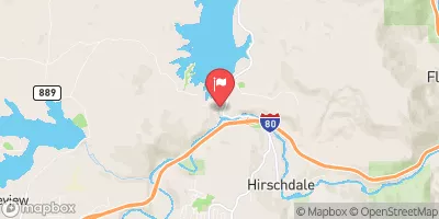
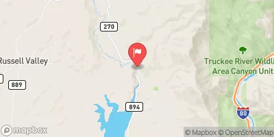
Boca Res Nr Truckee Ca Reservoir Report
Last Updated: April 26, 2026
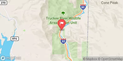
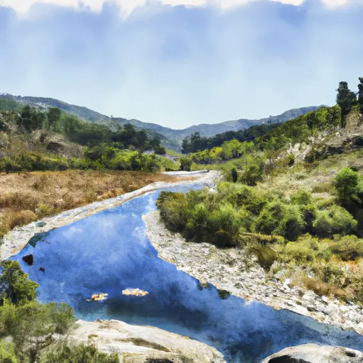
Nearby: Prosser Creek Martis Creek Dam
°F
°F
mph
Wind
%
Humidity
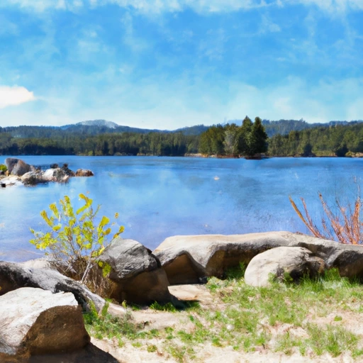
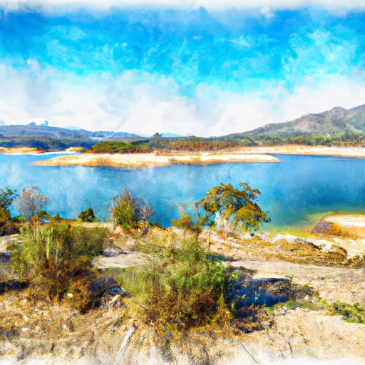
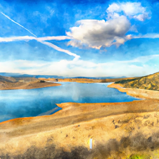
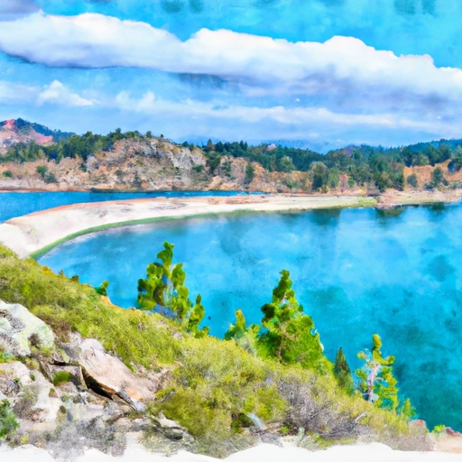
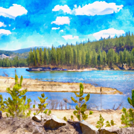
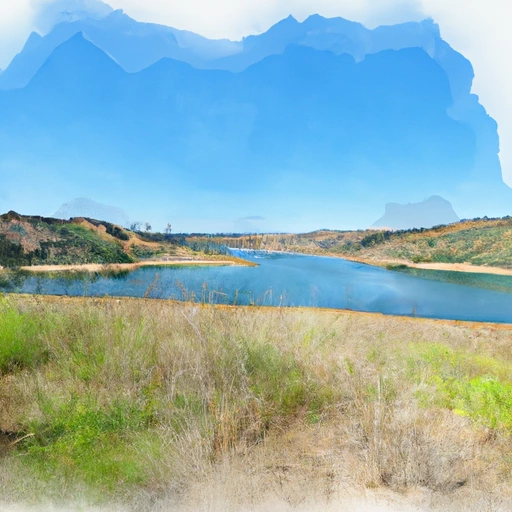
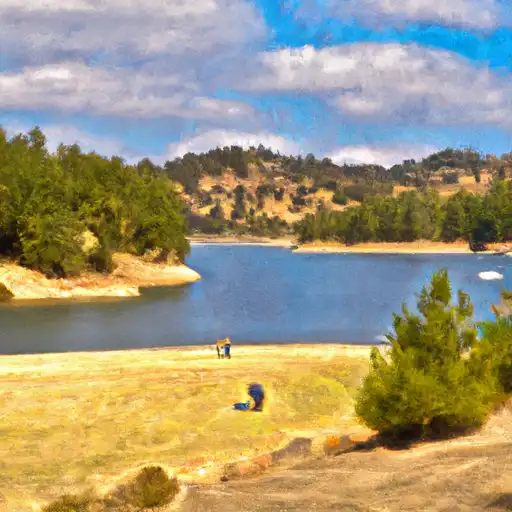
Boca Reservoir is a man-made lake in Truckee, California.
Summary
It was created in 1939 by the construction of the Boca Dam on the Little Truckee River. The lake has a surface area of 980 acres and can hold up to 40,000 acre-feet of water. It serves as a source of water for the Truckee Meadows Water Authority and provides recreation opportunities for the surrounding communities, including fishing, boating, and camping. The hydrology of the reservoir is heavily influenced by the surrounding snowpack, which provides the majority of the water supply. The Little Truckee River is the primary surface flow provider for the reservoir, but several smaller streams also contribute. The surrounding area is used for agriculture, with hay and cattle grazing being common activities. Overall, Boca Reservoir is an important resource for both water supply and recreation in the Truckee area.
Regional Streamflow Levels
15-Day Long Term Forecast
Reservoir Details
| Lake Or Reservoir Water Surface Elevation Above Ngvd 1929, Ft 24hr Change | 0.0% |
| Percent of Normal | 100% |
| Minimum |
5,544.84 ft
2015-09-11 |
| Maximum |
5,604.98 ft
2017-07-16 |
| Average | 5,583 ft |
| Dam_Height | 116 |
| Hydraulic_Height | 100 |
| Drainage_Area | 171 |
| Year_Completed | 1939 |
| Nid_Storage | 41141 |
| Hazard_Potential | High |
| Structural_Height | 116 |
| River_Or_Stream | LITTLE TRUCKEE RIVER |
| Foundations | Rock |
| Surface_Area | 977 |
| Dam_Length | 1630 |
| Primary_Dam_Type | Earth |
| Nid_Height | 116 |
Seasonal Comparison
Reservoir Storage, Acre-Ft Levels
Lake Or Reservoir Water Surface Elevation Above Ngvd 1929, Ft Levels
5-Day Hourly Forecast Detail
Dam Data Reference
Condition Assessment
SatisfactoryNo existing or potential dam safety deficiencies are recognized. Acceptable performance is expected under all loading conditions (static, hydrologic, seismic) in accordance with the minimum applicable state or federal regulatory criteria or tolerable risk guidelines.
Fair
No existing dam safety deficiencies are recognized for normal operating conditions. Rare or extreme hydrologic and/or seismic events may result in a dam safety deficiency. Risk may be in the range to take further action. Note: Rare or extreme event is defined by the regulatory agency based on their minimum
Poor A dam safety deficiency is recognized for normal operating conditions which may realistically occur. Remedial action is necessary. POOR may also be used when uncertainties exist as to critical analysis parameters which identify a potential dam safety deficiency. Investigations and studies are necessary.
Unsatisfactory
A dam safety deficiency is recognized that requires immediate or emergency remedial action for problem resolution.
Not Rated
The dam has not been inspected, is not under state or federal jurisdiction, or has been inspected but, for whatever reason, has not been rated.
Not Available
Dams for which the condition assessment is restricted to approved government users.
Hazard Potential Classification
HighDams assigned the high hazard potential classification are those where failure or mis-operation will probably cause loss of human life.
Significant
Dams assigned the significant hazard potential classification are those dams where failure or mis-operation results in no probable loss of human life but can cause economic loss, environment damage, disruption of lifeline facilities, or impact other concerns. Significant hazard potential classification dams are often located in predominantly rural or agricultural areas but could be in areas with population and significant infrastructure.
Low
Dams assigned the low hazard potential classification are those where failure or mis-operation results in no probable loss of human life and low economic and/or environmental losses. Losses are principally limited to the owner's property.
Undetermined
Dams for which a downstream hazard potential has not been designated or is not provided.
Not Available
Dams for which the downstream hazard potential is restricted to approved government users.
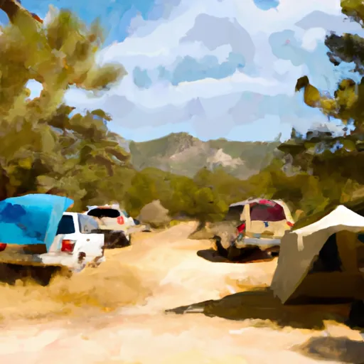
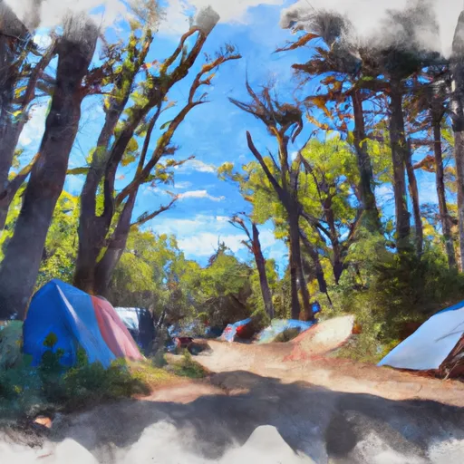
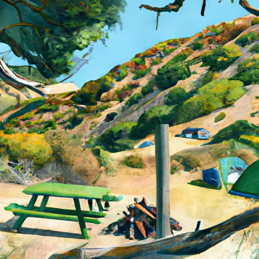
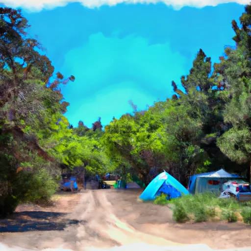
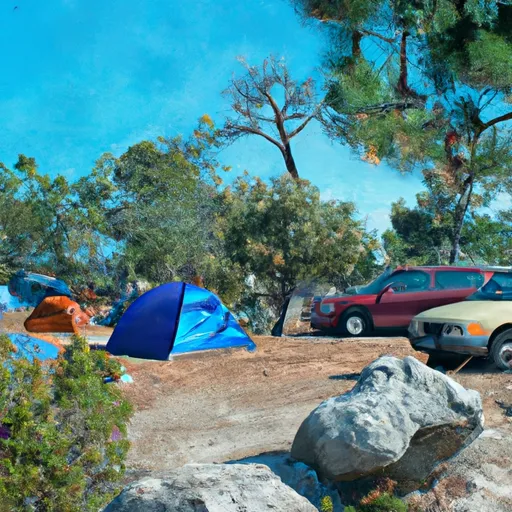
Area Campgrounds
| Location | Reservations | Toilets |
|---|---|---|
 Boca
Boca
|
||
 Boca Campground
|
||
 Boca Rest Campground
|
||
 Boca Rest
|
||
 Boca Springs Campground
|
||
 Boca Springs
|
 Boca Res Nr Truckee Ca
 Boca Reservoir
 Prosser Creek Reservoir
 Prosser C Res Nr Truckee Ca
 Martis Creek Reservoir
 Stampede Res Nr Boca Ca
 Headwaters Se 1/4 Of Sec 10, T18, R15E To Stampede Reservoir
 Headwaters To Trailhead
 Stampede Reservoir
 China Cove
 Donner Lake