Weber Dam

Weber
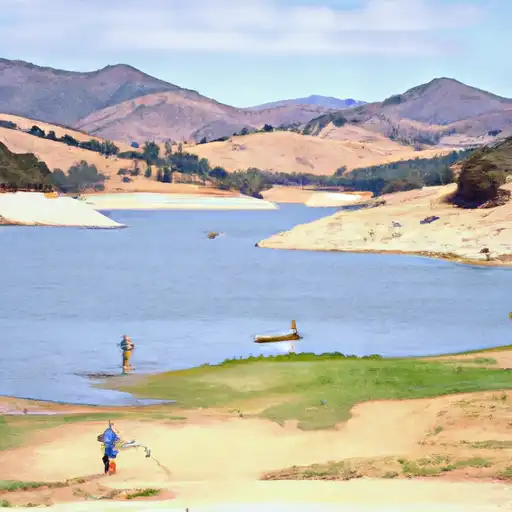
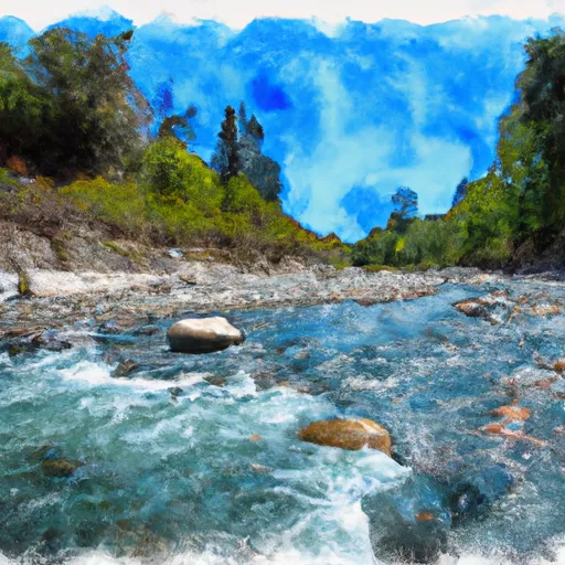
Weber Reservoir, also known simply as Weber, is a federally owned water resource located in Schurz, Nevada, along the Walker River. Managed by the Bureau of Indian Affairs, this reservoir was completed in 1935 and primarily serves the purpose of irrigation. With a dam height of 40 feet and a storage capacity of 14,900 acre-feet, Weber Reservoir covers an area of 990 acres and has a maximum discharge of 5,200 cubic feet per second.
The dam at Weber Reservoir is classified as an earth dam, with stone core types and foundations made of rock and soil. The spillway, which is controlled and 240 feet wide, helps manage the water levels in the reservoir. Despite being categorized as having a high hazard potential, the condition assessment of Weber Reservoir is currently listed as "Not Available." Emergency action plans and risk management measures for potential inundation events are also being evaluated, with the last revision of the emergency action plan being in October 2015.
Overall, Weber Reservoir plays a crucial role in water management and irrigation in the Mineral County area of Nevada. As a key component of the water infrastructure along the Walker River, its operation and maintenance by the Bureau of Indian Affairs ensure a reliable water supply for agricultural and recreational purposes in the region. With its rich history dating back to the 1930s, Weber Reservoir continues to be a vital resource for the local community and surrounding areas.
Plan around the weather
Same NOAA / yr.no feed Snoflo's iOS app uses. Watch the precipitation column on the meteogram -- rain on the basin upstream typically lifts inflow 24-72 hours later.
Next 5 days, hour by hour
Temperature line with weather symbols on top, snow + rain accumulation as columns, humidity as a dotted line.
5-day forecast table
Every 3 hours, broken out across temperature, snow, rain, humidity, and wind. Each cell is colour-coded relative to the column min/max.
| Time | Condition | Temp (°F) | Snow (in) | Rain (in) | Humidity (%) | Wind (mps) | Wind dir |
|---|---|---|---|---|---|---|---|
| Loading detailed forecast… | |||||||
15-day temperature & precipitation
Daily temperatures, snow, and rain projected over the next two weeks.
Nearby streamflow gauges
USGS streamgauges around Weber -- inflows here typically show up in storage 24-72 hours later.
| Streamgauge | Discharge | View |
|---|---|---|
| Canal No 2 Abv Little Dam Nr Schurz | 12 cfs | → |
| Walker R Abv Little Dam Nr Schurz | 22 cfs | → |
| Canal No 1 Blw Little Dam Nr Schurz | 20 cfs | → |
| Walker River Ab Weber Res Nr Schurz | 2 cfs | → |
| Walker R At Lateral 2-A Siphon Nr Schurz | 18 cfs | → |
| Walker R Nr Wabuska | 36 cfs | → |


About Weber
Where does the data for Weber come from?
Structural and regulatory data come from the U.S. Army Corps of Engineers' National Inventory of Dams (NID). Weather forecast comes from NOAA / yr.no -- the same feed Snoflo's iOS app uses.
How often is the report updated?
NID structural data refreshes annually as the Corps publishes updated assessments. The weather forecast refreshes throughout the day.
What does the High hazard rating mean?
The Corps of Engineers' hazard potential classification grades probable consequences if the dam fails: High = probable loss of human life; Significant = no probable loss of human life but possible economic loss / environmental damage; Low = no probable loss of human life, only minor economic / environmental losses. See the Dam Data Reference card below for the full definitions.
What's "% of normal"?
The current storage value compared to the historical average storage on this calendar day. 100% = right on average; values above 100% mean above-normal storage (wet year); values below mean below-normal (dry year or drought).
Can I get alerts when storage crosses a threshold?
Yes -- alerts are managed in the Snoflo iOS app. Favorite this dam, set a threshold, and you'll get a push the moment conditions cross.
Dam data reference
Condition Assessment
- Satisfactory
- No existing or potential dam safety deficiencies are recognized. Acceptable performance is expected under all loading conditions (static, hydrologic, seismic) in accordance with the minimum applicable state or federal regulatory criteria or tolerable risk guidelines.
- Fair
- No existing dam safety deficiencies are recognized for normal operating conditions. Rare or extreme hydrologic and/or seismic events may result in a dam safety deficiency. Risk may be in the range to take further action.
- Poor
- A dam safety deficiency is recognized for normal operating conditions which may realistically occur. Remedial action is necessary. POOR may also be used when uncertainties exist as to critical analysis parameters which identify a potential dam safety deficiency.
- Unsatisfactory
- A dam safety deficiency is recognized that requires immediate or emergency remedial action for problem resolution.
- Not Rated
- The dam has not been inspected, is not under state or federal jurisdiction, or has been inspected but, for whatever reason, has not been rated.
Hazard Potential Classification
- High
- Dams assigned the high hazard potential classification are those where failure or mis-operation will probably cause loss of human life.
- Significant
- Dams assigned the significant hazard potential classification are those dams where failure or mis-operation results in no probable loss of human life but can cause economic loss, environmental damage, disruption of lifeline facilities, or impact other concerns. Significant hazard potential classification dams are often located in predominantly rural or agricultural areas but could be in areas with population and significant infrastructure.
- Low
- Dams assigned the low hazard potential classification are those where failure or mis-operation results in no probable loss of human life and low economic and/or environmental losses. Losses are principally limited to the owner's property.
- Undetermined
- Dams for which a downstream hazard potential has not been designated or is not provided.