


Allatoona Lake Near Cartersville Reservoir Report
Last Updated: May 1, 2026
°F
°F
mph
Wind
%
Humidity
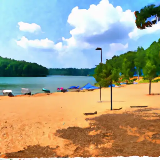
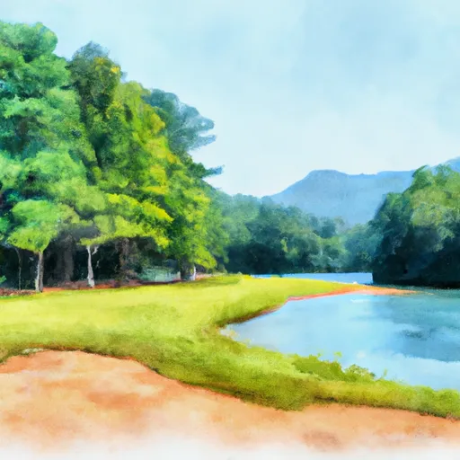
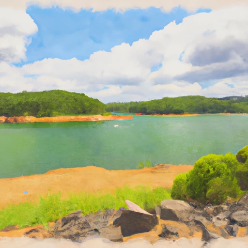
Allatoona Lake is a man-made reservoir located near Cartersville, GA in Georgia.
Summary
It was established in 1949 by the U.S. Army Corps of Engineers for flood control, hydroelectric power generation, and water supply. The lake is fed by the Etowah River and has a surface area of 12,010 acres. The hydrology of the lake is managed by a complex system of dams and gates that regulate the water levels. The lake serves as a major source of drinking water for the surrounding communities and is also used for agriculture and recreation. The lake is home to a variety of fish species, including bass, crappie, and catfish. Recreational activities include boating, fishing, camping, and hiking. The lake also provides water for irrigation of agricultural crops in the area.
Regional Streamflow Levels
 Etowah River At Allatoona Dam
|
289cfs |
 Etowah River At Ga 61
|
682cfs |
 Two Run Creek Near Kingston
|
14cfs |
 Noonday Creek At Shallowford Road
|
25cfs |
 Noonday Creek At Hawkins Store Rd
|
25cfs |
 Etowah River At Canton
|
594cfs |
15-Day Long Term Forecast
Reservoir Details
| Elevation Of Reservoir Water Surface Above Datum, Ft 24hr Change | 0.0% |
| Percent of Normal | 100% |
| Minimum |
818.89 ft
2007-12-15 |
| Maximum |
853.12 ft
2009-09-24 |
| Average | 840 ft |
| Hydraulic_Height | 170 |
| Drainage_Area | 1122 |
| Year_Completed | 1965 |
| Nid_Storage | 670050 |
| Hazard_Potential | High |
| Structural_Height | 188 |
| River_Or_Stream | ETOWAH |
| Foundations | Rock |
| Surface_Area | 11862 |
| Dam_Length | 125 |
| Primary_Dam_Type | Gravity |
| Nid_Height | 188 |
Seasonal Comparison
Temperature, Air, °C Levels
Barometric Pressure, Mmhg Levels
Wind Speed, Mph Levels
Wind Direction, Degrees Clockwise From North Levels
Precipitation, Total, In Levels
Relative Humidity, Percent Levels
Elevation Of Reservoir Water Surface Above Datum, Ft Levels
Reservoir Storage, Thousand Acre Feet Levels
5-Day Hourly Forecast Detail
Dam Data Reference
Condition Assessment
SatisfactoryNo existing or potential dam safety deficiencies are recognized. Acceptable performance is expected under all loading conditions (static, hydrologic, seismic) in accordance with the minimum applicable state or federal regulatory criteria or tolerable risk guidelines.
Fair
No existing dam safety deficiencies are recognized for normal operating conditions. Rare or extreme hydrologic and/or seismic events may result in a dam safety deficiency. Risk may be in the range to take further action. Note: Rare or extreme event is defined by the regulatory agency based on their minimum
Poor A dam safety deficiency is recognized for normal operating conditions which may realistically occur. Remedial action is necessary. POOR may also be used when uncertainties exist as to critical analysis parameters which identify a potential dam safety deficiency. Investigations and studies are necessary.
Unsatisfactory
A dam safety deficiency is recognized that requires immediate or emergency remedial action for problem resolution.
Not Rated
The dam has not been inspected, is not under state or federal jurisdiction, or has been inspected but, for whatever reason, has not been rated.
Not Available
Dams for which the condition assessment is restricted to approved government users.
Hazard Potential Classification
HighDams assigned the high hazard potential classification are those where failure or mis-operation will probably cause loss of human life.
Significant
Dams assigned the significant hazard potential classification are those dams where failure or mis-operation results in no probable loss of human life but can cause economic loss, environment damage, disruption of lifeline facilities, or impact other concerns. Significant hazard potential classification dams are often located in predominantly rural or agricultural areas but could be in areas with population and significant infrastructure.
Low
Dams assigned the low hazard potential classification are those where failure or mis-operation results in no probable loss of human life and low economic and/or environmental losses. Losses are principally limited to the owner's property.
Undetermined
Dams for which a downstream hazard potential has not been designated or is not provided.
Not Available
Dams for which the downstream hazard potential is restricted to approved government users.
Area Campgrounds
 Gatewood - Lake Allatoona
 Red Top Mountain State Park
 McKaskey Creek - Allatoona Lake
 Macedonia - Lake Allatoona
 Upper Stamp Creek - Allatoona Lake
 McKinney - Allatoona Lake
Nearby Reservoirs
 Allatoona Lake Near Cartersville
 Chattahoochee River At Morgan Falls Dam
 Carters Re-Regulation Lake Near Carters
 Lake Sidney Lanier Near Buford
 State Highway 20 Spur Southeast 1121, Cartersville
River Runs
-
 River Miles 8 Near Ga Sate Line To Confluence With Little River
-
 Confluence With East And West Branches To Al 37 Bridge
-
 Al 35 Bridge To Ends One Mile Upstream From Al 273 Bridge
-
 Source In Cohutta Wilderness To Nf Boundary North Of Murray'S Lake
-
 Begins One Mile Upstream From Al 273 Bridge To Lake Weiss
 Fort Yargo Lake
 Bradshaw Lake
 McNeels Lake
 GB's Lake
 Butternut Creek