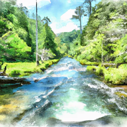
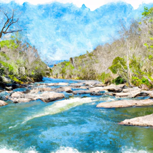
Lake Logan At Dam Near Hazelwood Reservoir
As of July 21, 2026, Lake Logan At Dam Near Hazelwood is holding 53 ft of water — 100% of normal storage for this date. Storage data refreshed throughout the day.

Lake Logan At Dam Near Hazelwood
Lake Logan is a reservoir located at the base of the dam near Hazelwood, NC, in North Carolina. The lake was created in 1945 by Duke Energy for hydroelectric power. The hydrology of the lake is primarily fed by the West Fork of the Pigeon River, which flows into the lake from the north. The Pigeon River Watershed provides specific surface flow to Lake Logan. The snowpack providers in the region include the Great Smoky Mountains and the Blue Ridge Mountains. Agricultural activities in the area primarily include farming and cattle grazing. The lake is a popular destination for recreational activities such as fishing, boating, kayaking, and swimming. The Lake Logan Episcopal Center also offers retreat and conference facilities on the shores of the lake.
Daily levels at Lake Logan At Dam Near Hazelwood
Storage volume, pool elevation, and total release plotted from the operating agency's daily observations.
Gage height, ft
ft · code 00065
Precipitation, total, in
in · code 00045
Plan around the weather
Same NOAA / yr.no feed Snoflo's iOS app uses. Watch the precipitation column on the meteogram -- rain on the basin upstream typically lifts inflow 24-72 hours later.
Next 5 days, hour by hour
Temperature line with weather symbols on top, snow + rain accumulation as columns, humidity as a dotted line.
5-day forecast table
Every 3 hours, broken out across temperature, snow, rain, humidity, and wind. Each cell is colour-coded relative to the column min/max.
| Time | Condition | Temp (°F) | Snow (in) | Rain (in) | Humidity (%) | Wind (mps) | Wind dir |
|---|---|---|---|---|---|---|---|
| Loading detailed forecast… | |||||||
15-day temperature & precipitation
Daily temperatures, snow, and rain projected over the next two weeks.
Nearby streamflow gauges
USGS streamgauges around Lake Logan At Dam Near Hazelwood -- inflows here typically show up in storage 24-72 hours later.
| Streamgauge | Discharge | View |
|---|---|---|
| West Fork Pigeon River Near Retreat | 36 cfs | → |
| W F Pigeon R Above Lake Logan Nr Hazelwood | 30 cfs | → |
| W Fk Pigeon R At Bethel | 54 cfs | → |
| East Fork Pigeon River Near Canton | 65 cfs | → |
| Pigeon River Near Canton | 163 cfs | → |
| Pigeon River Near Hepco | 432 cfs | → |
Make a day of it
Boat launches, lakeside camping, fishing access, and other reservoirs near Lake Logan At Dam Near Hazelwood.
Boat launches
See all →


Campgrounds
See all →


Fishing spots
See all →


River runs
See all →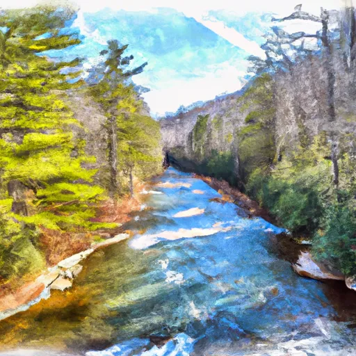


More reservoirs
See all →About Lake Logan At Dam Near Hazelwood
Where does the data for Lake Logan At Dam Near Hazelwood come from?
Daily storage, pool elevation, and release rates are sourced from USGS, USBR, and USACE monitoring stations. Weather forecast comes from NOAA / yr.no -- the same feed Snoflo's iOS app uses.
How often is the report updated?
Storage observations are updated daily by the operating agency. The 15-day weather forecast refreshes throughout the day. Snoflo caches and renders the most recent observation -- check the "as of" timestamp on the storage card.
What does the Hazard hazard rating mean?
The Corps of Engineers' hazard potential classification grades probable consequences if the dam fails: High = probable loss of human life; Significant = no probable loss of human life but possible economic loss / environmental damage; Low = no probable loss of human life, only minor economic / environmental losses. See the Dam Data Reference card below for the full definitions.
What's "% of normal"?
The current storage value compared to the historical average storage on this calendar day. 100% = right on average; values above 100% mean above-normal storage (wet year); values below mean below-normal (dry year or drought).
Can I get alerts when storage crosses a threshold?
Yes -- alerts are managed in the Snoflo iOS app. Favorite this reservoir, set a threshold, and you'll get a push the moment conditions cross.