Squaw Lake Dam Reservoir Report
Last Updated: February 11, 2026
Squaw Lake Dam, located in Jackson County, Oregon, was completed in 1957 by the USDA Forest Service for the primary purpose of water supply.
Summary
The dam stands at 34 feet high with a hydraulic height of 26 feet, constructed mainly of earth and buttress stone. The dam spans 180 feet in length and is situated on Squaw Creek, contributing to the local ecosystem by providing fish and wildlife pond habitats.
Managed by the Forest Service, Squaw Lake Dam has a significant hazard potential and a moderate risk assessment rating. The dam features an uncontrolled spillway and outlet gates, posing potential risks to the surrounding area in case of emergencies. In 2000, the dam underwent structural modifications to ensure its continued safety and functionality, with the last inspection conducted in May 2019. Despite its condition being labeled as "Not Rated," the dam serves as a crucial water resource for the region, supporting various conservation efforts and water supply needs.
For water resource and climate enthusiasts, Squaw Lake Dam presents an intriguing case study in dam infrastructure and management. With its historical significance and environmental impact on Squaw Creek, the dam stands as a testament to the ongoing efforts to balance water supply needs with wildlife conservation. As a federal project owned and regulated by the Forest Service, Squaw Lake Dam exemplifies the complexities and responsibilities involved in maintaining critical water infrastructure in a changing climate landscape.
°F
°F
mph
Wind
%
Humidity
15-Day Weather Outlook
Years Modified |
2000 - Structural |
Year Completed |
1957 |
Dam Length |
180 |
Dam Height |
34 |
River Or Stream |
SQUAW CREEK |
Primary Dam Type |
Earth |
Hydraulic Height |
26 |
Outlet Gates |
Uncontrolled |
Hazard Potential |
Significant |
Foundations |
Rock, Soil |
Nid Height |
34 |
Seasonal Comparison
5-Day Hourly Forecast Detail
Nearby Streamflow Levels
Dam Data Reference
Condition Assessment
SatisfactoryNo existing or potential dam safety deficiencies are recognized. Acceptable performance is expected under all loading conditions (static, hydrologic, seismic) in accordance with the minimum applicable state or federal regulatory criteria or tolerable risk guidelines.
Fair
No existing dam safety deficiencies are recognized for normal operating conditions. Rare or extreme hydrologic and/or seismic events may result in a dam safety deficiency. Risk may be in the range to take further action. Note: Rare or extreme event is defined by the regulatory agency based on their minimum
Poor A dam safety deficiency is recognized for normal operating conditions which may realistically occur. Remedial action is necessary. POOR may also be used when uncertainties exist as to critical analysis parameters which identify a potential dam safety deficiency. Investigations and studies are necessary.
Unsatisfactory
A dam safety deficiency is recognized that requires immediate or emergency remedial action for problem resolution.
Not Rated
The dam has not been inspected, is not under state or federal jurisdiction, or has been inspected but, for whatever reason, has not been rated.
Not Available
Dams for which the condition assessment is restricted to approved government users.
Hazard Potential Classification
HighDams assigned the high hazard potential classification are those where failure or mis-operation will probably cause loss of human life.
Significant
Dams assigned the significant hazard potential classification are those dams where failure or mis-operation results in no probable loss of human life but can cause economic loss, environment damage, disruption of lifeline facilities, or impact other concerns. Significant hazard potential classification dams are often located in predominantly rural or agricultural areas but could be in areas with population and significant infrastructure.
Low
Dams assigned the low hazard potential classification are those where failure or mis-operation results in no probable loss of human life and low economic and/or environmental losses. Losses are principally limited to the owner's property.
Undetermined
Dams for which a downstream hazard potential has not been designated or is not provided.
Not Available
Dams for which the downstream hazard potential is restricted to approved government users.
Area Campgrounds
| Location | Reservations | Toilets |
|---|---|---|
 Acorn Woman Lakes Campground
|
||
 Squaw Lakes
|
||
 Stringtown Campground
|
||
 Harr Point
|
||
 Harr Point Campground
|
||
 Tipsu Tyee
|

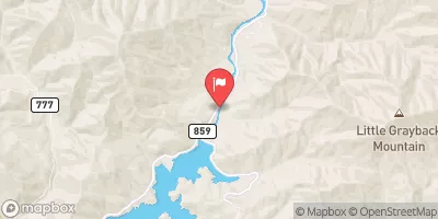
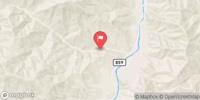
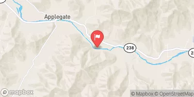
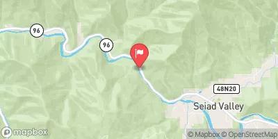
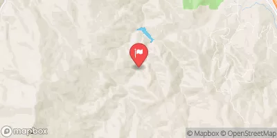
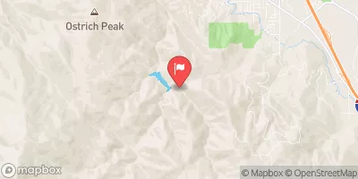
 Squaw Lake Dam
 Applegate Lake Near Copper
 Applegate River
 Little Applegate River