Duncan Reservoir - Dam Dam

Duncan Reservoir - Dam
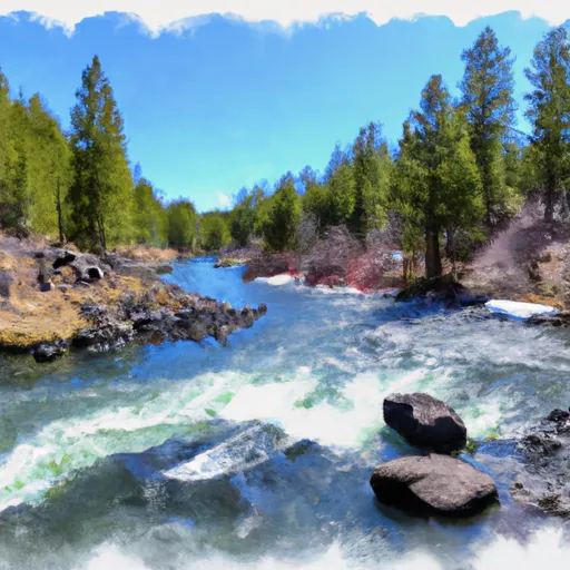
Duncan Reservoir is a gravity dam located in Oregon, specifically in Lake County, along Duncan Creek. Owned and managed by the Bureau of Land Management, this dam was completed in 1973 with a primary purpose of providing recreational opportunities for visitors. With a height of 25 feet and a hydraulic height of 18 feet, Duncan Reservoir has a storage capacity of 284 acre-feet, making it an ideal spot for water resource and climate enthusiasts to explore.
This low-hazard dam spans 508 feet in length and boasts a surface area of 284 acres, offering a picturesque setting for outdoor activities such as fishing, boating, and hiking. While the dam's condition assessment is currently listed as "Not Rated," it is regularly inspected with a frequency of every 5 years to ensure the safety and integrity of the structure. Despite being a federal dam managed by the Bureau of Land Management, Duncan Reservoir does not fall under state jurisdiction, permitting, or regulation, making it a unique destination for nature lovers seeking a peaceful retreat in the heart of Oregon.
For those interested in the history and engineering behind dam structures, Duncan Reservoir presents an intriguing case study with its buttress and stone core types. While the spillway type and width are not specified, the dam's maximum discharge capacity is recorded as 3,017 cubic feet per second. Overall, Duncan Reservoir - Dam is a hidden gem in Oregon, offering a serene environment for water resource and climate enthusiasts to appreciate the beauty and functionality of this gravity dam nestled in the scenic landscape of Lake County.
Plan around the weather
Same NOAA / yr.no feed Snoflo's iOS app uses. Watch the precipitation column on the meteogram -- rain on the basin upstream typically lifts inflow 24-72 hours later.
Next 5 days, hour by hour
Temperature line with weather symbols on top, snow + rain accumulation as columns, humidity as a dotted line.
5-day forecast table
Every 3 hours, broken out across temperature, snow, rain, humidity, and wind. Each cell is colour-coded relative to the column min/max.
| Time | Condition | Temp (°F) | Snow (in) | Rain (in) | Humidity (%) | Wind (mps) | Wind dir |
|---|---|---|---|---|---|---|---|
| Loading detailed forecast… | |||||||
15-day temperature & precipitation
Daily temperatures, snow, and rain projected over the next two weeks.
Nearby streamflow gauges
USGS streamgauges around Duncan Reservoir - Dam -- inflows here typically show up in storage 24-72 hours later.
| Streamgauge | Discharge | View |
|---|---|---|
| Williamson River Near Klamath Agency | · | → |


About Duncan Reservoir - Dam
Where does the data for Duncan Reservoir - Dam come from?
Structural and regulatory data come from the U.S. Army Corps of Engineers' National Inventory of Dams (NID). Weather forecast comes from NOAA / yr.no -- the same feed Snoflo's iOS app uses.
How often is the report updated?
NID structural data refreshes annually as the Corps publishes updated assessments. The weather forecast refreshes throughout the day.
What does the Low hazard rating mean?
The Corps of Engineers' hazard potential classification grades probable consequences if the dam fails: High = probable loss of human life; Significant = no probable loss of human life but possible economic loss / environmental damage; Low = no probable loss of human life, only minor economic / environmental losses. See the Dam Data Reference card below for the full definitions.
What's "% of normal"?
The current storage value compared to the historical average storage on this calendar day. 100% = right on average; values above 100% mean above-normal storage (wet year); values below mean below-normal (dry year or drought).
Can I get alerts when storage crosses a threshold?
Yes -- alerts are managed in the Snoflo iOS app. Favorite this dam, set a threshold, and you'll get a push the moment conditions cross.
Dam data reference
Condition Assessment
- Satisfactory
- No existing or potential dam safety deficiencies are recognized. Acceptable performance is expected under all loading conditions (static, hydrologic, seismic) in accordance with the minimum applicable state or federal regulatory criteria or tolerable risk guidelines.
- Fair
- No existing dam safety deficiencies are recognized for normal operating conditions. Rare or extreme hydrologic and/or seismic events may result in a dam safety deficiency. Risk may be in the range to take further action.
- Poor
- A dam safety deficiency is recognized for normal operating conditions which may realistically occur. Remedial action is necessary. POOR may also be used when uncertainties exist as to critical analysis parameters which identify a potential dam safety deficiency.
- Unsatisfactory
- A dam safety deficiency is recognized that requires immediate or emergency remedial action for problem resolution.
- Not Rated
- The dam has not been inspected, is not under state or federal jurisdiction, or has been inspected but, for whatever reason, has not been rated.
Hazard Potential Classification
- High
- Dams assigned the high hazard potential classification are those where failure or mis-operation will probably cause loss of human life.
- Significant
- Dams assigned the significant hazard potential classification are those dams where failure or mis-operation results in no probable loss of human life but can cause economic loss, environmental damage, disruption of lifeline facilities, or impact other concerns. Significant hazard potential classification dams are often located in predominantly rural or agricultural areas but could be in areas with population and significant infrastructure.
- Low
- Dams assigned the low hazard potential classification are those where failure or mis-operation results in no probable loss of human life and low economic and/or environmental losses. Losses are principally limited to the owner's property.
- Undetermined
- Dams for which a downstream hazard potential has not been designated or is not provided.