


Coweeman Gravel Pit No. 2 Dam Reservoir Report
Last Updated: May 2, 2026
°F
°F
mph
Wind
%
Humidity
Coweeman Gravel Pit No.
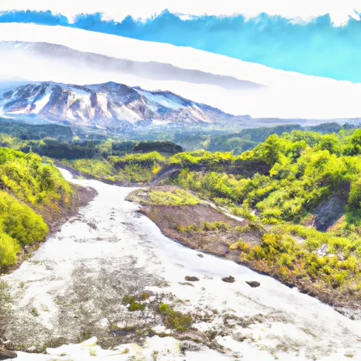
Summary
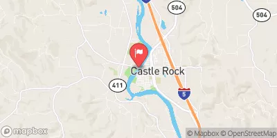
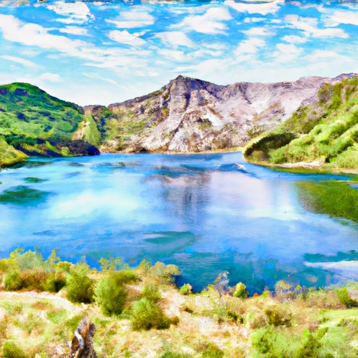
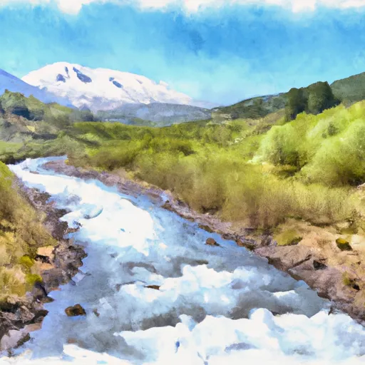
2 Dam, located in Kelso, Washington, is a privately owned earth dam built in 1962 primarily for recreational purposes along the Tr-Coweman River. This dam stands at a hydraulic height of 12 feet and a structural height of 10 feet, with a length of 1000 feet and a storage capacity of 200 acre-feet. With a low hazard potential, this dam has not been rated for its condition as of yet.
Managed by the Washington Department of Ecology, Coweeman Gravel Pit No. 2 Dam is state regulated and inspected regularly to ensure its safety and functionality. It serves as a recreational spot for visitors, providing a surface area of 165 acres and a normal storage capacity of 165 acre-feet. Despite its age, this dam continues to offer a peaceful and scenic environment for water resource and climate enthusiasts to enjoy the beauty of the surrounding area.
The dam's location in Cowlitz County, Washington, within Congressional District 03, makes it a notable landmark along the Coweeman River. With its historical significance and ongoing maintenance, Coweeman Gravel Pit No. 2 Dam serves as a valuable asset for both the local community and visitors alike, highlighting the importance of sustainable water resource management and climate-conscious infrastructure development.
Regional Streamflow Levels
15-Day Long Term Forecast
Year Completed |
1962 |
Dam Length |
1000 |
River Or Stream |
Tr-Coweman River |
Primary Dam Type |
Earth |
Surface Area |
165 |
Hydraulic Height |
12 |
Drainage Area |
0.08 |
Nid Storage |
200 |
Structural Height |
10 |
Hazard Potential |
Low |
Foundations |
Unlisted/Unknown |
Nid Height |
12 |
Seasonal Comparison
5-Day Hourly Forecast Detail
Dam Data Reference
Condition Assessment
SatisfactoryNo existing or potential dam safety deficiencies are recognized. Acceptable performance is expected under all loading conditions (static, hydrologic, seismic) in accordance with the minimum applicable state or federal regulatory criteria or tolerable risk guidelines.
Fair
No existing dam safety deficiencies are recognized for normal operating conditions. Rare or extreme hydrologic and/or seismic events may result in a dam safety deficiency. Risk may be in the range to take further action. Note: Rare or extreme event is defined by the regulatory agency based on their minimum
Poor A dam safety deficiency is recognized for normal operating conditions which may realistically occur. Remedial action is necessary. POOR may also be used when uncertainties exist as to critical analysis parameters which identify a potential dam safety deficiency. Investigations and studies are necessary.
Unsatisfactory
A dam safety deficiency is recognized that requires immediate or emergency remedial action for problem resolution.
Not Rated
The dam has not been inspected, is not under state or federal jurisdiction, or has been inspected but, for whatever reason, has not been rated.
Not Available
Dams for which the condition assessment is restricted to approved government users.
Hazard Potential Classification
HighDams assigned the high hazard potential classification are those where failure or mis-operation will probably cause loss of human life.
Significant
Dams assigned the significant hazard potential classification are those dams where failure or mis-operation results in no probable loss of human life but can cause economic loss, environment damage, disruption of lifeline facilities, or impact other concerns. Significant hazard potential classification dams are often located in predominantly rural or agricultural areas but could be in areas with population and significant infrastructure.
Low
Dams assigned the low hazard potential classification are those where failure or mis-operation results in no probable loss of human life and low economic and/or environmental losses. Losses are principally limited to the owner's property.
Undetermined
Dams for which a downstream hazard potential has not been designated or is not provided.
Not Available
Dams for which the downstream hazard potential is restricted to approved government users.
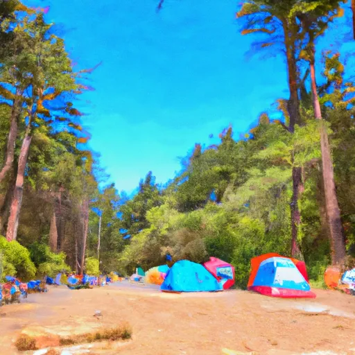
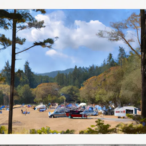
Area Campgrounds
| Location | Reservations | Toilets |
|---|---|---|
 Hudson - Parcher County Park
|
||
 Louis Rasmussen RV Park
|
||
 Seaquest State Park
|
||
 Seaquest State Park Campground
|
||
 Yurt Village
|
||
 Clatskanie City Park
|
 Castle Lake Nr Mount St Helens Nr Spirit Lake
 Lake Scanewa Near Kosmos
 Ocean Beach Highway 6105, Longview
River Runs
-
 Headwaters In Sw1/4 Sec 28, T9N, R5E To Mount St. Helens National Volcanic Monument Boundary
-
 Nw1/4 Of Sec 9, T5N, R6E To Ne1/4 Of Sec 6, T5N, R5E
-
 Mount St. Helens National Volcanic Monument Boundary To Mount St. Helens National Volcanic Boundary In Sw 1/4 Of Sec 32, T11N, R5E
-
 Headwaters In Sw 1/4 Of Sec 8, T4N, R6E To Gifford Pinchot Nf Boundary
-
 Mount St. Helens National Volcanic Monument Boundary To To Point River Reenters Mshnvm In Se 1/4 Of Sec 11, T10N, R5E
-
 (Upper Muddy Segment) Headwaters In Se1/4 Of Sec 10, T8N, R5E To Conflence With Smith Creek