


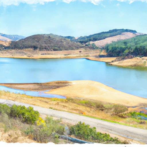
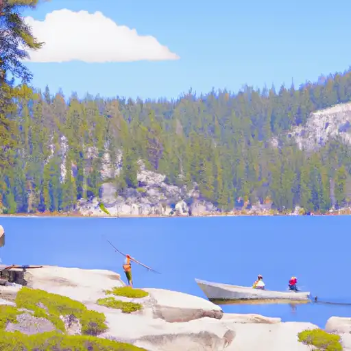
Donnells Reservoir Report
Last Updated: May 3, 2026
°F
°F
mph
Wind
%
Humidity
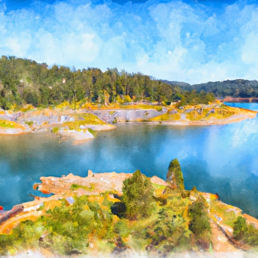
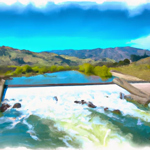
Donnells Dam, located in Sonora, California, on the Middle Fork Stanislaus River, is a concrete structure designed by the George E.
Summary
Goodall Co. and completed in 1958. It serves primarily for hydroelectric purposes, with a dam height of 317 feet and a storage capacity of 65,000 acre-feet. The dam has a controlled spillway with a width of 175 feet and five Tainter (radial) outlet gates.
Managed by the Federal Energy Regulatory Commission (FERC), Donnells Dam is regulated and inspected to ensure its safety and functionality. With a high hazard potential and a very high risk assessment rating, the dam is closely monitored for any potential risks or hazards. While the condition assessment is currently not available, emergency action plans are in place, and the dam meets regulatory guidelines for safety and operation.
As a key structure in flood risk reduction and hydroelectric power generation, Donnells Dam plays a crucial role in water resource management in the area. Its strategic location in Tuolumne County, California, highlights its importance in ensuring water supply and energy generation for the region. With its impressive design and critical functions, Donnells Dam continues to be a focal point for water resource and climate enthusiasts interested in sustainable infrastructure and environmental stewardship.
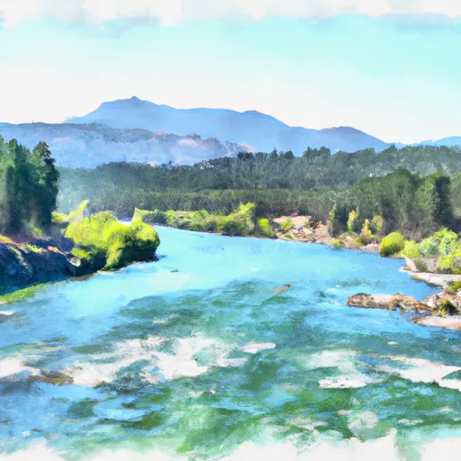
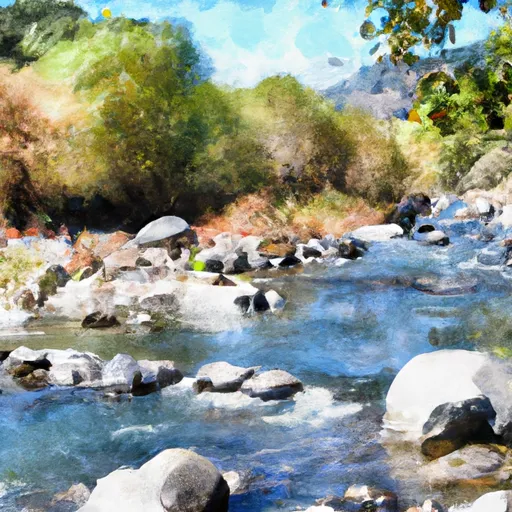
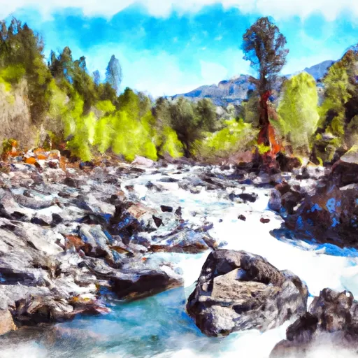
Regional Streamflow Levels

15-Day Long Term Forecast
Year Completed |
1958 |
Dam Length |
750 |
Dam Height |
317 |
River Or Stream |
Middle Fork Stanislaus River |
Primary Dam Type |
Concrete |
Surface Area |
418 |
Hydraulic Height |
310 |
Drainage Area |
226 |
Nid Storage |
65000 |
Structural Height |
317 |
Outlet Gates |
Tainter (radial) - 5 |
Hazard Potential |
High |
Foundations |
Rock |
Nid Height |
317 |
Seasonal Comparison
5-Day Hourly Forecast Detail
Dam Data Reference
Condition Assessment
SatisfactoryNo existing or potential dam safety deficiencies are recognized. Acceptable performance is expected under all loading conditions (static, hydrologic, seismic) in accordance with the minimum applicable state or federal regulatory criteria or tolerable risk guidelines.
Fair
No existing dam safety deficiencies are recognized for normal operating conditions. Rare or extreme hydrologic and/or seismic events may result in a dam safety deficiency. Risk may be in the range to take further action. Note: Rare or extreme event is defined by the regulatory agency based on their minimum
Poor A dam safety deficiency is recognized for normal operating conditions which may realistically occur. Remedial action is necessary. POOR may also be used when uncertainties exist as to critical analysis parameters which identify a potential dam safety deficiency. Investigations and studies are necessary.
Unsatisfactory
A dam safety deficiency is recognized that requires immediate or emergency remedial action for problem resolution.
Not Rated
The dam has not been inspected, is not under state or federal jurisdiction, or has been inspected but, for whatever reason, has not been rated.
Not Available
Dams for which the condition assessment is restricted to approved government users.
Hazard Potential Classification
HighDams assigned the high hazard potential classification are those where failure or mis-operation will probably cause loss of human life.
Significant
Dams assigned the significant hazard potential classification are those dams where failure or mis-operation results in no probable loss of human life but can cause economic loss, environment damage, disruption of lifeline facilities, or impact other concerns. Significant hazard potential classification dams are often located in predominantly rural or agricultural areas but could be in areas with population and significant infrastructure.
Low
Dams assigned the low hazard potential classification are those where failure or mis-operation results in no probable loss of human life and low economic and/or environmental losses. Losses are principally limited to the owner's property.
Undetermined
Dams for which a downstream hazard potential has not been designated or is not provided.
Not Available
Dams for which the downstream hazard potential is restricted to approved government users.
Area Campgrounds
| Location | Reservations | Toilets |
|---|---|---|
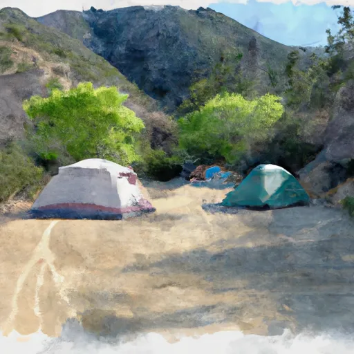 Mill Creek Campground
|
||
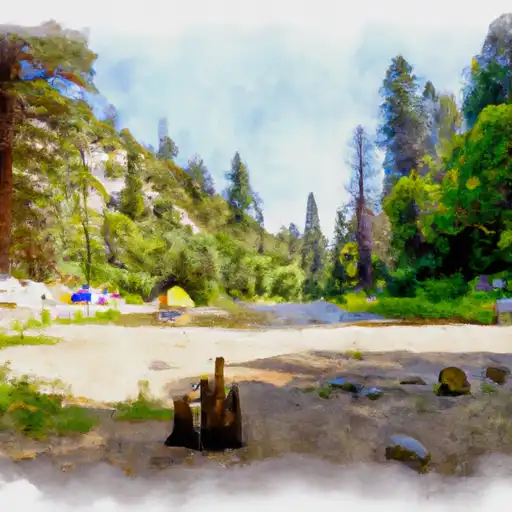
 Niagara Creek Campground
|
||
 Niagra Creek
|
||
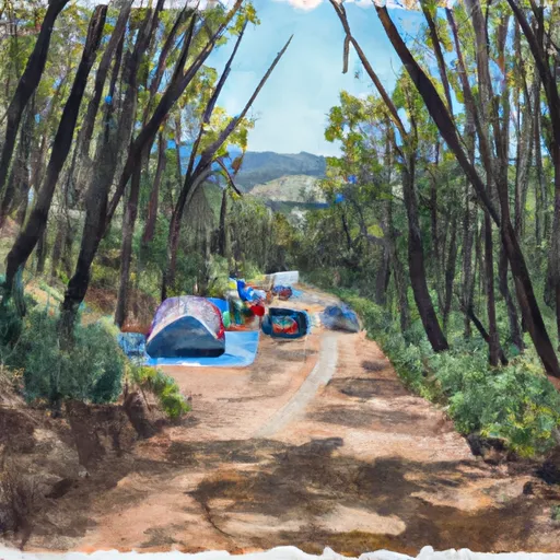 Cascade Creek Campground
|
||
 Cascade Creek
|
||
 Spicer Reservoir Group Campground
|
 Donnell Lk Nr Dardanelle Ca
 Donnells
 New Spicer Meadow
 Utica Reservoir
 Strawberry
 Lake Alpine Reservoir
 Amador County
 Indian Creek Camp Ground Day Use Area
River Runs
-
 Confluence With Clark Fork To Donnell Reservoir
-
 State Highway 108 To Donnell Reservoir
-
 Bell Creek Headwaters To One-Tenth Mile Upstream Of Crabtree Trailhead
-
 One-Tenth Mile Upstream Of Crabtree Trailhead To 0.15 Mile Downstream Of Road 4N26B
-
 Relief Reservoir Outlet To Confluence With Clark Fork
-
 Wilderness Boundary To Confluence With Middle Fork Stanislaus
 Highland Creek
 Pinecrest Lake
 Highland Lakes
 Lewis Lakes
 Buck Lakes