


Malone Lake Reservoir Report
Last Updated: May 6, 2026
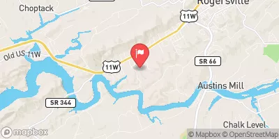
Nearby: Rolling G Dam Lakeview Estates
°F
°F
mph
Wind
%
Humidity
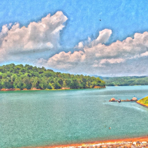
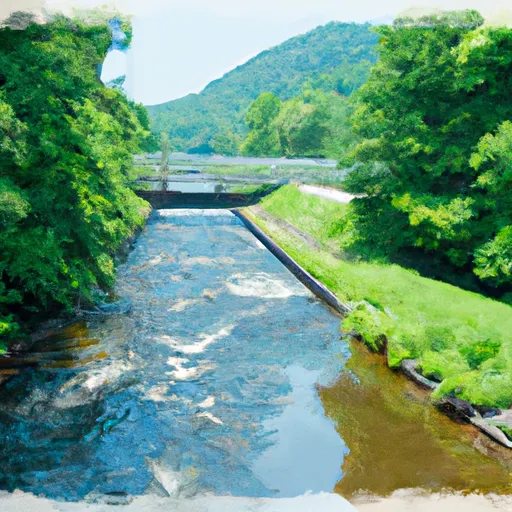
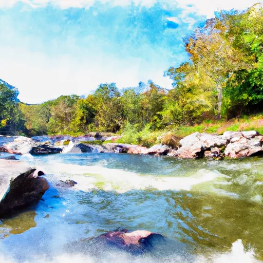
Malone Lake, located in Greene County, Tennessee, is a privately-owned earth dam structure built in 1960 on Lick Creek.
Summary
The lake has a hydraulic height of 24.1 feet and a structural height of 26.6 feet, with a maximum storage capacity of 34 acre-feet and a normal storage of 27 acre-feet. Covering an area of 2.8 acres with a drainage area of 0.13 square miles, the lake serves as a reservoir for water resource management in the region.
With a low hazard potential and a moderate risk assessment rating, Malone Lake has not been inspected since March 2018 and is currently not rated for condition assessment. The lake features an uncontrolled spillway type and does not have outlet gates. Despite not being state regulated or permitted, the lake's risk management measures are not specified, suggesting a need for further evaluation and potential improvements to its emergency action plan and guidelines. Water resource and climate enthusiasts interested in the management and conservation of small dams like Malone Lake may find opportunities to contribute to its sustainable operation and maintenance.
Regional Streamflow Levels
15-Day Long Term Forecast
Year Completed |
1960 |
Dam Length |
145 |
River Or Stream |
LICK CREEK |
Primary Dam Type |
Earth |
Surface Area |
2.8 |
Hydraulic Height |
24.1 |
Drainage Area |
0.13 |
Nid Storage |
34 |
Structural Height |
26.6 |
Outlet Gates |
None |
Hazard Potential |
Low |
Nid Height |
27 |
Seasonal Comparison
5-Day Hourly Forecast Detail
Dam Data Reference
Condition Assessment
SatisfactoryNo existing or potential dam safety deficiencies are recognized. Acceptable performance is expected under all loading conditions (static, hydrologic, seismic) in accordance with the minimum applicable state or federal regulatory criteria or tolerable risk guidelines.
Fair
No existing dam safety deficiencies are recognized for normal operating conditions. Rare or extreme hydrologic and/or seismic events may result in a dam safety deficiency. Risk may be in the range to take further action. Note: Rare or extreme event is defined by the regulatory agency based on their minimum
Poor A dam safety deficiency is recognized for normal operating conditions which may realistically occur. Remedial action is necessary. POOR may also be used when uncertainties exist as to critical analysis parameters which identify a potential dam safety deficiency. Investigations and studies are necessary.
Unsatisfactory
A dam safety deficiency is recognized that requires immediate or emergency remedial action for problem resolution.
Not Rated
The dam has not been inspected, is not under state or federal jurisdiction, or has been inspected but, for whatever reason, has not been rated.
Not Available
Dams for which the condition assessment is restricted to approved government users.
Hazard Potential Classification
HighDams assigned the high hazard potential classification are those where failure or mis-operation will probably cause loss of human life.
Significant
Dams assigned the significant hazard potential classification are those dams where failure or mis-operation results in no probable loss of human life but can cause economic loss, environment damage, disruption of lifeline facilities, or impact other concerns. Significant hazard potential classification dams are often located in predominantly rural or agricultural areas but could be in areas with population and significant infrastructure.
Low
Dams assigned the low hazard potential classification are those where failure or mis-operation results in no probable loss of human life and low economic and/or environmental losses. Losses are principally limited to the owner's property.
Undetermined
Dams for which a downstream hazard potential has not been designated or is not provided.
Not Available
Dams for which the downstream hazard potential is restricted to approved government users.
Area Campgrounds
| Location | Reservations | Toilets |
|---|---|---|
 Kinser Park
|
||
 Davy Crockett Birthplace
|
||
 Old Forge Campground
|
||
 Old Forge
|
||
 Old Forge Recreation Area
|
||
 Horse Creek Recreation Area
|
 Martins Fork Lk At Martins Fk Dam Nr Smith
 T V A Road, Rogersville
River Runs
-
 Tn/Nc State Line (Rm 100.6) To Mine Branch (Rm 99.3)
-
 Boundary Between Mitchell And Yancy Counties To Nc/Tn Stateline
-
 Headwaters To Alternative Route 58
-
 Fs Route 700 To Confluence With Clinch River
-
 Confluence With Guest River To Confluence With Little Stony Creek
-
 Watauga Reservoir To Tn/Nc State Line
 Moses Turn
 Allen Branch Pond
 Nolichucky River
 Big Pine Creek
 Anderson Branch