Savannah Rvr At Stevens Creek Dam Nr Morgana Reservoir Report
Last Updated: February 23, 2026
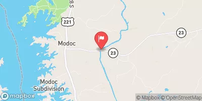
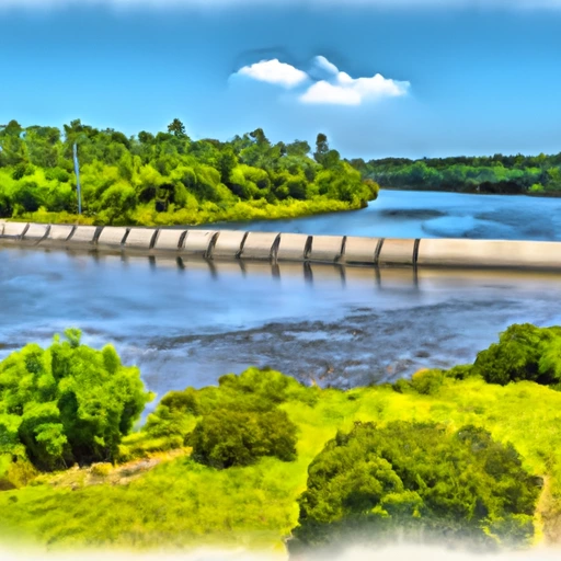
Savannah River at Stevens Creek Dam in Morgana, South Carolina, has a rich history dating back to the early 1800s when the first dam was constructed to power a textile mill.
Summary
The dam has since been rebuilt multiple times, with the current structure completed in 1943. The hydrology of the river is closely monitored by the USGS and provides important data for flood control and water management. Specific surface flow and snowpack providers also contribute to the water levels and quality of the river. The area surrounding the river has historically been used for agriculture, and the dam provides recreational opportunities for fishing, boating, and hiking.
°F
°F
mph
Wind
%
Humidity
15-Day Weather Outlook
Reservoir Details
| Elevation Of Reservoir Water Surface Above Datum, Ft 24hr Change | 0.35% |
| Percent of Normal | 100% |
| Minimum |
171.34 ft
2022-12-27 |
| Maximum |
189.19 ft
2016-01-02 |
| Average | 186 ft |
| Dam_Height | 37 |
| Hydraulic_Height | 30 |
| Drainage_Area | 7173 |
| Year_Completed | 1914 |
| Nid_Storage | 9300 |
| Structural_Height | 48 |
| River_Or_Stream | Savannah |
| Foundations | Rock |
| Surface_Area | 2200 |
| Hazard_Potential | High |
| Dam_Length | 2630 |
| Primary_Dam_Type | Gravity |
| Nid_Height | 48 |
Seasonal Comparison
Elevation Of Reservoir Water Surface Above Datum, Ft Levels
5-Day Hourly Forecast Detail
Nearby Streamflow Levels
 Augusta Canal Nr Augusta (Upper)
|
1500cfs |
 Butler Creek Below 7th Avenue
|
12cfs |
 Stevens Creek Near Modoc
|
210cfs |
 Spirit Creek At Us 1
|
16cfs |
 Savannah River At Augusta
|
4870cfs |
 Mctier Creek (Rd 209) Near Monetta
|
15cfs |
Dam Data Reference
Condition Assessment
SatisfactoryNo existing or potential dam safety deficiencies are recognized. Acceptable performance is expected under all loading conditions (static, hydrologic, seismic) in accordance with the minimum applicable state or federal regulatory criteria or tolerable risk guidelines.
Fair
No existing dam safety deficiencies are recognized for normal operating conditions. Rare or extreme hydrologic and/or seismic events may result in a dam safety deficiency. Risk may be in the range to take further action. Note: Rare or extreme event is defined by the regulatory agency based on their minimum
Poor A dam safety deficiency is recognized for normal operating conditions which may realistically occur. Remedial action is necessary. POOR may also be used when uncertainties exist as to critical analysis parameters which identify a potential dam safety deficiency. Investigations and studies are necessary.
Unsatisfactory
A dam safety deficiency is recognized that requires immediate or emergency remedial action for problem resolution.
Not Rated
The dam has not been inspected, is not under state or federal jurisdiction, or has been inspected but, for whatever reason, has not been rated.
Not Available
Dams for which the condition assessment is restricted to approved government users.
Hazard Potential Classification
HighDams assigned the high hazard potential classification are those where failure or mis-operation will probably cause loss of human life.
Significant
Dams assigned the significant hazard potential classification are those dams where failure or mis-operation results in no probable loss of human life but can cause economic loss, environment damage, disruption of lifeline facilities, or impact other concerns. Significant hazard potential classification dams are often located in predominantly rural or agricultural areas but could be in areas with population and significant infrastructure.
Low
Dams assigned the low hazard potential classification are those where failure or mis-operation results in no probable loss of human life and low economic and/or environmental losses. Losses are principally limited to the owner's property.
Undetermined
Dams for which a downstream hazard potential has not been designated or is not provided.
Not Available
Dams for which the downstream hazard potential is restricted to approved government users.

 Stevens Creek
 Savannah Rvr At Stevens Creek Dam Nr Morgana
 Butler Creek Reservoir At Fort Gordon
 McCormick County
 Steven'S Creek Crossing Sc Highway 21 To Steven'S Creek Crossing Sc Highway 88