Harding Lake Dam Dam

Harding Lake Dam
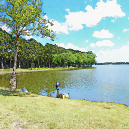
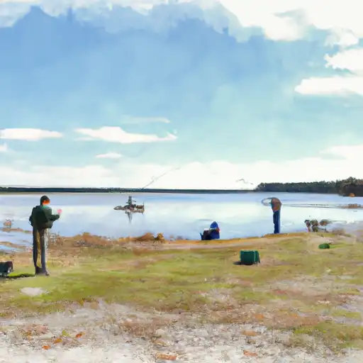
Harding Lake Dam, located in Freestone, Texas, was completed in 1964 and serves multiple purposes, including fire protection, livestock watering, and recreational activities. Designed by the USDA NRCS, this earth dam stands at a height of 16.1 feet and has a length of 540 feet. The dam's reservoir has a normal storage capacity of 80 acre-feet and covers a surface area of 15.8 acres, drawing water from the Jelly Slough water source.
Managed by a private owner and regulated by the Texas Commission on Environmental Quality (TCEQ), Harding Lake Dam has been assessed as being in fair condition with a moderate risk level. The dam has one uncontrolled outlet gate and a spillway width of 3 feet. While the hazard potential is not available, the dam is subject to periodic inspections every five years, with the last assessment conducted in October 2014. The dam's risk management measures and emergency action plan status remain unspecified, highlighting potential areas for improvement in ensuring the safety and resilience of this water resource infrastructure.
Overall, Harding Lake Dam represents a vital component of water management and climate resilience efforts in the region. With its diverse range of uses and regulatory oversight, the dam plays a crucial role in safeguarding downstream communities from flooding and providing essential water resources for various activities. As interest in sustainable water management and climate adaptation grows, continued monitoring and maintenance of Harding Lake Dam will be essential to ensure its long-term functionality and safety for both current and future generations.
Plan around the weather
Same NOAA / yr.no feed Snoflo's iOS app uses. Watch the precipitation column on the meteogram -- rain on the basin upstream typically lifts inflow 24-72 hours later.
Next 5 days, hour by hour
Temperature line with weather symbols on top, snow + rain accumulation as columns, humidity as a dotted line.
5-day forecast table
Every 3 hours, broken out across temperature, snow, rain, humidity, and wind. Each cell is colour-coded relative to the column min/max.
| Time | Condition | Temp (°F) | Snow (in) | Rain (in) | Humidity (%) | Wind (mps) | Wind dir |
|---|---|---|---|---|---|---|---|
| Loading detailed forecast… | |||||||
15-day temperature & precipitation
Daily temperatures, snow, and rain projected over the next two weeks.
Nearby streamflow gauges
USGS streamgauges around Harding Lake Dam -- inflows here typically show up in storage 24-72 hours later.
| Streamgauge | Discharge | View |
|---|---|---|
| Upper Keechi Ck Nr Oakwood | 70 cfs | → |
| Trinity Rv Nr Oakwood | 5,940 cfs | → |
| Trinity Rv At Hwy 287 Nr Cayuga | 2,910 cfs | → |
| Tehuacana Ck Nr Streetman | 0 cfs | → |
| Big Ck Nr Freestone | 30 cfs | → |
| Trinity Rv Nr Crockett | 5,980 cfs | → |


About Harding Lake Dam
Where does the data for Harding Lake Dam come from?
Structural and regulatory data come from the U.S. Army Corps of Engineers' National Inventory of Dams (NID). Weather forecast comes from NOAA / yr.no -- the same feed Snoflo's iOS app uses.
How often is the report updated?
NID structural data refreshes annually as the Corps publishes updated assessments. The weather forecast refreshes throughout the day.
What does the Not Available hazard rating mean?
The Corps of Engineers' hazard potential classification grades probable consequences if the dam fails: High = probable loss of human life; Significant = no probable loss of human life but possible economic loss / environmental damage; Low = no probable loss of human life, only minor economic / environmental losses. See the Dam Data Reference card below for the full definitions.
What's "% of normal"?
The current storage value compared to the historical average storage on this calendar day. 100% = right on average; values above 100% mean above-normal storage (wet year); values below mean below-normal (dry year or drought).
Can I get alerts when storage crosses a threshold?
Yes -- alerts are managed in the Snoflo iOS app. Favorite this dam, set a threshold, and you'll get a push the moment conditions cross.
Dam data reference
Condition Assessment
- Satisfactory
- No existing or potential dam safety deficiencies are recognized. Acceptable performance is expected under all loading conditions (static, hydrologic, seismic) in accordance with the minimum applicable state or federal regulatory criteria or tolerable risk guidelines.
- Fair
- No existing dam safety deficiencies are recognized for normal operating conditions. Rare or extreme hydrologic and/or seismic events may result in a dam safety deficiency. Risk may be in the range to take further action.
- Poor
- A dam safety deficiency is recognized for normal operating conditions which may realistically occur. Remedial action is necessary. POOR may also be used when uncertainties exist as to critical analysis parameters which identify a potential dam safety deficiency.
- Unsatisfactory
- A dam safety deficiency is recognized that requires immediate or emergency remedial action for problem resolution.
- Not Rated
- The dam has not been inspected, is not under state or federal jurisdiction, or has been inspected but, for whatever reason, has not been rated.
Hazard Potential Classification
- High
- Dams assigned the high hazard potential classification are those where failure or mis-operation will probably cause loss of human life.
- Significant
- Dams assigned the significant hazard potential classification are those dams where failure or mis-operation results in no probable loss of human life but can cause economic loss, environmental damage, disruption of lifeline facilities, or impact other concerns. Significant hazard potential classification dams are often located in predominantly rural or agricultural areas but could be in areas with population and significant infrastructure.
- Low
- Dams assigned the low hazard potential classification are those where failure or mis-operation results in no probable loss of human life and low economic and/or environmental losses. Losses are principally limited to the owner's property.
- Undetermined
- Dams for which a downstream hazard potential has not been designated or is not provided.