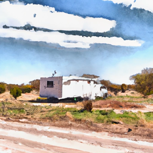
White Rv Res Nr Spur Reservoir Report
Last Updated: February 12, 2026
White RV Reservoir is a man-made lake located near Spur, Texas.
Summary
It was created in the 1950s to provide a water supply for the residents of Dickens County. The lake is fed by White River and is a popular spot for fishing and recreational activities. The hydrology of the reservoir is largely dependent on precipitation and surface runoff from the surrounding area. There are no specific surface flow or snowpack providers in the area. The reservoir is also used for agricultural purposes, primarily for irrigation. Additionally, the lake is managed by the City of Spur and is used for recreational activities such as boating and camping. Overall, White RV Reservoir serves as an important source of water and recreation for the local community.
°F
°F
mph
Wind
%
Humidity
15-Day Weather Outlook
Reservoir Details
| Lake Or Reservoir Water Surface Elevation Above Ngvd 1929, Ft 24hr Change | 0.0% |
| Percent of Normal | 100% |
| Minimum |
2,336.67 ft
2014-05-23 |
| Maximum |
2,357.77 ft
2015-07-15 |
| Average | 2,349 ft |
| Dam_Height | 80 |
| Hydraulic_Height | 80 |
| Drainage_Area | 172 |
| Years_Modified | 1973 - Hydraulic, 2009 - Hydraulic |
| Year_Completed | 1963 |
| Nid_Storage | 71590 |
| Structural_Height | 85 |
| Foundations | Soil |
| Surface_Area | 1477 |
| Outlet_Gates | Other Controlled - 2, Uncontrolled - 2, Valve - 3 |
| River_Or_Stream | WHITE RIVER |
| Dam_Length | 4400 |
| Hazard_Potential | Not Available |
| Primary_Dam_Type | Earth |
| Nid_Height | 85 |
Seasonal Comparison
Precipitation, Total, In Levels
Lake Or Reservoir Water Surface Elevation Above Ngvd 1929, Ft Levels
5-Day Hourly Forecast Detail
Nearby Streamflow Levels
Dam Data Reference
Condition Assessment
SatisfactoryNo existing or potential dam safety deficiencies are recognized. Acceptable performance is expected under all loading conditions (static, hydrologic, seismic) in accordance with the minimum applicable state or federal regulatory criteria or tolerable risk guidelines.
Fair
No existing dam safety deficiencies are recognized for normal operating conditions. Rare or extreme hydrologic and/or seismic events may result in a dam safety deficiency. Risk may be in the range to take further action. Note: Rare or extreme event is defined by the regulatory agency based on their minimum
Poor A dam safety deficiency is recognized for normal operating conditions which may realistically occur. Remedial action is necessary. POOR may also be used when uncertainties exist as to critical analysis parameters which identify a potential dam safety deficiency. Investigations and studies are necessary.
Unsatisfactory
A dam safety deficiency is recognized that requires immediate or emergency remedial action for problem resolution.
Not Rated
The dam has not been inspected, is not under state or federal jurisdiction, or has been inspected but, for whatever reason, has not been rated.
Not Available
Dams for which the condition assessment is restricted to approved government users.
Hazard Potential Classification
HighDams assigned the high hazard potential classification are those where failure or mis-operation will probably cause loss of human life.
Significant
Dams assigned the significant hazard potential classification are those dams where failure or mis-operation results in no probable loss of human life but can cause economic loss, environment damage, disruption of lifeline facilities, or impact other concerns. Significant hazard potential classification dams are often located in predominantly rural or agricultural areas but could be in areas with population and significant infrastructure.
Low
Dams assigned the low hazard potential classification are those where failure or mis-operation results in no probable loss of human life and low economic and/or environmental losses. Losses are principally limited to the owner's property.
Undetermined
Dams for which a downstream hazard potential has not been designated or is not provided.
Not Available
Dams for which the downstream hazard potential is restricted to approved government users.


 White River Dam
 White Rv Res Nr Spur