Hyrum Reservoir Reservoir
As of July 18, 2026, Hyrum Reservoir is holding 8,492 acre-ft of water — 59% of normal storage for this date. Storage data refreshed throughout the day.

Hyrum Reservoir
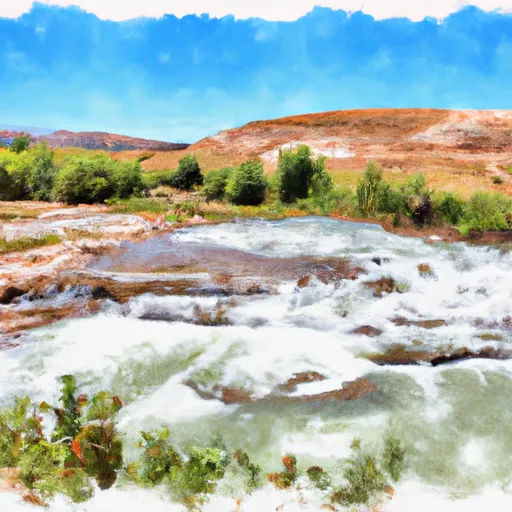
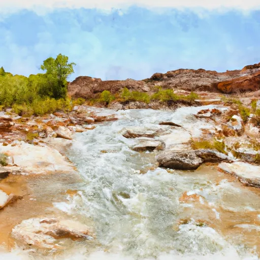
Hyrum Reservoir is located in Cache County in Utah and was constructed in 1935 as part of the Civilian Conservation Corps program. The reservoir has a capacity of 14,000 acre-feet and is primarily used for irrigation purposes in the Cache Valley. The hydrology of the reservoir is primarily fed by the Little Bear River, which is a tributary of the Bear River. The Little Bear River is a snowmelt-dominated stream and the reservoir receives a significant amount of its water supply from snowpack in the surrounding mountains. The reservoir is also popular for recreational activities such as fishing, boating, and camping, and is stocked with rainbow trout, bluegill, and channel catfish. Additionally, the reservoir supports several agricultural activities, including the cultivation of hay, barley, and corn.
Daily levels at Hyrum Reservoir
Storage volume, pool elevation, and total release plotted from the operating agency's daily observations.
Storage
acre-ft · code 17
Inflow
cfs · code 29
Pool Elevation
ft · code 49
Total Release
cfs · code 42
Plan around the weather
Same NOAA / yr.no feed Snoflo's iOS app uses. Watch the precipitation column on the meteogram -- rain on the basin upstream typically lifts inflow 24-72 hours later.
Next 5 days, hour by hour
Temperature line with weather symbols on top, snow + rain accumulation as columns, humidity as a dotted line.
5-day forecast table
Every 3 hours, broken out across temperature, snow, rain, humidity, and wind. Each cell is colour-coded relative to the column min/max.
| Time | Condition | Temp (°F) | Snow (in) | Rain (in) | Humidity (%) | Wind (mps) | Wind dir |
|---|---|---|---|---|---|---|---|
| Loading detailed forecast… | |||||||
15-day temperature & precipitation
Daily temperatures, snow, and rain projected over the next two weeks.
Nearby streamflow gauges
USGS streamgauges around Hyrum Reservoir -- inflows here typically show up in storage 24-72 hours later.
| Streamgauge | Discharge | View |
|---|---|---|
| Little Bear River At Paradise | 20 cfs | → |
| Blacksmith Fork Ab U.P.&L. Co | 56 cfs | → |
| Logan River Above State Dam | 98 cfs | → |
| Logan | 74 cfs | → |
| Bear River Near Corinne | 141 cfs | → |
| Ogden River Bl Pineview Res Near Huntsville | 248 cfs | → |


About Hyrum Reservoir
Where does the data for Hyrum Reservoir come from?
Daily storage, pool elevation, and release rates are sourced from USGS, USBR, and USACE monitoring stations. Weather forecast comes from NOAA / yr.no -- the same feed Snoflo's iOS app uses.
How often is the report updated?
Storage observations are updated daily by the operating agency. The 15-day weather forecast refreshes throughout the day. Snoflo caches and renders the most recent observation -- check the "as of" timestamp on the storage card.
What does the Hazard hazard rating mean?
The Corps of Engineers' hazard potential classification grades probable consequences if the dam fails: High = probable loss of human life; Significant = no probable loss of human life but possible economic loss / environmental damage; Low = no probable loss of human life, only minor economic / environmental losses. See the Dam Data Reference card below for the full definitions.
What's "% of normal"?
The current storage value compared to the historical average storage on this calendar day. 100% = right on average; values above 100% mean above-normal storage (wet year); values below mean below-normal (dry year or drought).
Can I get alerts when storage crosses a threshold?
Yes -- alerts are managed in the Snoflo iOS app. Favorite this reservoir, set a threshold, and you'll get a push the moment conditions cross.