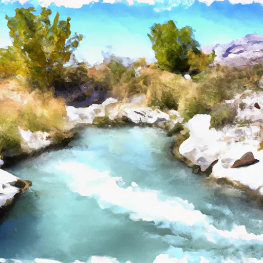
Lost Lake Reservoir
As of July 20, 2026, Lost Lake is holding 1,090 acre-ft of water — 107% of normal storage for this date. Storage data refreshed throughout the day.

Lost Lake
Lost Lake is a high-altitude lake located in the Uinta Mountains of Utah. The lake is primarily fed by snowpack, which melts in the spring and summer months. Lost Lake is part of the Provo River watershed and provides water to the Provo River, which is a vital source of irrigation water for agricultural use in the region. The lake also supports recreational activities, such as fishing and camping. Lost Lake is part of the High Uintas Wilderness Area and has a rich history, with evidence of human habitation dating back over 10,000 years. The lake was named by early settlers in the area who believed it was a "lost" lake due to its hidden location. Despite its remote location, the lake is popular among outdoor enthusiasts and provides important ecosystem services to the surrounding area.
Daily levels at Lost Lake
Storage volume, pool elevation, and total release plotted from the operating agency's daily observations.
Storage
acre-ft · code 17
Inflow
cfs · code 29
Pool Elevation
ft · code 49
Total Release
cfs · code 42
Plan around the weather
Same NOAA / yr.no feed Snoflo's iOS app uses. Watch the precipitation column on the meteogram -- rain on the basin upstream typically lifts inflow 24-72 hours later.
Next 5 days, hour by hour
Temperature line with weather symbols on top, snow + rain accumulation as columns, humidity as a dotted line.
5-day forecast table
Every 3 hours, broken out across temperature, snow, rain, humidity, and wind. Each cell is colour-coded relative to the column min/max.
| Time | Condition | Temp (°F) | Snow (in) | Rain (in) | Humidity (%) | Wind (mps) | Wind dir |
|---|---|---|---|---|---|---|---|
| Loading detailed forecast… | |||||||
15-day temperature & precipitation
Daily temperatures, snow, and rain projected over the next two weeks.
Nearby streamflow gauges
USGS streamgauges around Lost Lake -- inflows here typically show up in storage 24-72 hours later.
| Streamgauge | Discharge | View |
|---|---|---|
| Provo River Near Woodland | 71 cfs | → |
| Weber River Near Oakley | 99 cfs | → |
| Bear River Near Utah-Wyoming State Line | 90 cfs | → |
| Provo River Near Hailstone | 26 cfs | → |
| Lake Fork River Ab Moon Lake | 73 cfs | → |
| Rock Creek Near Mountain Home | 90 cfs | → |


About Lost Lake
Where does the data for Lost Lake come from?
Daily storage, pool elevation, and release rates are sourced from USGS, USBR, and USACE monitoring stations. Weather forecast comes from NOAA / yr.no -- the same feed Snoflo's iOS app uses.
How often is the report updated?
Storage observations are updated daily by the operating agency. The 15-day weather forecast refreshes throughout the day. Snoflo caches and renders the most recent observation -- check the "as of" timestamp on the storage card.
What does the Hazard hazard rating mean?
The Corps of Engineers' hazard potential classification grades probable consequences if the dam fails: High = probable loss of human life; Significant = no probable loss of human life but possible economic loss / environmental damage; Low = no probable loss of human life, only minor economic / environmental losses. See the Dam Data Reference card below for the full definitions.
What's "% of normal"?
The current storage value compared to the historical average storage on this calendar day. 100% = right on average; values above 100% mean above-normal storage (wet year); values below mean below-normal (dry year or drought).
Can I get alerts when storage crosses a threshold?
Yes -- alerts are managed in the Snoflo iOS app. Favorite this reservoir, set a threshold, and you'll get a push the moment conditions cross.