Moccasin Lake Reservoir Report
Nearby: Wigwam Chepeta Lake
Last Updated: February 10, 2026
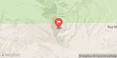
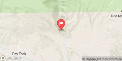
Moccasin Lake, located in Whiterocks, Utah, is a private water resource managed by the Utah Division of Water Rights.
Summary
Built in 1923, this Earth dam serves primarily for irrigation purposes and stands at a height of 15 feet with a hydraulic height of 12 feet. The lake has a storage capacity of 113 acre-feet, with a normal storage level of 90 acre-feet, and it is situated along the Whiterocks River in Duchesne County.
Although Moccasin Lake has a low hazard potential and is currently not rated for its condition assessment, it undergoes regular inspections every five years to ensure its safety and functionality. The last inspection took place in July 2003. Despite its age, the dam remains a crucial component for irrigation in the area, providing water for agricultural activities in the region. With its historical significance and vital role in local water management, Moccasin Lake serves as a testament to the enduring importance of water resources in sustaining communities and ecosystems amidst changing climates.
°F
°F
mph
Wind
%
Humidity
15-Day Weather Outlook
Year Completed |
1923 |
Dam Length |
797 |
River Or Stream |
WHITEROCKS RIVER |
Primary Dam Type |
Earth |
Hydraulic Height |
12 |
Drainage Area |
1.3 |
Nid Storage |
113 |
Structural Height |
15 |
Hazard Potential |
Low |
Nid Height |
15 |
Seasonal Comparison
5-Day Hourly Forecast Detail
Nearby Streamflow Levels
Dam Data Reference
Condition Assessment
SatisfactoryNo existing or potential dam safety deficiencies are recognized. Acceptable performance is expected under all loading conditions (static, hydrologic, seismic) in accordance with the minimum applicable state or federal regulatory criteria or tolerable risk guidelines.
Fair
No existing dam safety deficiencies are recognized for normal operating conditions. Rare or extreme hydrologic and/or seismic events may result in a dam safety deficiency. Risk may be in the range to take further action. Note: Rare or extreme event is defined by the regulatory agency based on their minimum
Poor A dam safety deficiency is recognized for normal operating conditions which may realistically occur. Remedial action is necessary. POOR may also be used when uncertainties exist as to critical analysis parameters which identify a potential dam safety deficiency. Investigations and studies are necessary.
Unsatisfactory
A dam safety deficiency is recognized that requires immediate or emergency remedial action for problem resolution.
Not Rated
The dam has not been inspected, is not under state or federal jurisdiction, or has been inspected but, for whatever reason, has not been rated.
Not Available
Dams for which the condition assessment is restricted to approved government users.
Hazard Potential Classification
HighDams assigned the high hazard potential classification are those where failure or mis-operation will probably cause loss of human life.
Significant
Dams assigned the significant hazard potential classification are those dams where failure or mis-operation results in no probable loss of human life but can cause economic loss, environment damage, disruption of lifeline facilities, or impact other concerns. Significant hazard potential classification dams are often located in predominantly rural or agricultural areas but could be in areas with population and significant infrastructure.
Low
Dams assigned the low hazard potential classification are those where failure or mis-operation results in no probable loss of human life and low economic and/or environmental losses. Losses are principally limited to the owner's property.
Undetermined
Dams for which a downstream hazard potential has not been designated or is not provided.
Not Available
Dams for which the downstream hazard potential is restricted to approved government users.
Area Campgrounds
| Location | Reservations | Toilets |
|---|---|---|
 Spirit Lake Campground
|
||
 Pole Creek Lake Campground
|
||
 Paradise Guard Station
|
||
 Hoop Lake
|
||
 Hoop Lake Campground
|
||
 Browne Lake Campground
|


 Moccasin Lake
 Source To Hoop Lake Diversion
 Kabell Lake
 Burnt Fork
 Long Park Boat Launch Area
 Hoop Lake
 Browne Reservoir