Summary
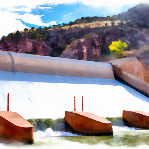
Cedar Springs Boating Ramp is located in northeastern Utah, specifically in the Ashley National Forest in Uintah County. It is a concrete boat ramp that provides access to Flaming Gorge Reservoir, which is a popular destination for recreational boating, fishing, and camping.
According to the latest information available, Cedar Springs Boating Ramp is approximately 12 feet wide and can accommodate boats up to 30 feet in length. The ramp has a gentle slope and is suitable for launching and retrieving a variety of watercraft, including fishing boats, pontoon boats, kayaks, and jet skis.
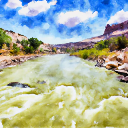
Flaming Gorge Reservoir is a large body of water that covers over 42,000 acres and has a maximum depth of 400 feet. The reservoir is known for its clear blue waters and abundant fish populations, including kokanee salmon, rainbow trout, and smallmouth bass.
Visitors to Cedar Springs Boating Ramp and Flaming Gorge Reservoir should be aware of the local regulations and guidelines for watercraft use, including speed limits, safety equipment requirements, and fishing licenses. It's always a good idea to check for the latest information and updates before heading out to enjoy this beautiful area.
°F
°F
mph
Wind
%
Humidity

 Cedar Springs Boating Ramp
 The Forest Service Spillway Boat Ramp Below Flaming Gorge Dam To The Bureau Of Land Management Boat Ramp At Indian Crossing
 A Section
 Upper Green River
 B Section