Utah Lake Reservoir
As of July 21, 2026, Utah Lake is holding 564,174 acre-ft of water — 77% of normal storage for this date. Storage data refreshed throughout the day.

Utah Lake
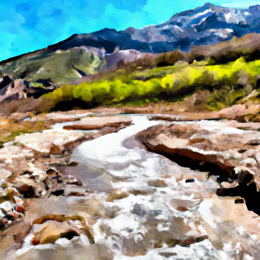
Utah Lake is the largest freshwater lake in Utah, covering an area of about 148 square miles. The lake has a rich history dating back to the Native Americans who inhabited the region. The hydrology of Utah Lake is unique, as it is fed by several rivers and streams, including Provo River, Spanish Fork River, and Hobble Creek. The lake also receives water from snowpack in the surrounding mountains, with the spring snowmelt resulting in high flows into the lake.
The lake is crucial for agriculture in the Utah Valley region, with water from the lake used for irrigation of crops such as alfalfa and fruit trees. It is also a popular recreational spot, with activities such as fishing, boating, and swimming enjoyed by locals and tourists. However, the lake has faced challenges in recent years with pollution and invasive species such as carp and quagga mussels impacting the ecosystem. Efforts are being made to address these issues and preserve the lake for future generations.
Daily levels at Utah Lake
Storage volume, pool elevation, and total release plotted from the operating agency's daily observations.
Storage
acre-ft · code 17
Pool Elevation
ft · code 49
Water surface elevation
feet · code 4
Plan around the weather
Same NOAA / yr.no feed Snoflo's iOS app uses. Watch the precipitation column on the meteogram -- rain on the basin upstream typically lifts inflow 24-72 hours later.
Next 5 days, hour by hour
Temperature line with weather symbols on top, snow + rain accumulation as columns, humidity as a dotted line.
5-day forecast table
Every 3 hours, broken out across temperature, snow, rain, humidity, and wind. Each cell is colour-coded relative to the column min/max.
| Time | Condition | Temp (°F) | Snow (in) | Rain (in) | Humidity (%) | Wind (mps) | Wind dir |
|---|---|---|---|---|---|---|---|
| Loading detailed forecast… | |||||||
15-day temperature & precipitation
Daily temperatures, snow, and rain projected over the next two weeks.
Nearby streamflow gauges
USGS streamgauges around Utah Lake -- inflows here typically show up in storage 24-72 hours later.
| Streamgauge | Discharge | View |
|---|---|---|
| West Canyon Creek Near Cedar Fort | 1 cfs | → |
| American Fk Ab Upper Powerplant Nr American Fk | 23 cfs | → |
| Provo River At Provo | 32 cfs | → |
| Hobble Creek At 1650 West At Springville | 18 cfs | → |
| Little Cottonwood Creek @ Jordan River Nr Slc | 7 cfs | → |
| Daniels Creek At Charleston | · | → |
Make a day of it
Boat launches, lakeside camping, fishing access, and other reservoirs near Utah Lake.
Boat launches
See all →


Campgrounds
See all →


Fishing spots
See all →


River runs
See all →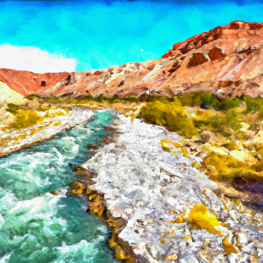


About Utah Lake
Where does the data for Utah Lake come from?
Daily storage, pool elevation, and release rates are sourced from USGS, USBR, and USACE monitoring stations. Weather forecast comes from NOAA / yr.no -- the same feed Snoflo's iOS app uses.
How often is the report updated?
Storage observations are updated daily by the operating agency. The 15-day weather forecast refreshes throughout the day. Snoflo caches and renders the most recent observation -- check the "as of" timestamp on the storage card.
What does the Hazard hazard rating mean?
The Corps of Engineers' hazard potential classification grades probable consequences if the dam fails: High = probable loss of human life; Significant = no probable loss of human life but possible economic loss / environmental damage; Low = no probable loss of human life, only minor economic / environmental losses. See the Dam Data Reference card below for the full definitions.
What's "% of normal"?
The current storage value compared to the historical average storage on this calendar day. 100% = right on average; values above 100% mean above-normal storage (wet year); values below mean below-normal (dry year or drought).
Can I get alerts when storage crosses a threshold?
Yes -- alerts are managed in the Snoflo iOS app. Favorite this reservoir, set a threshold, and you'll get a push the moment conditions cross.