The Fish Pond Reservoir Report
Nearby: Newbury Water Supply (Lower) Fenn Dam
Last Updated: February 23, 2026
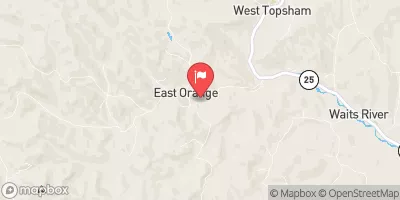
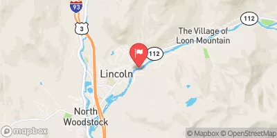
The Fish Pond, located in Orange, Vermont, is a private recreational water resource managed by the USDA NRCS.
Summary
Built in 1973, this earth dam stands at 19 feet high and spans 210 feet in length, creating a surface area of 5 acres for outdoor enthusiasts to enjoy. The dam's primary purpose is for recreational activities, and it is regulated and inspected by the Vermont Department of Environmental Conservation, ensuring its safety and compliance with state standards.
With a storage capacity of 70 acre-feet, The Fish Pond serves as a significant water source in the area, drawing from a drainage area of 0.47 square miles. While the dam is rated as having a moderate risk level, its hazard potential is considered significant, highlighting the importance of regular inspections and risk management measures. The dam features an uncontrolled spillway and has not been rated for its current condition, indicating a need for ongoing monitoring and maintenance to ensure its long-term stability and safety for both the local community and the environment.
The Fish Pond's location along the Connecticut River provides a picturesque setting for outdoor activities, attracting visitors to its tranquil waters and scenic surroundings. Managed by the Natural Resources Conservation Service, this recreational water resource offers a peaceful retreat for fishing, boating, and wildlife watching, contributing to the region's natural beauty and biodiversity. As a vital part of the local ecosystem, The Fish Pond showcases the importance of sustainable water resource management and climate resilience in preserving the area's environmental health and recreational opportunities for future generations.
°F
°F
mph
Wind
%
Humidity
15-Day Weather Outlook
Year Completed |
1973 |
Dam Length |
210 |
Dam Height |
19 |
River Or Stream |
CONNECTICUT RIVER-TR |
Primary Dam Type |
Earth |
Surface Area |
5 |
Hydraulic Height |
19 |
Drainage Area |
0.47 |
Nid Storage |
70 |
Structural Height |
19 |
Hazard Potential |
Significant |
Foundations |
Soil |
Nid Height |
19 |
Seasonal Comparison
5-Day Hourly Forecast Detail
Nearby Streamflow Levels
Dam Data Reference
Condition Assessment
SatisfactoryNo existing or potential dam safety deficiencies are recognized. Acceptable performance is expected under all loading conditions (static, hydrologic, seismic) in accordance with the minimum applicable state or federal regulatory criteria or tolerable risk guidelines.
Fair
No existing dam safety deficiencies are recognized for normal operating conditions. Rare or extreme hydrologic and/or seismic events may result in a dam safety deficiency. Risk may be in the range to take further action. Note: Rare or extreme event is defined by the regulatory agency based on their minimum
Poor A dam safety deficiency is recognized for normal operating conditions which may realistically occur. Remedial action is necessary. POOR may also be used when uncertainties exist as to critical analysis parameters which identify a potential dam safety deficiency. Investigations and studies are necessary.
Unsatisfactory
A dam safety deficiency is recognized that requires immediate or emergency remedial action for problem resolution.
Not Rated
The dam has not been inspected, is not under state or federal jurisdiction, or has been inspected but, for whatever reason, has not been rated.
Not Available
Dams for which the condition assessment is restricted to approved government users.
Hazard Potential Classification
HighDams assigned the high hazard potential classification are those where failure or mis-operation will probably cause loss of human life.
Significant
Dams assigned the significant hazard potential classification are those dams where failure or mis-operation results in no probable loss of human life but can cause economic loss, environment damage, disruption of lifeline facilities, or impact other concerns. Significant hazard potential classification dams are often located in predominantly rural or agricultural areas but could be in areas with population and significant infrastructure.
Low
Dams assigned the low hazard potential classification are those where failure or mis-operation results in no probable loss of human life and low economic and/or environmental losses. Losses are principally limited to the owner's property.
Undetermined
Dams for which a downstream hazard potential has not been designated or is not provided.
Not Available
Dams for which the downstream hazard potential is restricted to approved government users.
Area Campgrounds
| Location | Reservations | Toilets |
|---|---|---|
 Harkdale Farm Campsite
|
||
 Bugbee Landing Campsite
|
||
 Underhill Campsite
|
||
 Jeffers Brook Shelter
|


 The Fish Pond
 French Pond boat launch