Carey Reservoir Report
Nearby: Fellows Comtu Falls
Last Updated: February 25, 2026
Carey is a privately owned Earth-type dam located in Springfield, Vermont, along the Black River.
Summary
Built in 1968 with a height of 26 feet and a length of 136 feet, it serves primarily for recreational purposes. The dam has a storage capacity of 35 acre-feet and a drainage area of 0.28 square miles. Despite being classified as having a significant hazard potential, its condition was assessed as fair during the last inspection in September 2017.
Managed by the USDA NRCS and regulated by the Vermont Department of Environmental Conservation, Carey is subject to state permitting, inspection, and enforcement. Although it has an uncontrolled spillway type, the dam has not been modified in recent years, and there are no outlet gates or associated structures. With a risk assessment rating of moderate, there is a need for ongoing risk management measures to ensure the safety and integrity of the dam. Overall, Carey presents an intriguing case study for water resource and climate enthusiasts interested in the intersection of dam infrastructure and environmental conservation in Vermont.
°F
°F
mph
Wind
%
Humidity
15-Day Weather Outlook
Year Completed |
1968 |
Dam Length |
136 |
Dam Height |
26 |
River Or Stream |
BLACK RIVER-TR |
Primary Dam Type |
Earth |
Surface Area |
3 |
Hydraulic Height |
26 |
Drainage Area |
0.28 |
Nid Storage |
35 |
Structural Height |
26 |
Hazard Potential |
Significant |
Foundations |
Soil |
Nid Height |
26 |
Seasonal Comparison
5-Day Hourly Forecast Detail
Nearby Streamflow Levels
 Black River At North Springfield
|
175cfs |
 Williams River Near Rockingham Vt
|
78cfs |
 Sugar River At West Claremont
|
276cfs |
 Saxtons River At Saxtons River
|
19cfs |
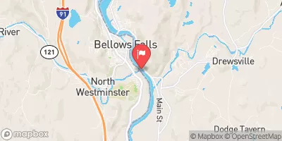 Connecticut River At North Walpole
|
2310cfs |
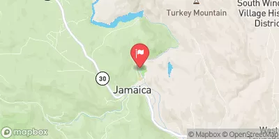 West River At Jamaica
|
463cfs |
Dam Data Reference
Condition Assessment
SatisfactoryNo existing or potential dam safety deficiencies are recognized. Acceptable performance is expected under all loading conditions (static, hydrologic, seismic) in accordance with the minimum applicable state or federal regulatory criteria or tolerable risk guidelines.
Fair
No existing dam safety deficiencies are recognized for normal operating conditions. Rare or extreme hydrologic and/or seismic events may result in a dam safety deficiency. Risk may be in the range to take further action. Note: Rare or extreme event is defined by the regulatory agency based on their minimum
Poor A dam safety deficiency is recognized for normal operating conditions which may realistically occur. Remedial action is necessary. POOR may also be used when uncertainties exist as to critical analysis parameters which identify a potential dam safety deficiency. Investigations and studies are necessary.
Unsatisfactory
A dam safety deficiency is recognized that requires immediate or emergency remedial action for problem resolution.
Not Rated
The dam has not been inspected, is not under state or federal jurisdiction, or has been inspected but, for whatever reason, has not been rated.
Not Available
Dams for which the condition assessment is restricted to approved government users.
Hazard Potential Classification
HighDams assigned the high hazard potential classification are those where failure or mis-operation will probably cause loss of human life.
Significant
Dams assigned the significant hazard potential classification are those dams where failure or mis-operation results in no probable loss of human life but can cause economic loss, environment damage, disruption of lifeline facilities, or impact other concerns. Significant hazard potential classification dams are often located in predominantly rural or agricultural areas but could be in areas with population and significant infrastructure.
Low
Dams assigned the low hazard potential classification are those where failure or mis-operation results in no probable loss of human life and low economic and/or environmental losses. Losses are principally limited to the owner's property.
Undetermined
Dams for which a downstream hazard potential has not been designated or is not provided.
Not Available
Dams for which the downstream hazard potential is restricted to approved government users.
Area Campgrounds
| Location | Reservations | Toilets |
|---|---|---|
 Tree Farm Campground
|
||
 Ascutney Mt Stone Hut
|
||
 Horseshoe Acres Campground
|
||
 Mt. Ascutney State Park
|

 Carey
Carey