


Brands Reservoir Report
Last Updated: May 10, 2026
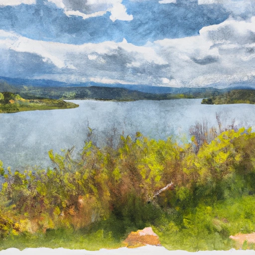
Nearby: Lake John Lake John Annex
°F
°F
mph
Wind
%
Humidity
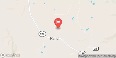
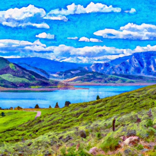
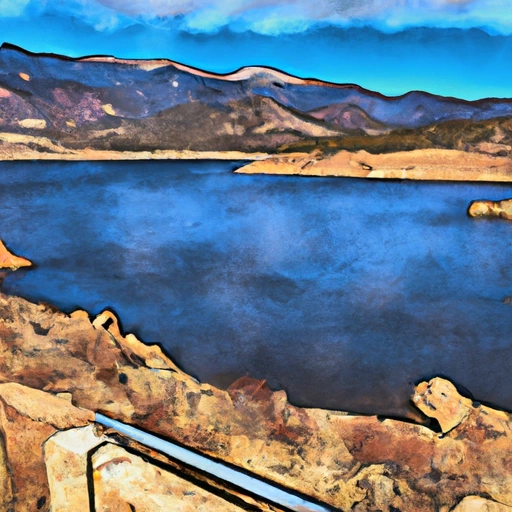
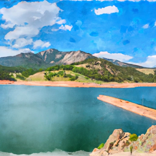
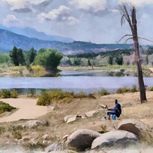
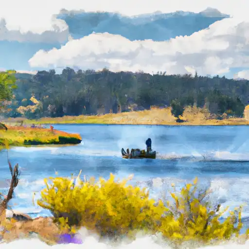
Brands, located in Cowdrey, Colorado, is a private water resource with a primary purpose of fire protection, stock, or small fish pond irrigation.
Summary
The dam, completed in 1949, is an earth-type structure standing at 13 feet tall and spanning 400 feet in length. It has a storage capacity of 63 acre-feet and serves a drainage area of 2 square miles. Despite its low hazard potential, Brands poses a high risk due to its condition assessment being "Not Rated" and its last inspection dating back to August 1979.
The North Fork of the North Platte River feeds into Brands, providing water for various uses within the community. The dam's location in Jackson County, Colorado, under the jurisdiction of the Department of Water Resources, highlights the importance of maintaining the structure for water conservation and fire protection purposes. Given the risk assessment of "High (2)," it is crucial for stakeholders to prioritize regular inspections and potential upgrades to ensure the safety and efficiency of Brands for both water resource and climate enthusiasts in the region.
As climate change continues to impact water resources and infrastructure, the resilience and sustainability of dams like Brands become paramount. With its key role in fire protection and irrigation, maintaining the structural integrity of Brands is essential for the community's safety and water management. By addressing the risk assessment and implementing necessary risk management measures, Brands can continue to serve as a vital resource for the surrounding area while adapting to the evolving climate challenges facing water resources in Colorado.
Regional Streamflow Levels
15-Day Long Term Forecast
Year Completed |
1949 |
Dam Length |
400 |
Dam Height |
13 |
River Or Stream |
N FK NORTH PLATTE-OS |
Primary Dam Type |
Earth |
Surface Area |
5 |
Hydraulic Height |
13 |
Drainage Area |
2 |
Nid Storage |
63 |
Structural Height |
13 |
Hazard Potential |
Low |
Nid Height |
13 |
Seasonal Comparison
5-Day Hourly Forecast Detail
Dam Data Reference
Condition Assessment
SatisfactoryNo existing or potential dam safety deficiencies are recognized. Acceptable performance is expected under all loading conditions (static, hydrologic, seismic) in accordance with the minimum applicable state or federal regulatory criteria or tolerable risk guidelines.
Fair
No existing dam safety deficiencies are recognized for normal operating conditions. Rare or extreme hydrologic and/or seismic events may result in a dam safety deficiency. Risk may be in the range to take further action. Note: Rare or extreme event is defined by the regulatory agency based on their minimum
Poor A dam safety deficiency is recognized for normal operating conditions which may realistically occur. Remedial action is necessary. POOR may also be used when uncertainties exist as to critical analysis parameters which identify a potential dam safety deficiency. Investigations and studies are necessary.
Unsatisfactory
A dam safety deficiency is recognized that requires immediate or emergency remedial action for problem resolution.
Not Rated
The dam has not been inspected, is not under state or federal jurisdiction, or has been inspected but, for whatever reason, has not been rated.
Not Available
Dams for which the condition assessment is restricted to approved government users.
Hazard Potential Classification
HighDams assigned the high hazard potential classification are those where failure or mis-operation will probably cause loss of human life.
Significant
Dams assigned the significant hazard potential classification are those dams where failure or mis-operation results in no probable loss of human life but can cause economic loss, environment damage, disruption of lifeline facilities, or impact other concerns. Significant hazard potential classification dams are often located in predominantly rural or agricultural areas but could be in areas with population and significant infrastructure.
Low
Dams assigned the low hazard potential classification are those where failure or mis-operation results in no probable loss of human life and low economic and/or environmental losses. Losses are principally limited to the owner's property.
Undetermined
Dams for which a downstream hazard potential has not been designated or is not provided.
Not Available
Dams for which the downstream hazard potential is restricted to approved government users.
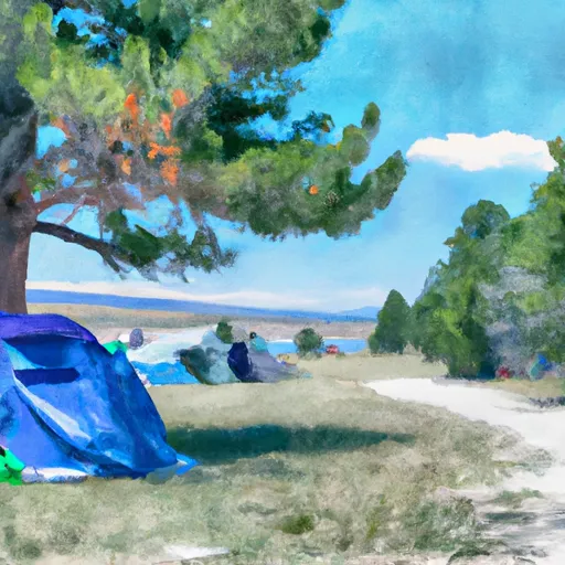
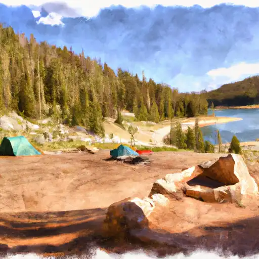
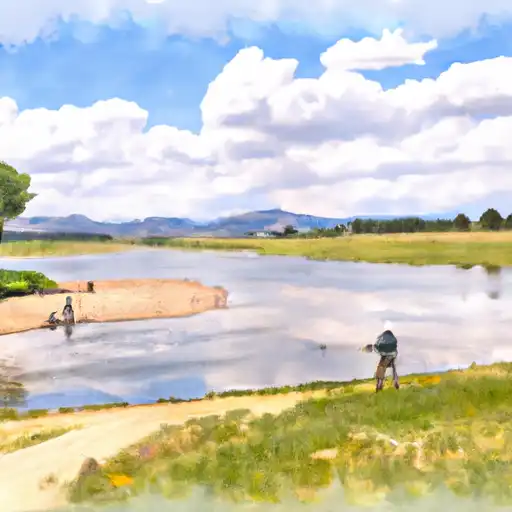
Area Campgrounds
| Location | Reservations | Toilets |
|---|---|---|
 Sheep Mountain Rec Area
|
||
 Cowdrey Lake Rec Site
|
||
 Big Creek Lakes
|
||
 Big Creek Lakes Campground
|
||
 Teal Lake
|
||
 Teal Lake Group Site
|
 Wolford Mtn Reservoir Nr Kremmling
 Shadow Mountain Reservoir
 Grand Lake
 Willow Creek Reservoir
 Granby Reservoir
 Cowdrey Lake Rec Site Boat Ramp
 Cowdrey Lake Rec Site Boat Dock
 Teal Lake Boating Site
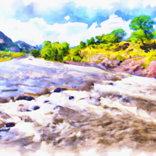
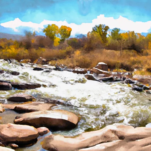
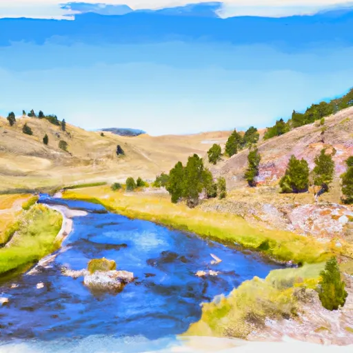
River Runs
-
 Roaring Fork (West Section Line Sec 28 T9N, R82W); Red Canyon (Nw1/4 Sec 5, T8N, R82W) To East Section Line Sec 34, T9N, R82W
-
 Headwaters Of North, Middle And South Forks To Confluence Of South Fork With Encampment River
-
 South Sec Line, Sec 2, T11N, R80W To Co/Wy Stateline
-
 Northgate Canyon
-
 Big Creek
-
 Wy-Co State Line To Encampment River Wilderness Boundary
 North Delaney
 East Delaney
 South Delaney
 South Delaney Lake
 South Delaney Butte Lake