


Summary
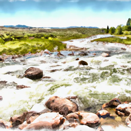
This gravity dam, primarily used for flood risk reduction, stands at a structural height of 47 feet with a hydraulic height of 39 feet. With a storage capacity of 277.3 acre-feet and a surface area of 17.93 acres, the dam plays a crucial role in managing water flow in the region.
Despite its low hazard potential, the South Side Detention Dam currently has a poor condition assessment and is in need of maintenance. The last inspection conducted in August 2020 revealed the dam's deteriorating state, prompting concerns about its long-term effectiveness. With an inspection frequency of 5 years and a moderate risk level assigned, there is a pressing need for rehabilitation efforts to ensure the dam's continued functionality and safety for the surrounding community.
As a key player in flood risk reduction in the area, the South Side Detention Dam serves as a vital infrastructure piece in the region's water resource management. With its historical significance and importance in safeguarding against potential flooding events, it is essential that proper maintenance and rehabilitation measures are implemented to uphold the dam's integrity and protect the local environment and communities from water-related risks.
Regional Streamflow Levels
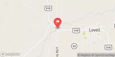 Shoshone River Near Lovell
|
351cfs |
 Clarks Fork Yellowstone River Nr Belfry Mt
|
686cfs |
 Bighorn River At Kane
|
1060cfs |
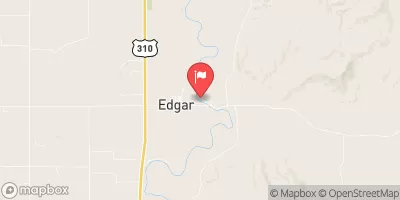 Clarks Fork Yellowstone River At Edgar Mt
|
895cfs |
 Bighorn River Near St. Xavier
|
1670cfs |
 Rock Creek Near Red Lodge Mt
|
55cfs |
15-Day Long Term Forecast
Dam Length |
711 |
Primary Dam Type |
Gravity |
Surface Area |
17.93 |
Hydraulic Height |
39 |
Drainage Area |
6.7 |
Nid Storage |
277.3 |
Structural Height |
47 |
Hazard Potential |
Low |
Foundations |
Soil |
Nid Height |
47 |
Seasonal Comparison
5-Day Hourly Forecast Detail
Dam Data Reference
Condition Assessment
SatisfactoryNo existing or potential dam safety deficiencies are recognized. Acceptable performance is expected under all loading conditions (static, hydrologic, seismic) in accordance with the minimum applicable state or federal regulatory criteria or tolerable risk guidelines.
Fair
No existing dam safety deficiencies are recognized for normal operating conditions. Rare or extreme hydrologic and/or seismic events may result in a dam safety deficiency. Risk may be in the range to take further action. Note: Rare or extreme event is defined by the regulatory agency based on their minimum
Poor A dam safety deficiency is recognized for normal operating conditions which may realistically occur. Remedial action is necessary. POOR may also be used when uncertainties exist as to critical analysis parameters which identify a potential dam safety deficiency. Investigations and studies are necessary.
Unsatisfactory
A dam safety deficiency is recognized that requires immediate or emergency remedial action for problem resolution.
Not Rated
The dam has not been inspected, is not under state or federal jurisdiction, or has been inspected but, for whatever reason, has not been rated.
Not Available
Dams for which the condition assessment is restricted to approved government users.
Hazard Potential Classification
HighDams assigned the high hazard potential classification are those where failure or mis-operation will probably cause loss of human life.
Significant
Dams assigned the significant hazard potential classification are those dams where failure or mis-operation results in no probable loss of human life but can cause economic loss, environment damage, disruption of lifeline facilities, or impact other concerns. Significant hazard potential classification dams are often located in predominantly rural or agricultural areas but could be in areas with population and significant infrastructure.
Low
Dams assigned the low hazard potential classification are those where failure or mis-operation results in no probable loss of human life and low economic and/or environmental losses. Losses are principally limited to the owner's property.
Undetermined
Dams for which a downstream hazard potential has not been designated or is not provided.
Not Available
Dams for which the downstream hazard potential is restricted to approved government users.
 Bear Creek
 Piney Creek
 Gypsum Creek
 Crooked Creek