Summary
Total streamflow across the
North Umpqua River
was last observed at
1,358
cfs, and is expected to yield approximately
2,694
acre-ft of water today; about 28%
of normal.
River levels are low and may signify a drought.
Average streamflow for this time of year is
4,911 cfs,
with recent peaks last observed
on
2014-12-22 when daily discharge volume was observed at
54,930 cfs.
Maximum discharge along the river is currently at the
North Umpqua River At Winchester
reporting a streamflow rate of 1,320 cfs.
However, the streamgauge with the highest stage along the river is the
North Umpqua River At Toketee Falls Oreg.
with a gauge stage of 3.05 ft.
This river is monitored from 2 different streamgauging stations along the North Umpqua River, the highest being situated at an altitude of 2,393 ft, the
North Umpqua River At Toketee Falls Oreg..
15-Day Weather Outlook
River Details
| Last Updated | 2026-02-07 |
| Discharge Volume | 2,694 ACRE-FT |
| Streamflow |
1,358.4 cfs
-1.3 cfs (-0.1%) |
| Percent of Normal | 27.66% |
| Maximum |
54,930.0 cfs
2014-12-22 |
| Seasonal Avg | 4,911 cfs |
River Streamflow Levels
| Streamgauge | Streamflow | Gauge Stage | 24hr Change (%) | % Normal | Minimum (cfs) | Maximum (cfs) | Air Temp | Elevation |
|---|---|---|---|---|---|---|---|---|
|
North Umpqua River At Toketee Falls Oreg.
USGS 14315500 |
70 cfs | 3.05 ft | -1.87 | |||||
|
North Umpqua River At Winchester
USGS 14319500 |
1320 cfs | 2.42 ft | 0 |
Seasonal Discharge Comparison
Maximum Streamflow Discharge
Streamflow Elevation Profile
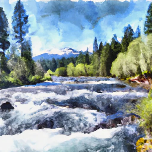
The North Umpqua River is a tributary of the Umpqua River, about 106 miles (171 km) long, in southwestern Oregon in the United States. It drains a scenic and rugged area of the Cascade Range southeast of Eugene, flowing through steep canyons and surrounded by large Douglas-fir forests. Renowned for its emerald green waters, it is considered one of the best fly fishing streams in the Pacific Northwest for anadromous fish.

 Lemolo Lake To Oregon Cacades Recreation Area Boundary
 Oregon Cascades Recreation Area Boundary To Mt. Thielsen Wilderness Boundary
 Mt. Thielsen Wilderness Boundary To Maidu Lake