
Alpine Meadows Ski Area Ski Report
Last Updated: May 12, 2026
4.6/5 (2)Nearby: Squaw Valley Granlibakken Ski Resort
°F
°F
mph
Wind
%
Humidity
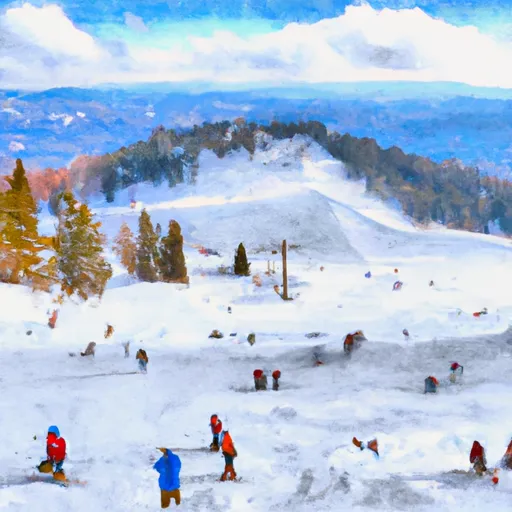
Alpine Meadows Ski Area is a popular ski resort located in California, USA.
Summary
No new snow to report today, with snowpack levels sitting at 0.0". Weather today, sunny, with a high near 73. southwest wind 5 to 15 mph, with gusts as high as 30 mph.
15-Day Snow Forecast
Snowfall Accumulations
5-Day Hourly Forecast Detail
Seasonal Comparison
Year over year snow water equivalent
Snow Water Equivalent (SWE) shows how much water the snow holds. This is ideal for year-to-year tracking of real snowfall and water resources. Measurements from Ward Creek #3.
Regional Snowpack Depth
Snow levels measured from Ward Creek #3
Snowpack depth measures how much snow has accumulated in the area. This is a key indicator of powder quality, trail coverage, and how epic your runs are going to be this season at Alpine Meadows Ski Area.
Historical Air Temperature
Temperature fluctuations at Alpine Meadows Ski Area
Recent air temperature fluctuations at Alpine Meadows Ski Area impact snow quality and stability, from powder to slush.
About this Location
The Alpine Meadows Ski Area is located in the Sierra Nevada mountain range in California. Some of the pertinent mountain ranges and aspects of the ski resort include:
1. Sierra Nevada Range: The ski resort is situated within the Sierra Nevada mountain range, which spans across California and Nevada.
2. Granite Chief Wilderness: The ski resort is located near the Granite Chief Wilderness, a designated wilderness area within the Tahoe National Forest.
3. Alpine Meadows Peak: The ski resort's highest point is Alpine Meadows Peak, which reaches an elevation of 8,637 feet.
4. Pacific Crest Trail: The famous Pacific Crest Trail runs near Alpine Meadows Ski Area, providing opportunities for hiking and backcountry skiing.
5. Lake Tahoe: The ski resort is located near the shores of Lake Tahoe, offering stunning views of the lake and surrounding mountains.
Overall, Alpine Meadows Ski Area is surrounded by beautiful mountain ranges, wilderness areas, and natural landscapes, making it a popular destination for outdoor enthusiasts.
The resort boasts over 100 trails, with the best trails being Scott Chair, Lakeview, Sherwood, and Kangaroo. Few people know that Alpine Meadows was the first ski resort to permit snowboarding in California, and it has since become a popular destination for snowboarders. For beginners, the resort offers the Subway and Meadow Chairlifts, which provide access to gentle runs perfect for learning. After a day on the slopes, the best apres ski bar is the Alpine Bar, which offers live music, drinks, and a cozy atmosphere. Overall, Alpine Meadows Ski Area is a must-visit destination for skiers and snowboarders of all levels.
Alpine Meadows Ski Area FAQ
Where does our Alpine Meadows Ski Area snow data come from?
This snow report combines on-mountain observations, regional SNOTEL sensors, and weather model data specific to Alpine Meadows Ski Area and the surrounding region.
How much snow did Alpine Meadows Ski Area receive over the past day?
The ski area received 0" of new snowfall since yesterday.
What's the weather like at Alpine Meadows Ski Area today?
Weather today, sunny, with a high near 73. southwest wind 5 to 15 mph, with gusts as high as 30 mph.
What are some ski resorts near Alpine Meadows Ski Area?
Squaw Valley
Granlibakken Ski Resort
Homewood Mountain Resort
Northstar

 Mosquito Ridge Rd, California
 Burton Creek State Park
 Granite Chief Wilderness
 Donner Memorial State Park
 Ed Z'berg Sugar Pine Point State Park
 West End Beach Park
 Continue with Snoflo Premium