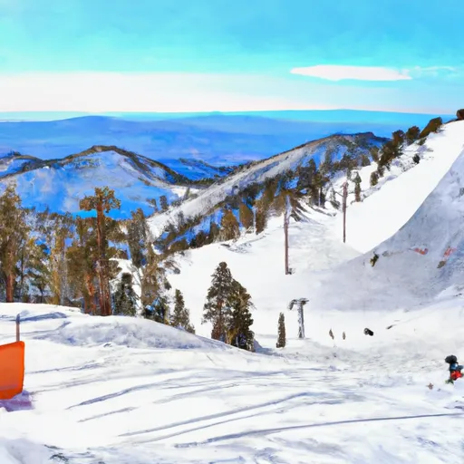
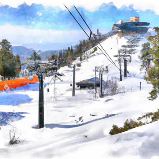
California ski areas
Live snowfall, snowpack depth, and 5-day forecasts at every California ski + snowboard area, with per-resort interactive weather meteograms.
Snow enthusiasts looking for meaningful accumulations should turn their attention northward to Alaska's Brooks Range, where a potent weather system is poised to deliver the nation's most substantial snowfall over the next 48 hours. While the Lower 48 has experienced only modest activity—with Sawmill Ridge in Washington's Cascades and Vallecito in Colorado's San Juan Mountains each recording 2 inches over the past 24 hours—the real story is unfolding along Alaska's remote Dalton Highway corridor, where forecasters are predicting impressive totals amid challenging conditions.
Imnaviat Creek, situated at 68.6°N in the central Brooks Range, leads the forecast with an expected 6 inches of new snow accompanied by rain/snow mix and persistent fog that will create hazardous visibility. Just 35 miles south, Atigun Pass—the highest highway pass in Alaska at 4,739 feet—is tracking for 4 inches with particularly treacherous freezing fog conditions transitioning to scattered snow showers. These totals are remarkable for early-season accumulation and represent some of the most significant snowfall predicted anywhere in the nation. Even Prudhoe Bay on the Arctic Coast, typically too cold and dry for substantial precipitation, could see 2 inches as the system pushes northward toward the Beaufort Sea.
The contrast between regions is striking: Washington's Sawmill Ridge sits at a robust 170-inch base depth despite minimal recent activity, while Colorado's Vallecito maintains just 3 inches—a concerning disparity for snow researchers monitoring seasonal patterns. Both locations face thunderstorm activity rather than pure snow events, with mixed precipitation limiting accumulation potential. For backcountry enthusiasts and researchers seeking the most dynamic snowfall conditions, Alaska's Brooks Range offers the most compelling opportunity, though accessibility remains challenging along the isolated Dalton Highway. The incoming system's moisture-laden character, combined with subfreezing temperatures at elevation, creates ideal conditions for heavy, wet snow that could significantly impact the region's early winter snowpack development. Those monitoring arctic weather patterns should pay close attention to this event as a potential harbinger of an active northern season.
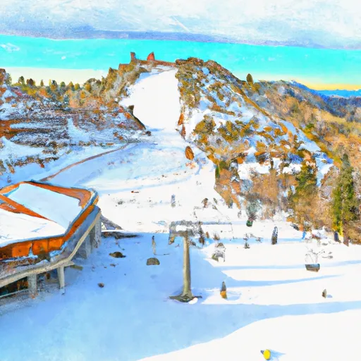
California ski areas
Every California ski area Snoflo tracks. Sortable by any column. Tap a resort name for the full report; scroll down for per-resort 15-day weather meteograms.
| Ski area | Air temp | Snowfall (24h) | Snowpack | 24h fcst | 72h fcst | 120h fcst |
|---|---|---|---|---|---|---|
| Badger Pass Ski Area | · | 0" | 0" | 0" | 0" | 0" |
| Bear Mountain | 91°F | 0" | 0" | 0" | 0" | 0" |
| Bear Mountain Resort | 91°F | 0" | 0" | 0" | 0" | 0" |
| China Peak (Sierra Summit) | 73°F | 0" | 0" | 0" | 0" | 0" |
| Cuyamaca Peak | 72°F | 0" | 0" | 0" | 0" | 0" |
| Snow Summit Mountain Resort | 91°F | 0" | 0" | 0" | 0" | 0" |
| Snow Valley Ski Resort | · | 0" | 0" | 0" | 0" | 0" |
| Trinity Mountain Resort | · | 0" | 0" | 0" | 0" | 0" |
| Alpine Meadows Ski Area | 59°F | 0" | 0" | 0" | 0" | 0" |
| Bear Valley Mountain Resort | 57°F | 0" | 0" | 0" | 0" | 0" |
| Boreal Mountain Resort | 58°F | 0" | 0" | 0" | 0" | 0" |
| Dodge Ridge Ski Area | 58°F | 0" | 0" | 0" | 0" | 0" |
| Donner Ski Ranch | 58°F | 0" | 0" | 0" | 0" | 0" |
| Granlibakken Ski Resort | 59°F | 0" | 0" | 0" | 0" | 0" |
| Homewood Mountain Resort | 59°F | 0" | 0" | 0" | 0" | 0" |
| June Mountain | 59°F | 0" | 0" | 0" | 0" | 0" |
| Kirkwood | 51°F | 0" | 0" | 0" | 0" | 0" |
| Mammoth Mountain | 59°F | 0" | 0" | 0" | 0" | 0" |
| Northstar | 59°F | 0" | 0" | 0" | 0" | 0" |
| Sierra At Tahoe | 65°F | 0" | 0" | 0" | 0" | 0" |
| Soda Springs | 58°F | 0" | 0" | 0" | 0" | 0" |
| Squaw Valley | 61°F | 0" | 0" | 0" | 0" | 0" |
| Sugar Bowl Resort | 59°F | 0" | 0" | 0" | 0" | 0" |
| Tahoe Donner | 58°F | 0" | 0" | 0" | 0" | 0" |
| Buckhorn Ski Club | · | · | · | 2" | 2" | · |
| Mount Baldy | · | · | · | 2" | 2" | · |
| Mountain High Resort | · | · | · | 2" | 2" | · |
| Mt. Baldy Ski Lifts | · | · | · | 2" | 2" | · |
| Mt. Waterman | · | · | · | 2" | 2" | · |
| Sunrise | · | · | · | 2" | 2" | · |
California ski-area meteograms
Per-resort interactive weather forecasts. Hover any chart for hourly detail across the next 15 days — temperature curve, precipitation bars, weather symbols, and humidity.
-
 Badger Pass Ski Area
→
Badger Pass Ski Area
→
-
 Bear Mountain
→
Bear Mountain
→
-
 Bear Mountain Resort
→
Bear Mountain Resort
→
-
 Bear Valley Mountain Resort
→
Bear Valley Mountain Resort
→
-
 Boreal Mountain Resort
→
Boreal Mountain Resort
→
-
 Buckhorn Ski Club
→
Buckhorn Ski Club
→
-
 China Peak (Sierra Summit)
→
China Peak (Sierra Summit)
→
-
 Cuyamaca Peak
→
Cuyamaca Peak
→
-
 Dodge Ridge Ski Area
→
Dodge Ridge Ski Area
→
-
 Donner Ski Ranch
→
Donner Ski Ranch
→
-
 Granlibakken Ski Resort
→
Granlibakken Ski Resort
→
-
 Homewood Mountain Resort
→
Homewood Mountain Resort
→
-
 June Mountain
→
June Mountain
→
-
 Kirkwood
→
Kirkwood
→
-
 Mammoth Mountain
→
Mammoth Mountain
→
-
 Mount Baldy
→
Mount Baldy
→
-
 Mountain High Resort
→
Mountain High Resort
→
-
 Mt. Baldy Ski Lifts
→
Mt. Baldy Ski Lifts
→
-
 Mt. Waterman
→
Mt. Waterman
→
-
 Northstar
→
Northstar
→
-
 Sierra At Tahoe
→
Sierra At Tahoe
→
-
 Snow Summit Mountain Resort
→
Snow Summit Mountain Resort
→
-
 Snow Valley Ski Resort
→
Snow Valley Ski Resort
→
-
 Soda Springs
→
Soda Springs
→
-
 Squaw Valley
→
Squaw Valley
→
-
 Sugar Bowl Resort
→
Sugar Bowl Resort
→
-
 Sunrise
→
Sunrise
→
-
 Tahoe Donner
→
Tahoe Donner
→
-
 Trinity Mountain Resort
→
Trinity Mountain Resort
→
About California ski conditions
Where do the California ski conditions come from?
Fresh-snow totals are aggregated from resort-side reporting, NOAA's NOHRSC snow analysis grid, and nearby SNOTEL stations. Snowpack and SWE typically come from the closest SNOTEL station to each resort.
What's a meteogram?
A compact 15-day weather chart showing temperature, precipitation, wind, and weather-symbol forecast in one view. It's the same data professional forecasters use, rendered for quick at-a-glance trip planning.
What about backcountry conditions in California?
Always consult your regional avalanche center — resort conditions don't translate to backcountry safety. The U.S. avalanche center directory is at avalanche.org.
Can I get an alert when fresh snow falls at a California resort?
Yes. Save any ski area as a favorite in the Snoflo iOS app, set a fresh-snow threshold, and you'll get a push the moment it crosses. Free with a Snoflo account.