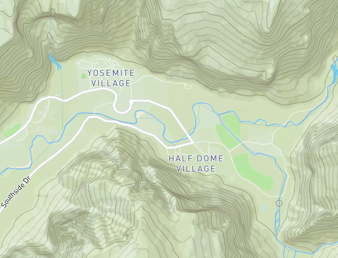
2026-05-08T08:00:00-05:00
* WHAT...Temperatures as low as 32 will result in frost formation. * WHERE...In Minnesota, Chisago and Isanti Counties. In Wisconsin, Barron, Polk, Rusk, Chippewa, Dunn, Eau Claire, Pepin, Pierce, and St. Croix Counties. * WHEN...Until 8 AM CDT Friday. * IMPACTS...Frost could harm sensitive outdoor vegetation. Sensitive outdoor plants may be killed if left uncovered.
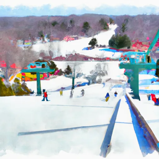
Trollhaugen Ski Area Ski Report
Last Updated: May 7, 2026
Leave a Rating°F
°F
mph
Wind
%
Humidity
Trollhaugen Ski Area in Wisconsin, United States, boasts a variety of beginner and intermediate trails as well as several terrain parks for advanced skiers and snowboarders.
Summary
No new snow to report today, with snowpack levels sitting at 0.0". Weather today, a chance of flurries between 8am and 10am, then a slight chance of rain showers after 10am. partly sunny, with a high near 52. light southwest wind becoming west 5 to 10 mph in the morning. winds could gust as high as 20 mph. chance of precipitation is 20%.
15-Day Snow Forecast
Snowfall Accumulations
5-Day Hourly Forecast Detail
Seasonal Comparison
Year over year snow water equivalent
Snow Water Equivalent (SWE) shows how much water the snow holds. This is ideal for year-to-year tracking of real snowfall and water resources. Measurements from Bruno,Mn.
Regional Snowpack Depth
Snow levels measured from Bruno,Mn
Snowpack depth measures how much snow has accumulated in the area. This is a key indicator of powder quality, trail coverage, and how epic your runs are going to be this season at Trollhaugen Ski Area.
Historical Air Temperature
Temperature fluctuations at Trollhaugen Ski Area
Recent air temperature fluctuations at Trollhaugen Ski Area impact snow quality and stability, from powder to slush.
About this Location
Trollhaugen Ski Area is located in Dresser, Wisconsin in the United States. The ski resort is situated in the St. Croix River Valley and is known for its rolling hills and gentle slopes, making it a popular destination for families and beginner skiers. The area does not have any significant mountain ranges or peaks, as it is located in a relatively flat region of Wisconsin. Instead, Trollhaugen Ski Area offers a variety of ski runs and terrain parks with features for all skill levels.
The resort's longest run, the Troll Trail, stretches for over a mile and offers stunning views of the surrounding countryside. An interesting fact about Trollhaugen is that it was one of the first ski resorts in the Midwest to install snowmaking equipment. For beginners, the resort offers a ski school with experienced instructors and a dedicated learning area. For après ski, the Troll Bar is a popular spot with a cozy atmosphere and live music on weekends.
Trollhaugen Ski Area FAQ
Where does our Trollhaugen Ski Area snow data come from?
This snow report combines on-mountain observations, regional SNOTEL sensors, and weather model data specific to Trollhaugen Ski Area and the surrounding region.
How much snow did Trollhaugen Ski Area receive over the past day?
The ski area received " of new snowfall since yesterday.
What's the weather like at Trollhaugen Ski Area today?
Weather today, a chance of flurries between 8am and 10am, then a slight chance of rain showers after 10am. partly sunny, with a high near 52. light southwest wind becoming west 5 to 10 mph in the morning. winds could gust as high as 20 mph. chance of precipitation is 20%.
What are some ski resorts near Trollhaugen Ski Area?
Wild Mountain Ski Area
Afton Alps Ski Area
Hyland Ski and Snowboard Area
Buck Hill Ski Area
Welch Village Ski Area

 Lotus Lake County Park Boat Ramp
 Balsam Branch Wildlife Area
 State Forest State Owned Islands
 Wild River State Park
 Leonard Wojtowicz Skating Park
 Black Brook County Park
 Continue with Snoflo Premium