Summary
Dillon Creek River Access boat ramp is located in Klamath, California. According to the latest information available, it is a concrete boat ramp that is 12 feet wide and has a gentle slope. The boat ramp provides access to the Klamath River, which is a large river system in Northern California that flows into the Pacific Ocean. The Klamath River is known for its salmon and steelhead fishing, as well as its scenic beauty.
The U. Dillon Creek River Access boat ramp is suitable for small to medium-sized boats, including kayaks, canoes, and motorized boats. However, larger boats may have difficulty launching from this ramp due to its relatively narrow width. It is important to note that visitors should check for any local restrictions or regulations before launching their boats from this ramp.
In summary, the U. Dillon Creek River Access boat ramp in California is a concrete boat ramp that is 12 feet wide and provides access to the Klamath River. Small to medium-sized boats are permitted, but visitors should check for any local restrictions before launching their boats.
°F
°F
mph
Wind
%
Humidity
15-Day Weather Outlook
5-Day Hourly Forecast Detail
Area Streamflow Levels
| SALMON R A SOMES BAR CA | 1110cfs |
| KLAMATH R A ORLEANS | 4890cfs |
| INDIAN C NR HAPPY CAMP CA | 253cfs |
| KLAMATH R NR KLAMATH CA | 8700cfs |
| KLAMATH R NR SEIAD VALLEY CA | 2180cfs |
| SCOTT R NR FORT JONES CA | 475cfs |
River Runs
-
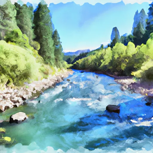 Unnamed Trib In Sec 32 To Confluence With Klamath River
-
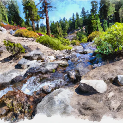 Headwaters In Siskiyou Wilderness To Unnamed Trib In Sec 32, T14N, R6E
-
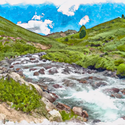 North Fork Dillon Creek Headwaters To Confluence With Dillon Creek
-
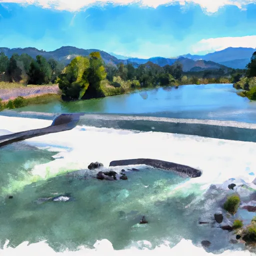 From Toe Of Dam On West End Of Ukonom Lake To Confluence With Klamath River
-
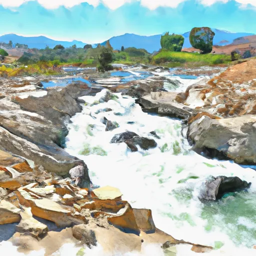 Confluence With Ten Mile Creek To Confluence With Daggett Creek
-
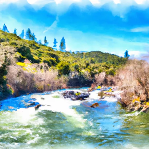 Confluence With Daggett Creek To Confluence With Klamath River

 U. Dillon Creek River Access