Summary
This boat ramp is a concrete ramp that is suitable for small to medium-sized boats. The width of the ramp is not specified in the available information.
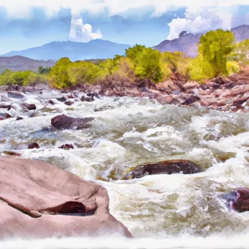
This boat ramp serves the Gunnison River, which is a popular destination for fishing, kayaking, and rafting. The river flows through several counties in Colorado, including Delta, Gunnison, and Montrose counties.
Various types of watercraft are permitted on the Gunnison River, including kayaks, canoes, rafts, and motorized boats. However, it is important to note that there may be restrictions on certain sections of the river, depending on the water level and other factors.
The latest information available on Gunnison Forks boat ramp indicates that it is open and operational, with no reported closures or restrictions at this time. However, it is always a good idea to check with local authorities or park rangers for the most up-to-date information on any boat ramp or waterway before planning your trip.
°F
°F
mph
Wind
%
Humidity

 Gunnison Forks
 Delta County
 Orchard Boat Launch
 Chukar Boat Ramp
 Gunnison River Segment 2