Summary
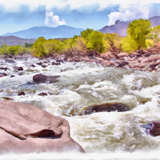
This ramp provides access to the North Fork of the Gunnison River, a popular destination for fishing and rafting. The river is open to various types of watercraft, including kayaks, canoes, rafts, and motorized boats.
According to the Colorado Parks and Wildlife website, the boat ramp is currently open and has no restrictions on use. However, it is important to note that the water levels in the North Fork of the Gunnison River can vary greatly depending on the season and weather conditions. Boaters should check current water levels and take necessary precautions before entering the river.
Overall, the South River Road Boat Ramp in Delta County appears to be a well-maintained and accessible option for those looking to enjoy the recreational opportunities on the North Fork of the Gunnison River.
°F
°F
mph
Wind
%
Humidity

 South River Road Delta County
 Gunnison Forks
 Orchard Boat Launch
 Chukar Boat Ramp
 Gunnison River Segment 2