Summary
This boat ramp is a concrete ramp that offers access to the Surface Creek Reservoir. According to the latest information available, this boat ramp is 10 feet wide, with a slope of 20%.
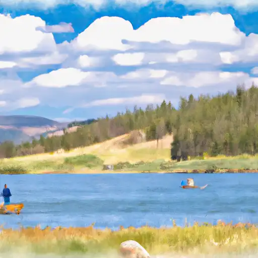
Surface Creek Reservoir is a 213-acre reservoir located in Delta County, Colorado. It is a popular spot for fishing, boating, and other recreational activities. The reservoir is stocked with rainbow trout and other fish species, making it a great spot for fishing enthusiasts.
The Colorado Parks and Wildlife department manages the Surface Creek Reservoir and enforces boating regulations. According to their regulations, motorized boats are allowed on the reservoir, but they must comply with certain rules. Boats with a maximum horsepower of 10 or less are allowed on the reservoir, and boats with a maximum speed of 10 mph are permitted.
In conclusion, the Shea Road Delta County boat ramp is a concrete boat ramp that provides access to the Surface Creek Reservoir in Colorado. The ramp is 10 feet wide, and the reservoir allows for the use of motorized boats with certain restrictions on horsepower and speed.
°F
°F
mph
Wind
%
Humidity

 Shea Road Delta County
 Orchard Boat Launch
 Gunnison Forks
 Chukar Boat Ramp
 Gunnison River Segment 2
 Sweitzer Lake
 Confluence Lake
 Gunnison River