Summary
Based on my research, the Orchard Boat Launch is a concrete boat ramp located on the north shore of the Blue Mesa Reservoir in Colorado. It is managed by the National Park Service and provides access to the reservoir for boaters, fishermen, and other water recreation enthusiasts.
The boat ramp is approximately 45 feet wide, which makes it suitable for launching a wide range of watercraft, including power boats, sailboats, kayaks, canoes, and jet skis. The ramp has a gradual slope, which makes it easy to launch and retrieve boats of different sizes and weights.
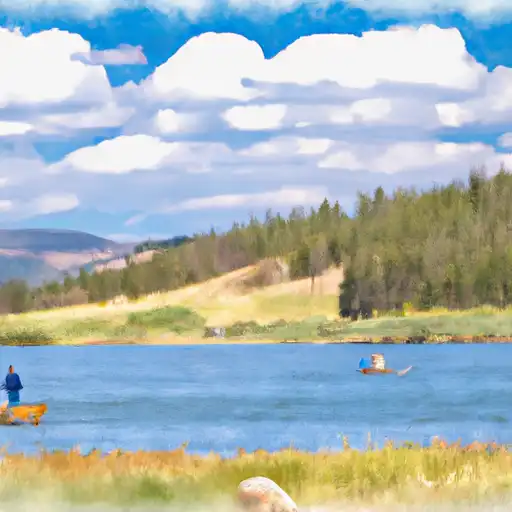
The Blue Mesa Reservoir is one of Colorado's largest bodies of water, covering approximately 20 miles in length and offering over 96 miles of shoreline. It is a popular destination for fishing, boating, and other water sports, and is home to a variety of fish species, including rainbow trout, kokanee salmon, and lake trout.
Regarding the types of craft that are permitted on the water, according to the National Park Service, all motorized boats must be registered and have a valid Colorado State Parks boating permit. Additionally, all watercraft must abide by certain rules and regulations, including speed limits, safety equipment requirements, and restrictions on certain types of activities.
Overall, the Orchard Boat Launch appears to be a well-maintained and popular boat ramp that provides easy access to the Blue Mesa Reservoir for a variety of watercraft.
°F
°F
mph
Wind
%
Humidity

 Orchard Boat Launch
 Shea Road Delta County
 Gunnison Forks
 Chukar Boat Ramp
 Gunnison River Segment 2
 Sweitzer Lake
 Confluence Lake
 Gunnison River