Summary
It is situated at latitude 40.244484 and longitude -105.828973. The boat ramp is a concrete structure that provides access to the water for boats and other watercraft.
The Hilltop Boating Site is a single lane ramp that is approximately 20 feet wide. It has a gradual slope with a maximum depth of around 8 feet. The site also has a small parking area for vehicles and boat trailers.
The boat ramp services the Horsetooth Reservoir, which is a popular recreational area in the foothills of the Rocky Mountains. The reservoir covers over 6 miles and has a storage capacity of 156,735 acre-feet of water. It is used for boating, fishing, swimming, and other water-based activities.
The Horsetooth Reservoir allows a variety of watercraft, including motorboats, sailboats, kayaks, canoes, and paddleboards. However, it is important to note that certain boating regulations and restrictions may apply, such as the requirement for life jackets and boat inspections.
Overall, the Hilltop Boating Site is a convenient access point to the Horsetooth Reservoir for boaters and other water enthusiasts. The latest information confirms its availability and continued use by local residents and visitors alike.
°F
°F
mph
Wind
%
Humidity

 Hilltop Boating Site
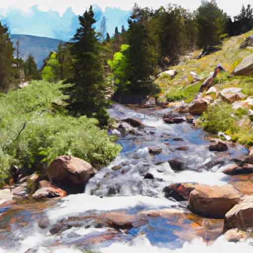 Headwaters To Ends 0.5 Miles Away From Trail Ridge Road
 Begins 0.5 Miles Away From Trail Ridge Road To Ends Where River Segment Exits Rocky Mountain National Park
 Pettingell Lake - RMNP
 Lone Pine Lake - RMNP
 Granby Lake
 Lake Nanita & Drainage - RMNP
 Ten Lake Park - RMNP