Summary
According to the latest information available, the boat ramp named Lake Conasauga Murray County in Georgia is a concrete ramp that is approximately 12 feet wide. It services Lake Conasauga, which is a small, man-made lake located within the Chattahoochee-Oconee National Forests.
The Lake Conasauga boat ramp is designed to accommodate small watercraft such as canoes, kayaks, and small motorboats. However, due to the lake's size and depth, larger boats and watercraft that require deeper water may not be permitted.
It is important to note that regulations and restrictions may vary, and it is always recommended to check with the local authorities or park officials for the most up-to-date information on permitted watercraft and any other restrictions or regulations in place.
°F
°F
mph
Wind
%
Humidity
15-Day Weather Outlook
Nearby Boat Launches
5-Day Hourly Forecast Detail
Area Streamflow Levels
| MILL CREEK NEAR CRANDALL | 41cfs |
| CONASAUGA RIVER NEAR ETON | 283cfs |
| HOLLY CREEK NEAR CHATSWORTH | 385cfs |
| COOSAWATTEE RIVER NEAR ELLIJAY | 678cfs |
| CARTECAY RIVER NEAR ELLIJAY | 364cfs |
| COOSAWATTEE RIVER AT CARTERS | 812cfs |
River Runs
-
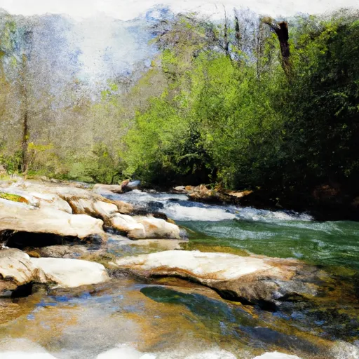 Source In Cohutta Wilderness To Nf Boundary North Of Murray'S Lake
-
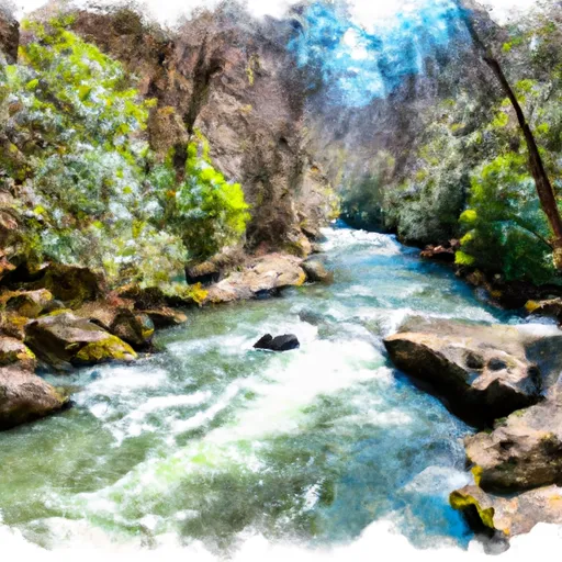 Southern Boundary Cohutta Wilderness Near Peter Cove To Northern Boundary Cohutta Wilderness Near Alaculsy
-
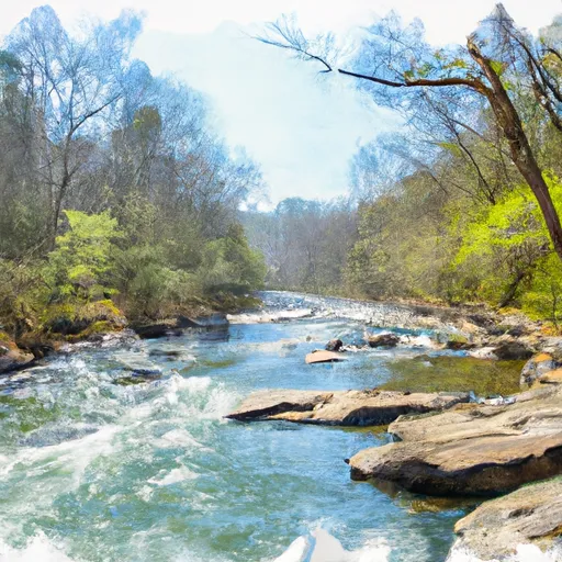 Northern Boundary Cohutta Wilderness To Confluence With Conasauga River
-
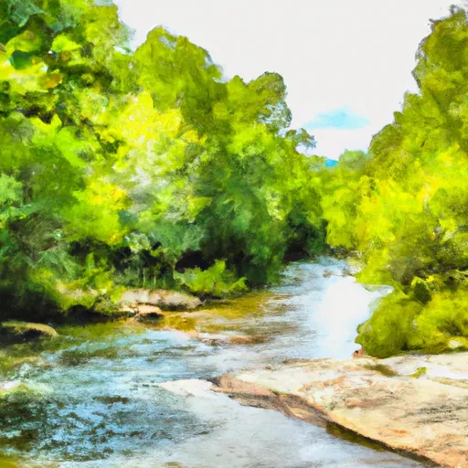 Nf Boundary To Taylor'S Creek In Cherokee Nf (Tn)
-
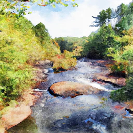 Taylors Creek (Rm 74.5) To Nf Boundary (Rm 70.0)

 Lake Conasauga Murray County