Summary
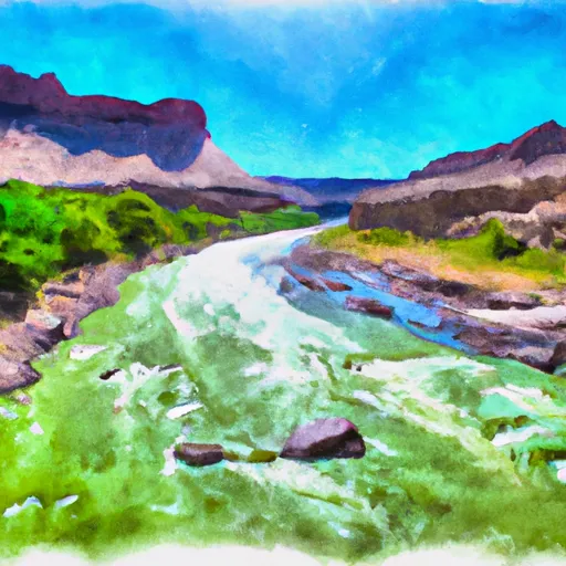
It has a width of 12 feet and is suitable for launching small to medium-sized boats. The ramp provides access to a section of the Green River that is popular for fishing and recreational boating.
According to the latest information available, the Little Hole Boat Launch Area is managed by the Bureau of Land Management and is open year-round. It is suitable for launching canoes, kayaks, rafts, and small motorized boats. However, larger boats may have difficulty launching due to the limited width of the ramp.
Overall, the Little Hole Boat Launch Area is a convenient and accessible location for boaters and anglers looking to explore the Green River in northeastern Utah.
°F
°F
mph
Wind
%
Humidity
15-Day Weather Outlook
5-Day Hourly Forecast Detail
Area Streamflow Levels
| GREEN RIVER NEAR GREENDALE | 841cfs |
| HENRYS FORK NEAR MANILA | 49cfs |
| BIG BRUSH CREEK ABV RED FLEET RES | 8cfs |
| ASHLEY CR ABV SP NR VERNAL UT | 4cfs |
| ASHLEY CREEK NEAR VERNAL | 19cfs |
| GREEN RIVER NEAR JENSEN | 1430cfs |

 Little Hole Boat Launch Area
 Indian Crossing Boat Ramp
 B Section
 Upper Green River