Summary
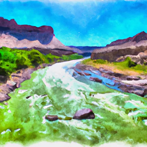
According to the latest available information, the boat ramp is approximately 24 feet wide and suitable for launching small to medium-sized boats and other watercraft. The Green River is a popular destination for kayaking, canoeing, and fishing. The use of motorized boats is permitted, but there are restrictions on the size and horsepower of the engine. It is recommended to check with local authorities for the most up-to-date information and regulations regarding the use of this boat ramp and the Green River.
°F
°F
mph
Wind
%
Humidity
15-Day Weather Outlook
5-Day Hourly Forecast Detail
Area Streamflow Levels
| GREEN RIVER NEAR GREENDALE | 841cfs |
| HENRYS FORK NEAR MANILA | 49cfs |
| BIG BRUSH CREEK ABV RED FLEET RES | 8cfs |
| ASHLEY CR ABV SP NR VERNAL UT | 4cfs |
| ASHLEY CREEK NEAR VERNAL | 18cfs |
| GREEN RIVER NEAR JENSEN | 1370cfs |

 Little Hole Trail Daggett County
 Indian Crossing Boat Ramp
 B Section
 Upper Green River