Summary
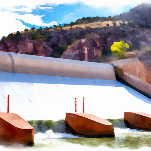
It is approximately 20 feet wide and offers a single launch lane for boats. The coordinates of the boat ramp are latitude: 40.908759 and longitude: -109.422174.
The Spillway Boat Launch Area provides access to the Flaming Gorge Reservoir. This reservoir is primarily used for boating, fishing, and water sports. The body of water is well-known for its excellent fishing opportunities, with a variety of fish species in the lake, including rainbow trout, lake trout, kokanee salmon, and smallmouth bass.
Regarding permitted watercraft, the Flaming Gorge Reservoir allows motorized boats, sailboats, and kayaks. However, personal watercraft such as jet skis and water skis are not allowed on the reservoir. It is essential to note that all boats accessing the reservoir should be registered and comply with the regulations set by the Utah Division of Parks and Recreation.
In conclusion, the Spillway Boat Launch Area in Utah is a concrete boat ramp that provides access to the Flaming Gorge Reservoir. The ramp is approximately 20 feet wide, and it services different types of motorized boats, sailboats, and kayaks.
°F
°F
mph
Wind
%
Humidity

 Spillway Boat Launch Area
 A Section
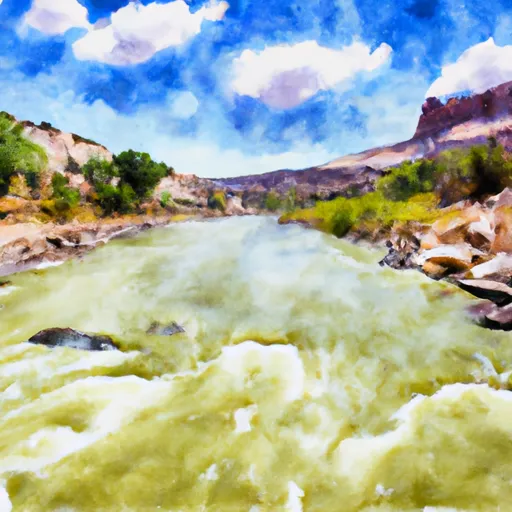
 The Forest Service Spillway Boat Ramp Below Flaming Gorge Dam To The Bureau Of Land Management Boat Ramp At Indian Crossing
 Upper Green River
 B Section