Summary
The boat ramp is a concrete ramp with a gentle slope, making it easy to launch boats. It is about 20 feet wide, providing enough space for multiple boats to launch and offload simultaneously.
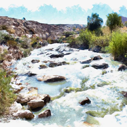
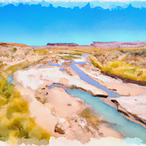
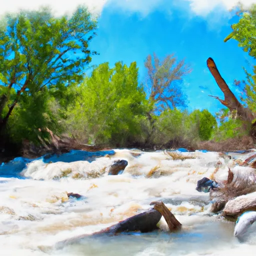
Takeout Beach boat ramp services the Colorado River, which offers a variety of recreational activities such as fishing, kayaking, and rafting. Motorized boats are also permitted on the river, but they must comply with the specific regulations set by the state of Utah.
According to the latest information available, Takeout Beach boat ramp has facilities such as restrooms and parking areas, making it convenient for visitors who want to launch their boats and explore the river. The ramp is also open year-round, except during extreme weather conditions, which can affect water levels and the safety of boaters.
In conclusion, Takeout Beach boat ramp in Utah is a concrete ramp that services the Colorado River, allowing visitors to engage in various recreational activities such as fishing, kayaking, and rafting. The ramp is about 20 feet wide, and it accommodates different types of watercraft, including motorized boats. With facilities such as restrooms and parking areas, Takeout Beach boat ramp offers a convenient and safe way for visitors to explore the Colorado River.
°F
°F
mph
Wind
%
Humidity

 Takeout Beach
 UT 128 Moab
 Rocky Rapid River Access
 Unknown
 Counfluence With Salt Valley Wash To Southern Boundary Of Park
 Mill Creek, North Fork
 Mill Creek