Summary
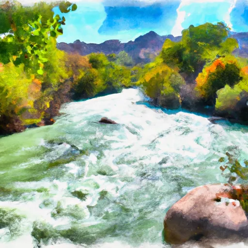
The ideal streamflow range for this section is between 200 and 500 cubic feet per second (cfs), which typically occurs during the spring months. This section has a class rating of III-IV, with a segment mileage of 5.5 miles. There are several notable rapids and obstacles along this stretch of river, including the Pinball rapid and the S-Turn rapid. It is important for visitors to be aware of specific regulations in the area, such as the prohibition of alcohol and glass containers. Additionally, all visitors are required to obtain a permit from the Bureau of Land Management before accessing the river. It is also recommended that visitors wear proper safety gear, including helmets and life jackets. Overall, the Mill Creek, North Fork section of the Whitewater River Run offers a thrilling and challenging experience for experienced kayakers and rafters.
°F
°F
mph
Wind
%
Humidity
15-Day Weather Outlook
River Run Details
| Last Updated | 2025-06-28 |
| River Levels | 61 cfs (5.48 ft) |
| Percent of Normal | 2% |
| Status | |
| Class Level | None |
| Elevation | ft |
| Streamflow Discharge | cfs |
| Gauge Height | ft |
| Reporting Streamgage | USGS 09185100 |


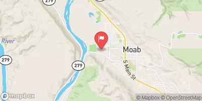
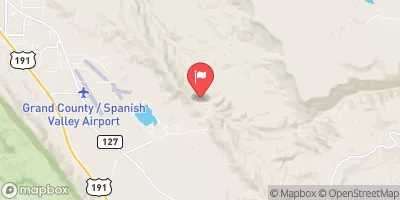
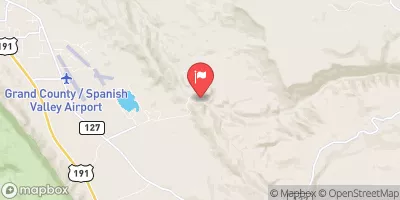
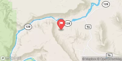
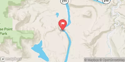
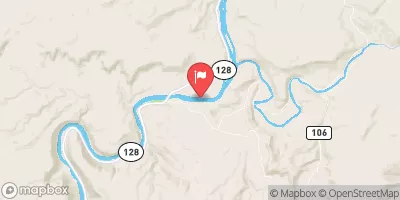
 Sand Flats Recreation Area CG A
 Sand Flats Recreation Area CG D
 Sand Flats Recreation Area CG E
 Sand Flats Recreation Area CG B
 Sand Flats
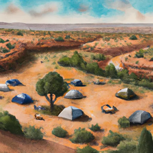 Act campground
 UT 128 Moab
 Takeout Beach
 Kens Lake Recreation Site
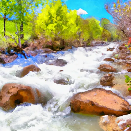 Mill Creek, North Fork
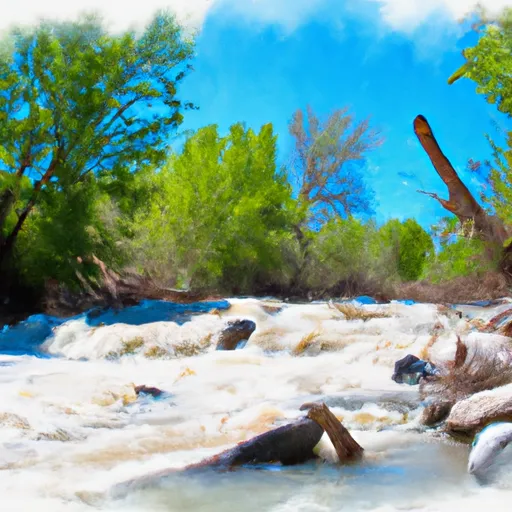 Mill Creek
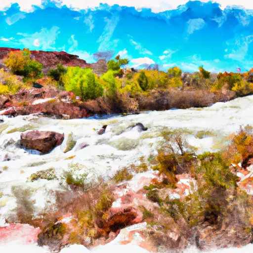 Unknown
 Kane Springs, Colo. River Seg. 4
 Colorado River
 Old City Park
 Swanny City Park
 Arches National Park