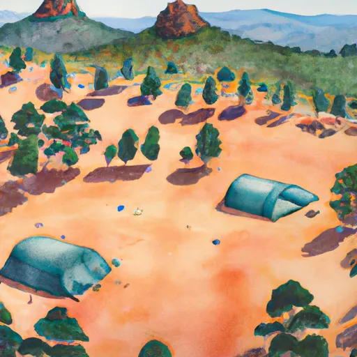
53 (Accessible) campground
Community Reviews
Been here? Share the conditions.
Reviews, ratings & photos are added in the free Snoflo iOS app — rate a spot, tag the conditions, and your visit is verified by location. Add or manage your reviews from the app.
53 (Accessible)
Reservations are generally accepted at these campgrounds, which is highly recommended due to their popularity. The best time to visit these accessible camping areas varies depending on the location. In general, late spring and early fall tend to be the ideal seasons, as the weather is pleasant and the crowds are smaller. However, it is advisable to check the specific campground's website or contact them directly to determine the optimal time to visit.
While each camping area has its own unique attractions, it is important to be cautious and considerate of the environment and local wildlife. Campers are encouraged to follow fire safety guidelines and be mindful of potential hazards such as poison oak or steep terrains. It is always advisable to pack essential items such as insect repellent, sunscreen, and appropriate camping gear to ensure a safe and comfortable stay. By consulting multiple independent sources, campers can verify the accuracy of the provided information and plan their visit accordingly to make the most of California's accessible camping areas.
What's on-site at 53 (Accessible)
Key facilities Snoflo tracks for this campground. Confirm with the operator before booking -- amenities can change seasonally.
Plan your trip down to the hour
Same weather feed Snoflo's iOS app uses -- updated continuously from NOAA / yr.no.
Next 5 days, hour by hour
Temperature line with weather symbols on top, snow + rain accumulation as columns, humidity as a dotted line.
5-day forecast table
Every 3 hours, broken out across temperature, snow, rain, humidity, and wind. Each cell is colour-coded relative to the column min/max so trends jump out at a glance.
| Time | Condition | Temp (°F) | Snow (in) | Rain (in) | Humidity (%) | Wind (mps) | Wind dir |
|---|---|---|---|---|---|---|---|
| Loading detailed forecast… | |||||||
15-day temperature & precipitation
Daily temperatures, snow, and rain projected over the next two weeks. Hover any point for the full breakdown.
Other campgrounds in the area
Snoflo-tracked campsites within driving distance of 53 (Accessible), with reservations status.
| Campground | Reservations | Toilets | View |
|---|---|---|---|
| Camp Host | ✗ | ✗ | → |
| Hike And Bike Campsites | ✗ | ✗ | → |
| Portola Redwoods State Park | ✓ | ✓ | → |
| Tarwater Trail Camp (Primitive) | ✗ | ✗ | → |
| Slate Creek Trail Camp | ✗ | ✗ | → |
Nearby streamflow
USGS streamgauges within reach of 53 (Accessible) -- pulled live from the National Water Information System.
| Streamgauge | Discharge | View |
|---|---|---|
| Pescadero C Nr Pescadero Ca | 9 cfs | → |
| Saratoga C A Saratoga Ca | 1 cfs | → |
| San Gregorio C A San Gregorio Ca | 4 cfs | → |
| San Francisquito C A Stanford University Ca | 0 cfs | → |
| Matadero C A Palo Alto Ca | 0 cfs | → |
| San Lorenzo R A Big Trees Ca | 24 cfs | → |
Nearby snow depths
NRCS SNOTEL stations within reach of 53 (Accessible) -- relevant when planning a shoulder-season or alpine trip.
| SNOTEL station | Snowpack | 24h Snowfall | View |
|---|---|---|---|
| Half Moon Bay 0.5 Ssw | 0.0 in | 0.0 in | → |
Plan a longer trip
The closest parks, lakes, boat launches, and paddle runs so a camping night can grow into a full weekend.
Parks
- Portola Redwoods State Park
- Pescadero Creek County Park
- Sam Mcdonald County Park
- San Mateo County Memorial Park
- Castle Rock State Park
- Los Trancos Open Space Preserve
Boat launches
- Stevens Creek Reservoir
- Loch Lomond Recreation Area
- Vasona Lake County Park
- Palo Alto Boat Launch
- San Francisco Bay Trail East Palo Alto
- Santa Clara County
Fishing spots
Camping essentials & Leave No Trace
- Pack it in, pack it out
- Take all trash, food scraps, and gear back with you to keep campsites clean and protect wildlife.
- Respect wildlife
- Observe animals from a distance, store food securely, and never feed wildlife to maintain natural behavior and safety.
- Know before you go
- Check weather, fire restrictions, trail conditions, and permit requirements to ensure a safe and well-planned trip.
- Minimize campfire impact
- Use established fire rings, keep fires small, fully extinguish them, or opt for a camp stove when fires are restricted.
- Leave what you find
- Preserve natural and cultural features by avoiding removal of plants, rocks, artifacts, or other elements of the environment.
Set push alerts in the Snoflo app
Save 53 (Accessible) as a favorite, set a custom threshold (precipitation, snowpack, freezing temperatures), and the iOS app will push the moment conditions cross.
About 53 (Accessible)
Can I make reservations at 53 (Accessible)?
This campground does not appear to accept reservations -- it's typically first-come, first-served. Arrive early on summer weekends.
How fresh is the weather data on this page?
The hourly forecast updates throughout the day from the NOAA / yr.no public feeds. Streamflow data is pulled live from USGS streamgauges and snowpack from the NRCS SNOTEL network.
What's the best time of year to visit?
Use the 15-day temperature & precipitation outlook on this page to plan -- pick a window with comfortable temperatures and low precipitation. For longer trips, the 5-day hourly meteogram shows snow + rain accumulation hour-by-hour.
How do I get to 53 (Accessible)?
Tap Directions in the hero above to open driving directions in Google Maps, or Open in map to center the Snoflo interactive map on the campground.
Can I get alerts when conditions change?
Yes -- alerts are managed through the Snoflo iOS app. Favorite this campground, set a threshold (temperature, snowpack, precipitation), and you'll get a push the moment it crosses.
Other campgrounds near here
Snoflo-tracked campgrounds within driving distance of 53 (Accessible).