2026-02-19T22:00:00-08:00
* WHAT...Heavy snow with additional snow accumulations up to 1 foot between 1000 and 3000 feet, 2 to 3 feet above 3000 feet, and up to 4 feet at peaks. Light snowfall accumulations up to 2 inches below 1000 feet in Shasta and Tehama Counties. Winds gusting as high 45 to 55 mph. * WHERE...Portions of Northern California, now including elevations below 1000 ft in Shasta and Tehama Counties * WHEN...Until 10 PM PST Thursday. * IMPACTS...Dangerous to near impossible travel conditions with chain controls and road closures. Additional power outages from downed trees and power lines. Low visibility due to a combination of gusty wind and heavy snow. * ADDITIONAL DETAILS...Snow levels remain around 1500 to 2500 feet through Thursday in the Sierra Foothills with potential to see snow levels as low as 1000 feet. Snow levels potentially down to 300 feet along the southern Cascades, Shasta County, and Tehama County in the morning hours.
Headwaters Of North Yuba River (Sec 10, T20n, R13 E) To One-Eighth Mile Downstream Of Confluence With Cherokee Creek Paddle Report
Last Updated: 2026-02-07
The Whitewater River Run from Headwaters Of North Yuba River to One-Eighth Mile Downstream Of Confluence With Cherokee Creek in California is a popular destination for kayakers and rafters.
Summary
The ideal streamflow range for this run is between 500 and 1500 cfs, with the best time for this being in the spring months of April to June. The class rating for this run is class III to IV, making it suitable for intermediate to advanced paddlers. The segment mileage for this run is approximately 9.5 miles, with several challenging rapids and obstacles along the way.
One of the most challenging rapids is called the "Staircase" which is a series of drops and ledges that require precise navigation. Other notable rapids include "Butcher's Slot" and "Ramshorn". It is important to note that this run requires a permit from the Tahoe National Forest, and the use of motorized boats is prohibited. Additionally, there are strict regulations regarding litter and camping, as well as restrictions on the use of alcohol and drugs. Paddlers are advised to familiarize themselves with these regulations before undertaking this run.
°F
°F
mph
Wind
%
Humidity
15-Day Weather Outlook
River Run Details
| Last Updated | 2026-02-07 |
| River Levels | 2740 cfs (7.21 ft) |
| Percent of Normal | 75% |
| Status | |
| Class Level | iii |
| Elevation | ft |
| Streamflow Discharge | cfs |
| Gauge Height | ft |
| Reporting Streamgage | USGS 11413000 |
5-Day Hourly Forecast Detail
Nearby Streamflow Levels
 N Yuba R Bl Goodyears Bar Ca
|
533cfs |
 Deer C Nr Smartville Ca
|
299cfs |
 Spanish C A Quincy Ca
|
120cfs |
 Spanish C Ab Blackhawk C At Keddie Ca
|
209cfs |
 Yuba R Nr Marysville Ca
|
3510cfs |
 Little Truckee R Bl Div Dam Nr Sierraville Ca
|
3cfs |
Area Campgrounds
| Location | Reservations | Toilets |
|---|---|---|
 Carlton Flat Campground
|
||
 Carlton Flat
|
||
 Cal-Ida Campground
|
||
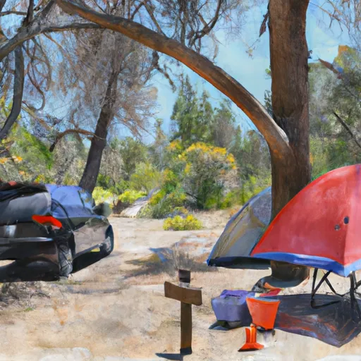 Fiddle Creek Campground
|
||
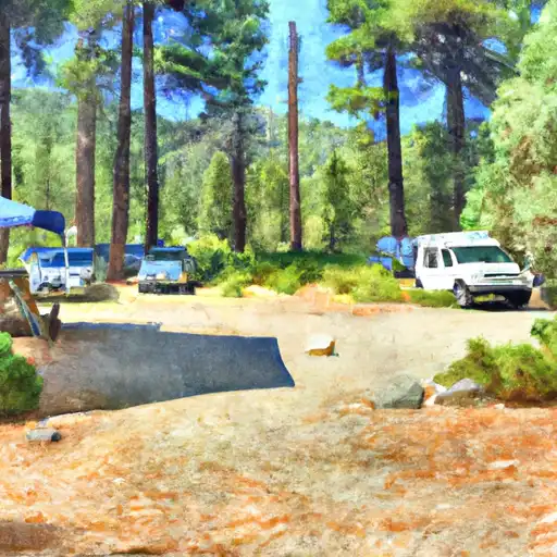 Fiddle Creek
|
||
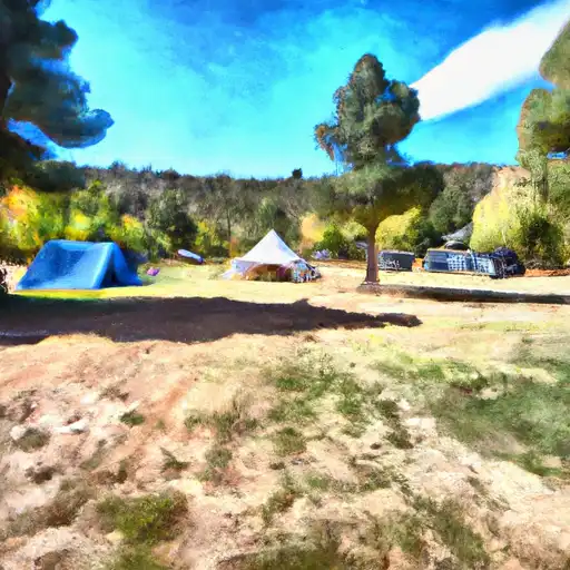 Cal Ida
|
River Runs
-
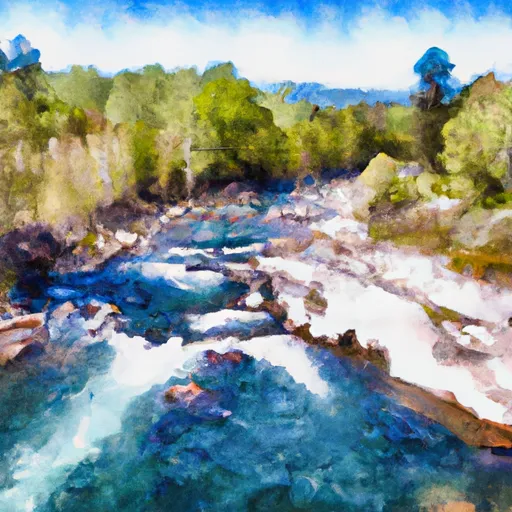 Headwaters Of North Yuba River (Sec 10, T20N, R13 E) To One-Eighth Mile Downstream Of Confluence With Cherokee Creek
-
 Confluence With South Fork Canyon Creek To Confluence With North Yuba River
-
 One-Eighth Mile Downstream From Confluence With Cherokee Creek To One-Quarter Mile Upstream From Confluence With Slate Creek
-
 Slate Reservoir To North Yuba River
-
 One-Quarter Mile Upstream From Confluence With Slate Creek To Bullards Bar Reservoir Spillway (Elevation 1902 Feet)
-
 Headwaters To Slate Reservoir

