2026-02-19T22:00:00-08:00
* WHAT...Heavy snow with additional snow accumulations up to 1 foot between 1000 and 3000 feet, 2 to 3 feet above 3000 feet, and up to 4 feet at peaks. Light snowfall accumulations up to 2 inches below 1000 feet in Shasta and Tehama Counties. Winds gusting as high 45 to 55 mph. * WHERE...Portions of Northern California, now including elevations below 1000 ft in Shasta and Tehama Counties * WHEN...Until 10 PM PST Thursday. * IMPACTS...Dangerous to near impossible travel conditions with chain controls and road closures. Additional power outages from downed trees and power lines. Low visibility due to a combination of gusty wind and heavy snow. * ADDITIONAL DETAILS...Snow levels remain around 1500 to 2500 feet through Thursday in the Sierra Foothills with potential to see snow levels as low as 1000 feet. Snow levels potentially down to 300 feet along the southern Cascades, Shasta County, and Tehama County in the morning hours.
Summary
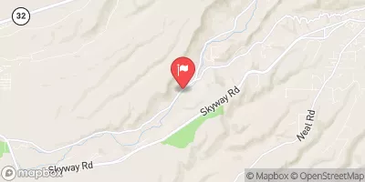
The ideal streamflow range for this run is between 800-2,000 cfs. It is rated as a Class IV+ to V run with a segment mileage of 18.5 miles. The run features many challenging rapids and obstacles, including Widowmaker, a Class V rapid with a tight entrance and a dangerous undercut rock on the left side. Other notable rapids include Pinball, the Class IV+ S-Bend, and the Class IV+ Devil's Slide.
The area has specific regulations for river use. All boaters must have a valid California Boater Safety Card and wear a personal flotation device at all times. Camping is not allowed along the river, and fires are only permitted in designated areas. Additionally, there are strict regulations regarding the use of alcohol and drugs on the river.
°F
°F
mph
Wind
%
Humidity
15-Day Weather Outlook
River Run Details
| Last Updated | 2026-02-07 |
| River Levels | 2740 cfs (7.21 ft) |
| Percent of Normal | 75% |
| Status | |
| Class Level | iv+-v |
| Elevation | ft |
| Streamflow Discharge | cfs |
| Gauge Height | ft |
| Reporting Streamgage | USGS 11413000 |
5-Day Hourly Forecast Detail
Nearby Streamflow Levels
 N Yuba R Bl Goodyears Bar Ca
|
533cfs |
 Deer C Nr Smartville Ca
|
299cfs |
 Spanish C A Quincy Ca
|
120cfs |
 Spanish C Ab Blackhawk C At Keddie Ca
|
209cfs |
 Yuba R Nr Marysville Ca
|
3510cfs |
 Butte C Nr Chico Ca
|
635cfs |
Area Campgrounds
| Location | Reservations | Toilets |
|---|---|---|
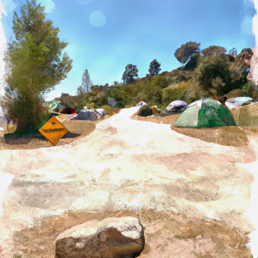 Carlton Flat Campground
|
||
 Carlton Flat
|
||
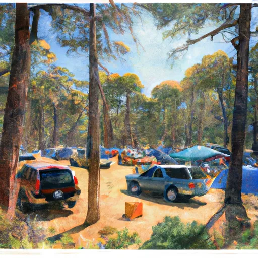 Cal-Ida Campground
|
||
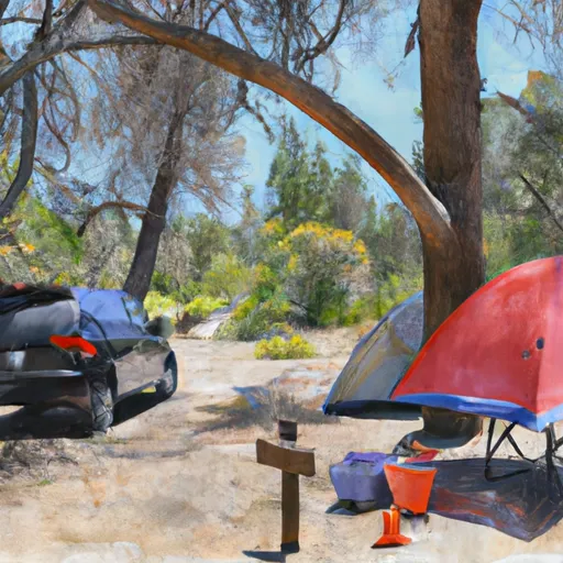 Fiddle Creek Campground
|
||
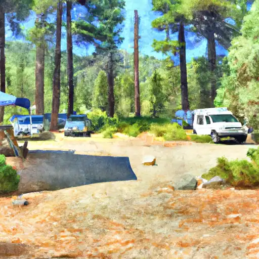 Fiddle Creek
|
||
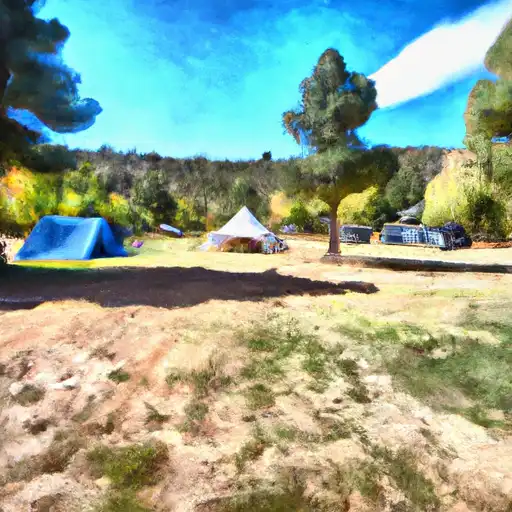 Cal Ida
|
River Runs
-
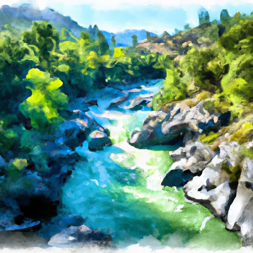 Confluence With South Fork Canyon Creek To Confluence With North Yuba River
-
 Slate Reservoir To North Yuba River
-
 Headwaters Of North Yuba River (Sec 10, T20N, R13 E) To One-Eighth Mile Downstream Of Confluence With Cherokee Creek
-
 One-Eighth Mile Downstream From Confluence With Cherokee Creek To One-Quarter Mile Upstream From Confluence With Slate Creek
-
 One-Quarter Mile Upstream From Confluence With Slate Creek To Bullards Bar Reservoir Spillway (Elevation 1902 Feet)
-
 Headwaters To Slate Reservoir

