Summary
of Water and Power Diversion. The ideal streamflow range for this run is between 300-800 cubic feet per second (cfs). The class rating for this section of the river is classified as Class III, with some Class IV rapids during high water periods. The segment mileage for this run is approximately 7.5 miles long.
There are specific river rapids and obstacles that are present along this run, including the "Dinky Falls," "Tongue," "Pumphouse," "The Plunge," and "The Toilet Bowl." These rapids range in difficulty but can provide a challenge for experienced paddlers during higher water levels.
There are specific regulations and guidelines that must be followed when paddling this section of the river. A permit is required from the San Bernardino National Forest Service, and all paddlers must wear a personal flotation device (PFD) at all times while on the river. Additionally, no alcoholic beverages are allowed on the river, and all trash must be packed out.
In conclusion, the Whitewater River Run is a popular paddle destination for intermediate to advanced paddlers. With its Class III-IV rapids, beautiful scenery, and specific regulations, it provides a unique and exciting paddling experience in Southern California.
°F
°F
mph
Wind
%
Humidity
15-Day Weather Outlook
River Run Details
| Last Updated | 2026-02-07 |
| River Levels | 235 cfs (2.76 ft) |
| Percent of Normal | 83% |
| Status | |
| Class Level | iii-iv |
| Elevation | ft |
| Streamflow Discharge | cfs |
| Gauge Height | ft |
| Reporting Streamgage | USGS 10289500 |
5-Day Hourly Forecast Detail
Nearby Streamflow Levels
Area Campgrounds
| Location | Reservations | Toilets |
|---|---|---|
 Cattleguard
|
||
 Lower Lee Vining Campground
|
||
 Lower Lee Vining
|
||
 Mono Vista RV Park
|
||
 Boulder
|
||
 Ellery
|


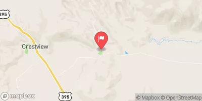
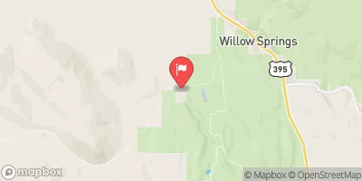
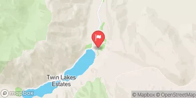
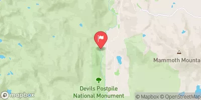
 Sce Powerhouse To La Dept. Of Water And Power Diversion
 Headwaters To Walker Lake
 Headwaters To Wilderness Boundary
 Saddlebag Lake Rna Boundary To State Highway 120
 Headwaters Tributaries To Research Natural Area Boundary
 Lundy Lake
 Rush Creek
 Finger Lake
 Alpine Lake
 Virginia Lakes