Summary
Nearby activities include hiking, fishing, and mountain biking. The campground amenities include picnic tables, fire rings, and vault toilets. It is first-come-first-serve with 21 campsites available. The best time to visit is from late spring to early fall with average temperatures ranging from 60 to 80 degrees Fahrenheit. Overall, the Camp Hale Memorial Camping Area is a great option for those seeking a peaceful camping experience in a beautiful natural setting.
°F
°F
mph
Wind
%
Humidity
15-Day Weather Outlook
Nearby Campgrounds
5-Day Hourly Forecast Detail
Nearby Streamflow Levels
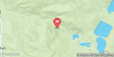 East Fork Eagle River Near Climax
|
0cfs |
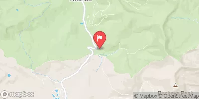 Ewing Ditch At Tennessee Pass
|
-999cfs |
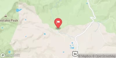 Wurtz Ditch Near Tenneessee Pass
|
-999cfs |
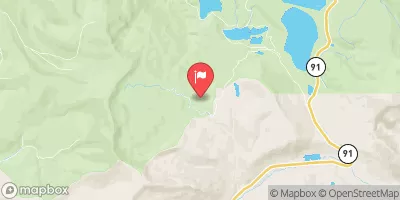 Columbine Ditch Near Fremont Pass
|
-999cfs |
 Homestake Creek At Gold Park
|
6cfs |
 Eagle River At Red Cliff
|
146cfs |
Camping Essential Practices
Take all trash, food scraps, and gear back with you to keep campsites clean and protect wildlife.
Respect Wildlife
Observe animals from a distance, store food securely, and never feed wildlife to maintain natural behavior and safety.
Know Before You Go
Check weather, fire restrictions, trail conditions, and permit requirements to ensure a safe and well-planned trip.
Minimize Campfire Impact
Use established fire rings, keep fires small, fully extinguish them, or opt for a camp stove when fires are restricted.
Leave What You Find
Preserve natural and cultural features by avoiding removal of plants, rocks, artifacts, or other elements of the environment.
Related Links
Nearby Snowpack Depths
|
FREMONT PASS
|
13" |
|
CLIMAX COOP
|
0" |
|
FREMONT PASS
|
12" |
|
NOHRSC COPPER MOUNTAIN
|
2" |
|
COPPER MOUNTAIN
|
2" |
|
NOHRSC BUCKSKIN JOE
|
1" |

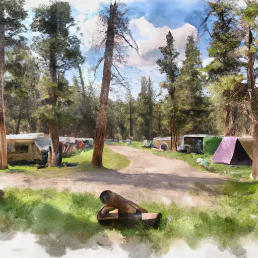 Camp Hale Memorial
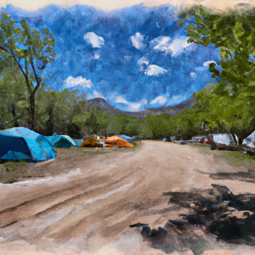 Camp Hale Memorial Campground
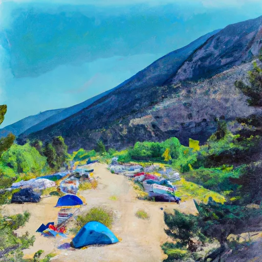 Camp Hale East Fork Group Campground
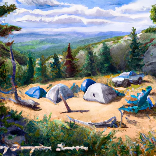 Hornsilver
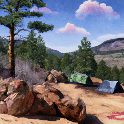 Blodgett
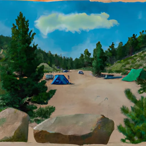 Hornsilver Campground
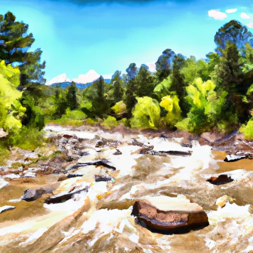 East Fork Arkansas River
 Upper-Upper Ten Mile
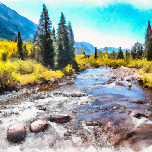 Headwaters To Holy Cross Wilderness Boundary
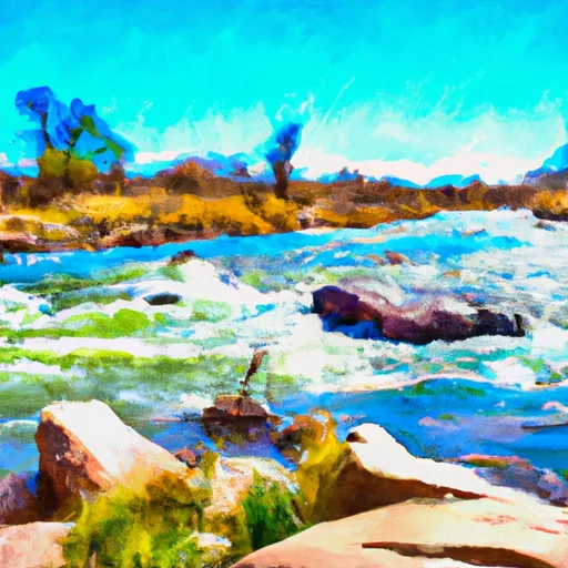 Arkansas River Segment 1
 Upper Ten Mile
 Middle Ten Mile
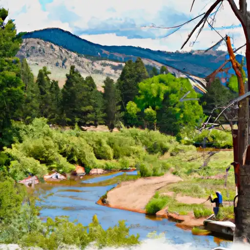 Kiln Creek
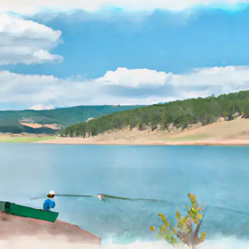 Homestake Reservoir
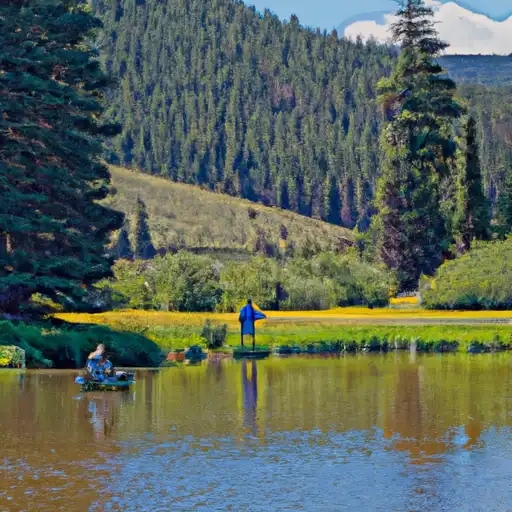 Black Lakes (Vail)
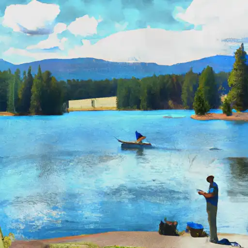 Turquoise Lake
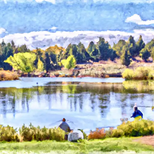 Curtain Ponds