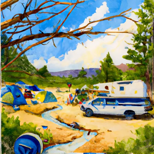
Mud Springs A3 Campground
Community Reviews
Been here? Share the conditions.
Reviews, ratings & photos are added in the free Snoflo iOS app — rate a spot, tag the conditions, and your visit is verified by location. Add or manage your reviews from the app.
Mud Springs A3
Reservations at Mud Springs A3 camping area are not accepted, and campsites are available on a first-come, first-served basis. It is advisable to arrive early, especially during peak seasons, to secure a spot. The best time to visit this camping area is during the summer months when the weather is generally mild and allows for outdoor activities. However, it is essential to check weather conditions beforehand, as sudden rainstorms can occur.
While enjoying your stay at Mud Springs A3 camping area, it is crucial to be aware of a few things. Wildlife, such as bears and mountain lions, may inhabit the surrounding area, so proper food storage techniques should be followed to avoid attracting them to the campsite. Additionally, the terrain can be uneven and rocky, requiring caution while hiking or setting up tents. Lastly, campers should always practice Leave No Trace principles and clean up after themselves to maintain the natural beauty of the area for future visitors.
What's on-site at Mud Springs A3
Key facilities Snoflo tracks for this campground. Confirm with the operator before booking -- amenities can change seasonally.
Plan your trip down to the hour
Same weather feed Snoflo's iOS app uses -- updated continuously from NOAA / yr.no.
Next 5 days, hour by hour
Temperature line with weather symbols on top, snow + rain accumulation as columns, humidity as a dotted line.
5-day forecast table
Every 3 hours, broken out across temperature, snow, rain, humidity, and wind. Each cell is colour-coded relative to the column min/max so trends jump out at a glance.
| Time | Condition | Temp (°F) | Snow (in) | Rain (in) | Humidity (%) | Wind (mps) | Wind dir |
|---|---|---|---|---|---|---|---|
| Loading detailed forecast… | |||||||
15-day temperature & precipitation
Daily temperatures, snow, and rain projected over the next two weeks. Hover any point for the full breakdown.
Other campgrounds in the area
Snoflo-tracked campsites within driving distance of Mud Springs A3, with reservations status.
| Campground | Reservations | Toilets | View |
|---|---|---|---|
| Mud Springs A2 | ✗ | ✗ | → |
| Mud Springs A1 | ✗ | ✗ | → |
| Mud Springs A4 | ✗ | ✗ | → |
| Mud Springs A6 | ✗ | ✗ | → |
| Mud Springs A5 | ✗ | ✗ | → |
Nearby streamflow
USGS streamgauges within reach of Mud Springs A3 -- pulled live from the National Water Information System.
| Streamgauge | Discharge | View |
|---|---|---|
| Gunnison River Near Grand Junction | 577 cfs | → |
| Dolores River Near Gateway | 4 cfs | → |
| Colorado River Near Colorado-Utah State Line | 1,660 cfs | → |
| Colo River Blw Grd Valley Div Nr Palisade Co | 274 cfs | → |
| Dolores River Near Cisco | 5 cfs | → |
| Colorado River Near Cisco | 1,810 cfs | → |
Nearby snow depths
NRCS SNOTEL stations within reach of Mud Springs A3 -- relevant when planning a shoulder-season or alpine trip.
| SNOTEL station | Snowpack | 24h Snowfall | View |
|---|---|---|---|
| Redlands 1.4 Sse | 0.0 in | 0.0 in | → |
| Grand Junction 3.6 W | 0.0 in | 0.0 in | → |
| Grand Junction 4.0 W | 0.0 in | 0.0 in | → |
| Grand Junction 1.0 E | 0.0 in | 0.0 in | → |
| East Junction Ham | 0.0 in | 0.0 in | → |
| Glade Park | 0.0 in | 0.0 in | → |
Plan a longer trip
The closest parks, lakes, boat launches, and paddle runs so a camping night can grow into a full weekend.
Parks
- Colorado National Monument
- James M Robb Colorado River State Park
- Columbine Park
- Mcinnis Canyons National Conservation
- Mcinnis Canyons National Conservation Area
- Wilderness Black Ridge Canyons
Boat launches
- Redlands Dam River Access
- James M. Robb - Colorado River State Park
- Eagle Rim Trail Grand Junction
- Whitewater Boat Launch
- State Highway 141 Mesa County
- Mesa County
Fishing spots
Camping essentials & Leave No Trace
- Pack it in, pack it out
- Take all trash, food scraps, and gear back with you to keep campsites clean and protect wildlife.
- Respect wildlife
- Observe animals from a distance, store food securely, and never feed wildlife to maintain natural behavior and safety.
- Know before you go
- Check weather, fire restrictions, trail conditions, and permit requirements to ensure a safe and well-planned trip.
- Minimize campfire impact
- Use established fire rings, keep fires small, fully extinguish them, or opt for a camp stove when fires are restricted.
- Leave what you find
- Preserve natural and cultural features by avoiding removal of plants, rocks, artifacts, or other elements of the environment.
Set push alerts in the Snoflo app
Save Mud Springs A3 as a favorite, set a custom threshold (precipitation, snowpack, freezing temperatures), and the iOS app will push the moment conditions cross.
About Mud Springs A3
Can I make reservations at Mud Springs A3?
This campground does not appear to accept reservations -- it's typically first-come, first-served. Arrive early on summer weekends.
How fresh is the weather data on this page?
The hourly forecast updates throughout the day from the NOAA / yr.no public feeds. Streamflow data is pulled live from USGS streamgauges and snowpack from the NRCS SNOTEL network.
What's the best time of year to visit?
Use the 15-day temperature & precipitation outlook on this page to plan -- pick a window with comfortable temperatures and low precipitation. For longer trips, the 5-day hourly meteogram shows snow + rain accumulation hour-by-hour.
How do I get to Mud Springs A3?
Tap Directions in the hero above to open driving directions in Google Maps, or Open in map to center the Snoflo interactive map on the campground.
Can I get alerts when conditions change?
Yes -- alerts are managed through the Snoflo iOS app. Favorite this campground, set a threshold (temperature, snowpack, precipitation), and you'll get a push the moment it crosses.
Other campgrounds near here
Snoflo-tracked campgrounds within driving distance of Mud Springs A3.