Summary
The area is popular for hiking, kayaking, and whitewater rafting, with the Ocoee Whitewater Center just a few miles away. The campground has 37 campsites, with amenities such as restrooms, picnic tables, and fire rings. Reservations can be made in advance, but a limited number of sites are available for first-come-first-serve campers. An interesting fact about the area is that Thunder Rock is a large boulder that was used as a landmark by early Native American tribes and is now a popular spot for rock climbing. The best time of year to visit is during the fall when the leaves are changing colors, with average temperatures ranging from the mid-50s to mid-70s Fahrenheit. Thunder Rock Camping Area offers a peaceful and picturesque escape from the hustle and bustle of daily life, making it the perfect destination for nature lovers seeking a relaxing retreat.
Nearby Campgrounds
Weather Forecast
Nearby Streamflow Levels
 Ocoee River At Copperhill
|
930cfs |
 Mill Creek Near Crandall
|
93cfs |
 Oostanaula Creek Near Sanford
|
92cfs |
 Hiwassee River At Charleston
|
10400cfs |
 Tellico River At Tellico Plains
|
587cfs |
 Toccoa River Near Dial
|
1550cfs |
Camping Essential Practices
Take all trash, food scraps, and gear back with you to keep campsites clean and protect wildlife.
Respect Wildlife
Observe animals from a distance, store food securely, and never feed wildlife to maintain natural behavior and safety.
Know Before You Go
Check weather, fire restrictions, trail conditions, and permit requirements to ensure a safe and well-planned trip.
Minimize Campfire Impact
Use established fire rings, keep fires small, fully extinguish them, or opt for a camp stove when fires are restricted.
Leave What You Find
Preserve natural and cultural features by avoiding removal of plants, rocks, artifacts, or other elements of the environment.
Related Links
Nearby Snowpack Depths
|
JASPER
|
0" |
|
DAHLONEGA
|
0" |
|
SAUTEE 3.5 SW
|
0" |
|
KINGSTON
|
0" |
|
GERMANY VALLEY
|
0" |

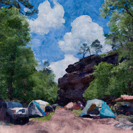 Thunder Rock
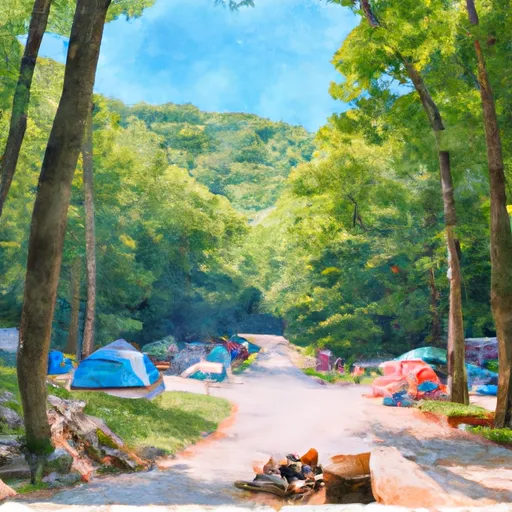 Thunder Rock Campground
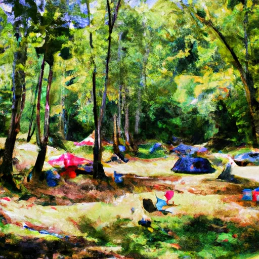 Tumbling Creek Campground
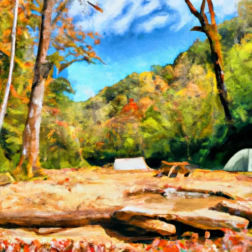 Tumbling Creek
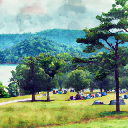 Parksville Lake Recreation Area
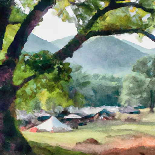 Parksville
 Powerhouse Road 820-832, Reliance
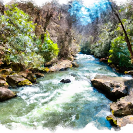 Southern Boundary Cohutta Wilderness Near Peter Cove To Northern Boundary Cohutta Wilderness Near Alaculsy
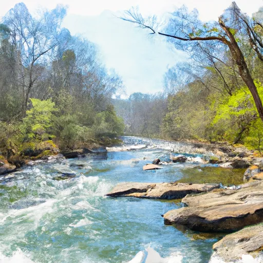 Northern Boundary Cohutta Wilderness To Confluence With Conasauga River
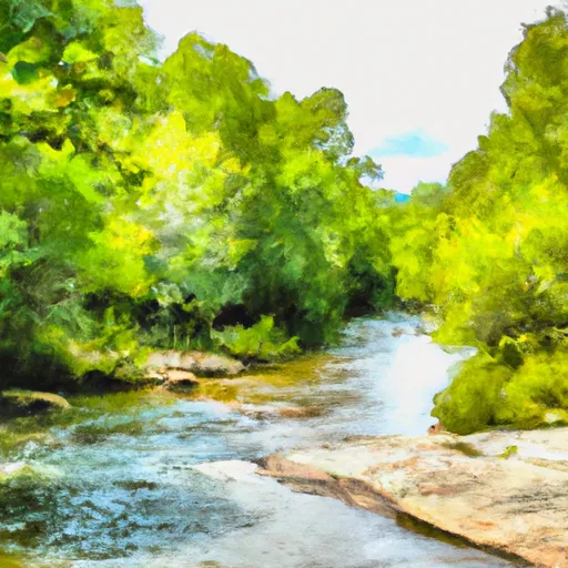 Nf Boundary To Taylor'S Creek In Cherokee Nf (Tn)
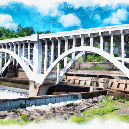 Apalachia Powerhouse (Rm 53.5) To Us411 Bridge (Rm 43.0)
 Wilderness Cohutta
 Wilderness Big Frog
 Wilderness Gee Creek
 McKamy Lake
 Big Bend
 Hiwassee River