°F
°F
mph
Windspeed
%
Humidity


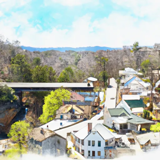
Natural Bridge, Virginia is located in the central part of the state, nestled in the beautiful Shenandoah Valley. The area experiences a moderate climate, with warm summers and cool winters. Temperatures range from an average high of 87°F (31°C) in the summer to an average low of 25°F (-4°C) in the winter. Precipitation is evenly distributed throughout the year, with an average of 44 inches (112 cm) annually.
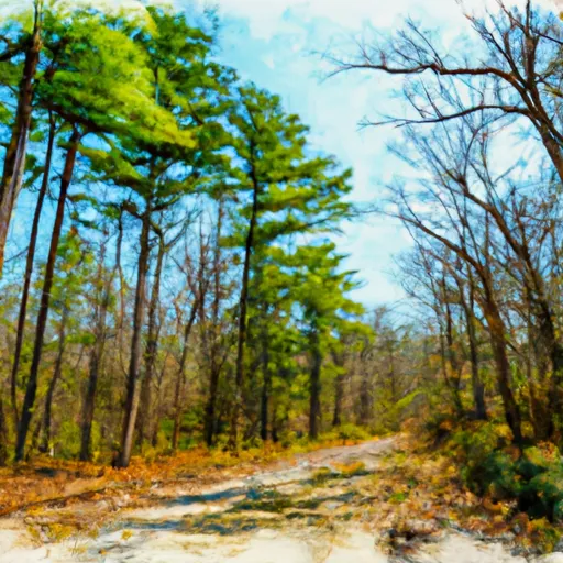
One of the highlights of Natural Bridge is its namesake, the Natural Bridge itself. This geological wonder is a 215-foot (66 m) tall natural limestone arch spanning over a gorge carved by Cedar Creek. The area is also home to several outdoor recreation opportunities, including hiking trails, camping sites, and fishing spots along Cedar Creek. Additionally, the region offers opportunities for birdwatching, wildlife spotting, and scenic drives through the nearby Blue Ridge Mountains.
The hydrology constituents of Natural Bridge are primarily centered around Cedar Creek, which flows through the area. The creek offers opportunities for kayaking and canoeing, allowing visitors to explore the picturesque surroundings. With its stunning landscape and diverse outdoor activities, Natural Bridge, Virginia is a must-visit destination for nature enthusiasts and those seeking a peaceful retreat in a beautiful natural setting.
Weather Forecast
Natural-Bridge receives approximately 1202mm of rain per year, with humidity levels near 82% and air temperatures averaging around 13°C. Natural-Bridge has a plant hardyness factor of 7, meaning plants and agriculture in this region tend to thrive during the non-winter months.
Regional Streamflow Levels
62
Cubic Feet Per Second
191
Cubic Feet Per Second
83
Cubic Feet Per Second
272
Cubic Feet Per Second
Nearby Camping
| Camping Area | Reservations | Toilets | Showers |
|---|---|---|---|
| Peaks of Otter - Blue Ridge Parkway | |||
| North Creek | |||
| Otter Creek - Blue Ridge Parkway | |||
| Glen Maury Park | |||
| Laurel Fork | |||
| Cave Mountain Lake |


